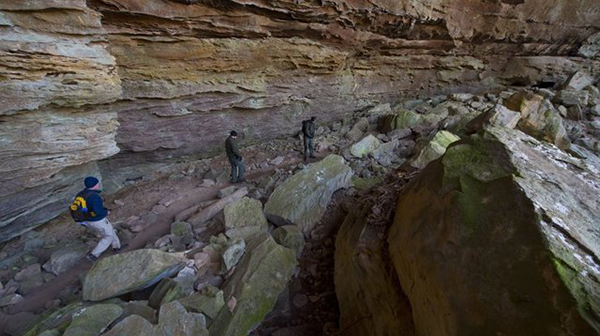
Walk in the Woods Daddy’s Creek Trail OVERLOOK

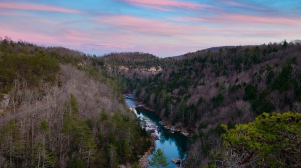
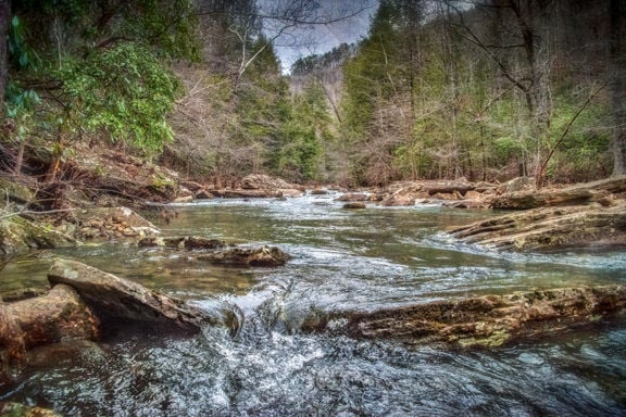
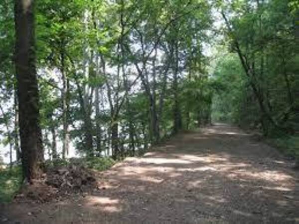
Distance: 2.2 miles.  Rating: Easy to moderate. Daddy’s Creek Trailhead Overlook is a 2.2 mile lightly trafficked out and back trail located near Crab Orchard, Tennessee that features a river and is good for all skill levels. The trail is primarily used for hiking and nature trips and is accessible year-round. MEET AT: the Trailhead […]
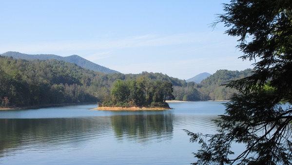
East Tellico Lake from Marina/ Antioch Trailhead to Coytee Loop Trailhead

East Tellico Lake from Marina/ Antioch Trailhead to Coytee Loop Trailhead 8.1 easy to moderate miles with shuttle. Option for short hike from Antioch to Glendale Parking 3.3 miles.Carpool cost is $7. Bring lunch, snacks, (electrolytes) water, bug spray and sunscreen. Persons 18 and over, members and non-members welcome. Minors must be accompanied by an […]

CT Turkey Creek to Devil’s Breakfast Table, Catoosa WMA, Hebbetsburg.

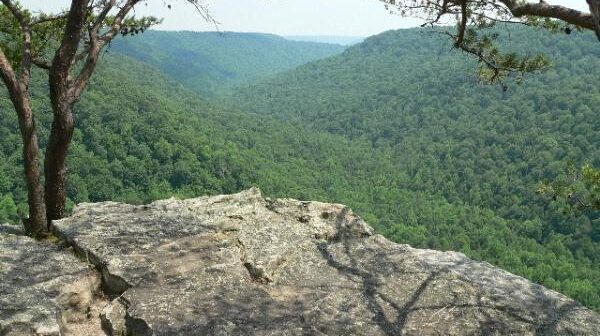
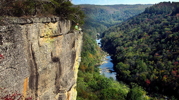
Joint hike with Upper Cumberland Chapter. The trail is difficult due to the elevation change and lots of rock steps.   SHORT HIKE: 4-5 mile in/out hike. From Turkey Creek the trail proceeds along Daddy's Creek gorge bluff under sheer bluffs. The last mile, the trail decends down into the canyon. There are a couple […]

Plateau Spring Getaway – Oak Mountain State Park, Pelham, AL

Meet Central Baptist Church 1346 S Main St. Crossville at 7:00 a.m. departure time. 2 hours into the trip we will stop for a short break at the pilot Travel Center, 319 Deer Head Cove Rd, Rising Fawn, GA 30738 (THiS IS EASTERN TIME ZONE) (add as a stop in your GPS) Prior to arriving […]

Walk in the Woods Fairfield Glade: Stonehenge Trail

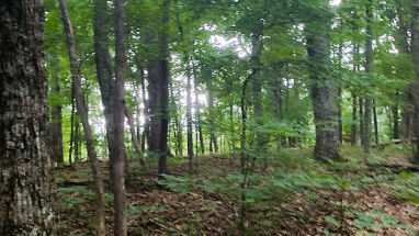
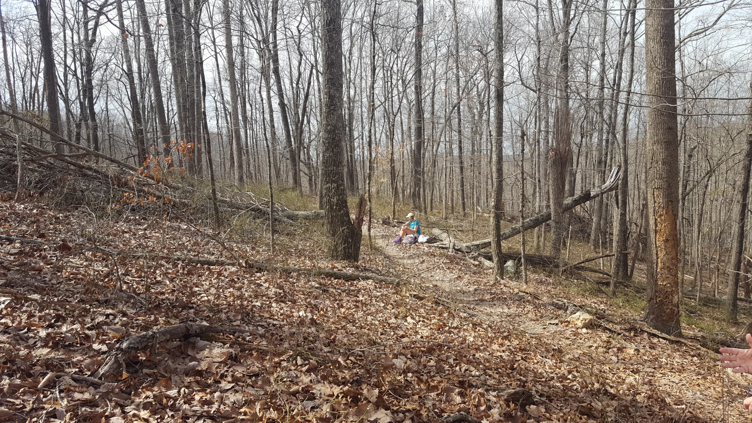
Distance: 3.1 miles.  Rating: Easy to moderate. Stonehenge Trail is a 3.1 mile lightly trafficked out and back trail that features a great forest setting and is good for all skill levels. The trail winds north through woods, crossing a small seasonal creek a couple of times. Volunteers built two bridges to make it easier […]

TTA Plateau Chapter Meeting, Crossville, TN.

TTA Plateau Chapter Meeting, Crossville, TN. Speaker Series - Isaac Zuercher - Topic: Mountain Climbing in Nepal at 6pm at First United Methodist Church Annex, 69 Neecham St, Crossville, TN. RSVP to John Martin, speaker series coordinator, at jr.dmartin77@gmail.com if interested in attending the speaker portion and/or the meeting. Please be in your seat by […]

Walk in the Woods Centennial Park

Distance: 1.1 miles. Rating: Easy This trail is great for road biking, running, and walking, and it's unlikely you'll encounter many other people while exploring. This trail is paved and lighted. The best times to visit this trail are September through October. MEET AT: 837 Industrial Boulevard Crossville, TN. Bring water, bug spray, sunscreen and […]

BSFNRA Angel Falls Overlook Trail, Oneida, TN

Joint hike with Upper Cumberland Chapter. Today’s hike will be in two parts.  First, we will do the Angel Falls Overlook in Big South Fork Park for a total of 3-4 miles round-trip.  We will meet at Cracker Barrel’s in Crossville at 7:30 am for those who are car pulling.  If you are meeting us […]

Savage Gulf South Trailhead to Suter Falls and Horsepound Falls

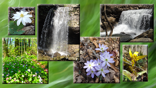
Moderate-difficult, due to rocky trail is 5.2 miles out and back. This hike has a lot to offer: Rocky Mountain Creek rockhouse, two awesome waterfalls, sinks, early spring wildflowers, a water-carved canyon, sandstone overlooks and the Collins River. Carpool cost is $7. Sturdy hiking boots and hiking sticks are recommended. Bring lunch, snacks, (electrolytes) water, […]

Walk in the Woods Woodlawn Loop Trail

Distance: 1.2 miles (loop). Rating: Easy Explore this 1.2-mile loop trail near Crossville, Tennessee. Generally considered an easy route. This trail is great for hiking, running, and walking, and it's unlikely you'll encounter many other people while exploring.    MEET AT: the Trailhead on Wyatt Court, off Woodlawn Rd.  (Close to Buc-ee’s) Bring water, bug […]

Picket State Park, Pogue Creek with the Ranger, Jamestown, TN.

This will be off trail. Difficultly level: Hard and strenuous. Hike will be around the mesas on Pogue Creek. Total distance is 4 miles, however, it's a hard 4 miles with rocky terrain and steep slopes. Total estimated hike time is 4-6 hours. It will have impressive sandstone rock formations. The Rangers have never taken […]

polygon(703 1, 703 1, 695 1, 694 4, 676 5, 668 5, 664 5, 638 7, 638 7, 620 8, 608 8, 567 10, 567 10, 551 10, 551 10, 530 12, 525 13, 525 13, 505 13, 503 13, 460 13, 459 13, 444 13, 419 12, 419 12, 417 12, 406 13, 377 13, 361 13, 343 12, 343 12, 326 11, 313 13, 297 12, 272 12, 268 12, 268 12, 250 13, 225 13, 220 13, 207 13, 207 10, 194 9, 189 9, 191 28, 155 27, 153 27, 128 26, 126 26, 84 26, 78 26, 73 26, 68 26, 68 43, 60 58, 60 58, 51 77, 55 87, 52 87, 51 87, 49 88, 49 88, 48 88, 40 103, 35 125, 15 135, 20 141, 20 141, 20 142, 21 166, 21 166, 21 166, 20 168, 10 174, 2 176, 0 179, 0 180, 50 182, 56 182, 81 182, 94 183, 94 183, 109 183, 125 183, 128 183, 162 183, 164 183, 178 183, 196 182, 196 182, 227 183, 260 183, 261 183, 292 184, 296 184, 336 183, 336 183, 374 183, 396 183, 407 183, 416 183, 424 182, 448 181, 448 181, 462 181, 465 181, 465 181, 478 180, 503 180, 505 157, 512 152, 521 152, 525 150, 527 147, 532 129, 532 129, 533 130, 556 117, 556 117, 557 117, 558 118, 570 117, 571 117, 586 107, 590 103, 590 101, 590 101, 614 91, 618 76, 622 75, 630 69, 635 64, 637 63, 639 62, 640 62, 641 63, 641 63, 642 65, 642 65, 651 70, 657 60, 673 51, 673 51, 685 55, 696 38, 697 36, 698 34, 702 30, 707 28, 707 28, 707 27, 708 29, 710 30, 711 30, 711 30, 713 29, 713 24, 715 3, 718 1)