Promoting the development and enjoyment of Tennessee trails.

- This event has passed.
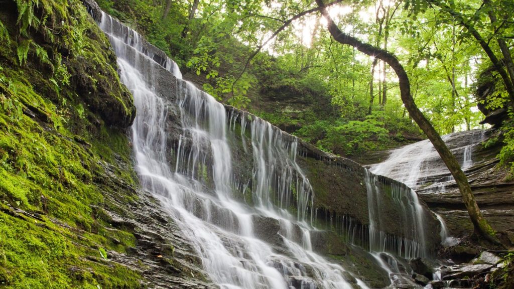
Jackson Falls/Devil’s Backbone/Fall Hollow Falls
July 29, 2023 @ 8:00 am

Jackson Falls is a 900’ concrete trail sloping straight down and returning the same way. Before going to the falls there are several vantage points looking down onto the Duck River and surrounding countryside. Jackson Falls is located at milepost 404.7 on the Natchez Trace. We plan on spending ~one hour here.
Devil’s Backbone State Natural Area is our next destination at milepost 394 on the Natchez Trace approximately ten miles south of Jackson Falls. The Natchez Trace information states that this is a three-mile hike. It may actually be closer to four miles. This is a trail with an in and out leading to a larger loop through trees, hills and a small creek. We traverse ridges going up and down in between them. We should plan 3-4 hours here.
Fall Hollow Falls is our final destination at milepost 391.9 about two miles south of Devil’s Backbone. This area has two waterfalls. One we walk to its top which is back from where a stream falls. This part of the short trail will allow you to a point to see the upper falls. To see the lower falls requires hiking down on a dirt and rock trail. Once you park your car and walk ten feet you begin to hear the upper falls. I propose that we see this scenic area. Some may choose the upper falls only while others may want to visit the lower falls as well. We plan on staying here for one hour.
We will meet at Kroger’s parking lot in Columbia (845 Nashville Hwy – Hwy 31) at 7:00 a.m. on the north side so we can carpool to the Natchez Trace. After the hike, we plan a mid-afternoon lunch at the Junkyard Dog in Hohenwald.
Jackson Falls:
Devil’s Backbone State Natural Area:
Fall Hollow Waterfall:
Hike Leader: Chris Hoffman: chrishoffman51@gmail.com