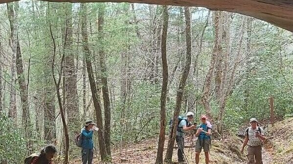
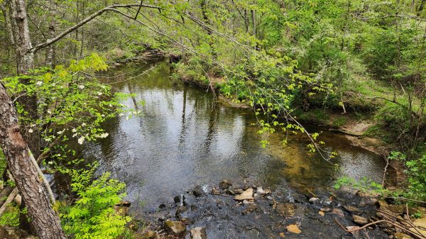
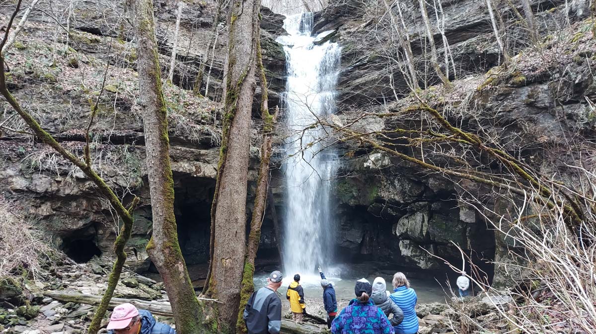
Walk in the Woods CUMBERLAND MOUNTAIN STATE PARK: Byrd Creek Trail

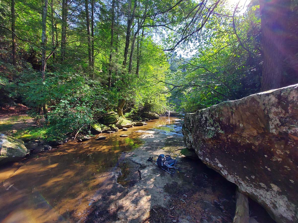
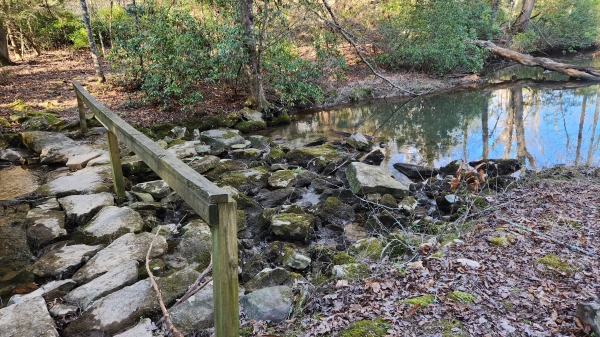
Distance: 2.00 miles.  Rating: Easy to Moderate This trail follows along the banks of Byrd Creek for the entirety of the hike. At approximately one and a half miles hikers will come to the red and yellow junction. From here you should follow the red trail back to the CCC dam, then walk across the […]
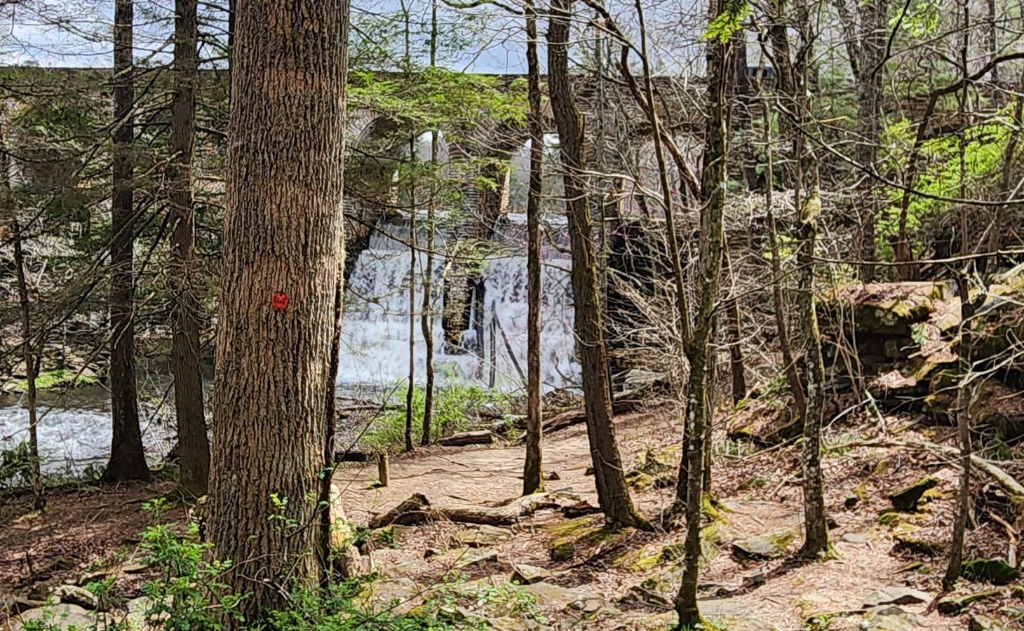
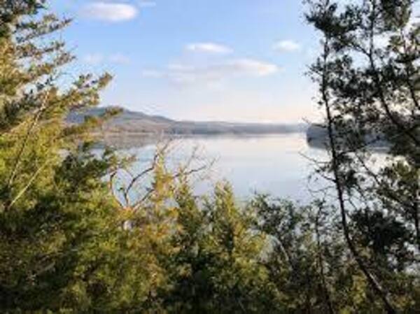
Bearwaller Gap, Cordell Hull Lake, Byrdstown, TN

Long Hike: 6.5 miles moderate to difficult thru hike. Requires a car shuttle. Short Hike: 4 mi moderate with a short strenuous climb out and back. The trail offers panoramic overlook views of the lake; many diverse species of wildflowers (in season) and native wildlife; and breathtaking scenery. The secluded trail runs 6.5 miles between […]

Walk in the Woods THE CROSSVILLE GREENWAY: Habitat Trail

Distance: 2.1 miles.  Rating: Easy                                     This trail opened in July 2022.  This is an easy lollypop trail along the Obed River. MEET AT: The trail-head parking lot on Deerfield Road by Spiders Branch. The trail starts across the road from the parking lot.   Bring water, bug spray, sunscreen and a snack.  Persons 18 and over, members and non-members […]

Cumberland Cove – Icy Cove Trail, Monterey, TN

Joint hike with Upper Cumberland Chapter. Hike is 5 miles total rated moderate to strenuous. Meet hike leader, Sheila, at the Cove Deli & Market 15454 Hwy 70 N, Monterey, TN. We’ll eat lunch at the Long Road Cafe in Mayland. Depart 8:00 am CDST from the outer parking lot of Harbor Freight, 145 Highland […]

Walk in the Woods PLEASANT HILL: Lake Alice Trail

Distance: 1.5 miles & 0.3 miles.  Rating: Easy This is a nice walk through the woods with lake views.  From the parking lot on West Lake Road, we will walk up Yonside Drive to the Lake Alice Trail kiosk is.  Follow the trail markers in a clockwise direction around Lake Alice until it ends at West Lake […]

CT Upper Piney River Spring City, TN.

Wednesday November 6 - CT Upper Piney River, Spring City, TN. Joint hike with Upper Cumberland Chapter. We'll start on the southern end of the newly opened Upper Piney Section and hike North. Long Hike: Choice of in/out 8 mi total or 12 mi thru hike to Shut-in Gap Road. Both are strenuous/difficult due to […]

Walls of Jericho, Bear Hollow Mountain Winchester, TN.

Saturday November 9 - Walls of Jericho. Bear Hollow Mountain Wildlife Management Area on the west side of Winchester. Joint hike with Upper Cumberland Chapter. Long Hike: 8 miles rated strenuous due to rocky terrain and elevation. A short vehicle shuttle is necessary. Short Hike: 5 miles in/out moderate to strenuous. This gorge straddles the […]

Walk in the Woods CUMBERLAND MOUNTAIN STATE PARK: Byrd Creek Trail

Distance: 2.00 miles.  Rating: Easy to Moderate This trail follows along the banks of Byrd Creek for the entirety of the hike. At approximately one and a half miles hikers will come to the red and yellow junction. From here you should follow the red trail back to the CCC dam, then walk across the […]
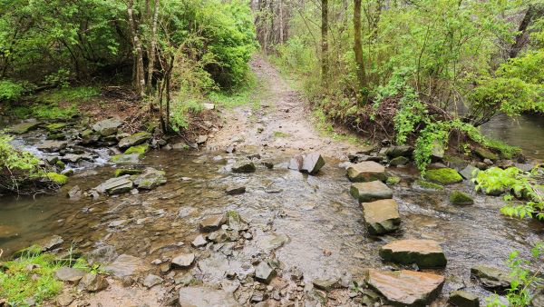
Devil’s Den & Eye of the Needle, BSFNRA Oneida, TN.

Wednesday November 13 - BSFNRA Devil’s Den and Eye of the Needle, Oneida, TN. Joint hike with Upper Cumberland Chapter. Long Hike: 10+ miles round trip. Leatherwood Ford Parking Area to O&W bridge, then some elevation gain to Devil's Den (large rock shelter), and on to Eye of the Needle. The latter is a cave-like […]

Plateau Chapter Meeting, Crossville, TN

Plateau Chapter Meeting, Crossville, TN. 6pm at First Methodist Church Annex, 69 Neecham St, Crossville, TN.Contact Chairperson Bill Wisniewski, 931-335-9360.

Walk in the Woods: Obed River Park

Distance: 1.2 miles.  Rating: Easy Established in 1982. Offers 2.1 miles of paved walking trails, much of which is along the banks of the scenic Wild Obed River!  Approximately 35 acres located off HWY 70 West, just past the entrance to the Cumberland County Community Complex.  While exploring the park, be on the lookout for […]

Dog Cove Lost Creek, Sparta, TN.

Wednesday November 20 - Dog Cove, Sparta, TN. Joint hike with Upper Cumberland Chapter. SHORT HIKE: easy 4 mile in/out hike to a circa 1800s farm home following alongside Lost Creek and crossing the creek a couple of times. LONG HIKE: Short Hike plus 1 mile strenuous side loop trail to an arch. We'll stop […]

polygon(703 1, 703 1, 695 1, 694 4, 676 5, 668 5, 664 5, 638 7, 638 7, 620 8, 608 8, 567 10, 567 10, 551 10, 551 10, 530 12, 525 13, 525 13, 505 13, 503 13, 460 13, 459 13, 444 13, 419 12, 419 12, 417 12, 406 13, 377 13, 361 13, 343 12, 343 12, 326 11, 313 13, 297 12, 272 12, 268 12, 268 12, 250 13, 225 13, 220 13, 207 13, 207 10, 194 9, 189 9, 191 28, 155 27, 153 27, 128 26, 126 26, 84 26, 78 26, 73 26, 68 26, 68 43, 60 58, 60 58, 51 77, 55 87, 52 87, 51 87, 49 88, 49 88, 48 88, 40 103, 35 125, 15 135, 20 141, 20 141, 20 142, 21 166, 21 166, 21 166, 20 168, 10 174, 2 176, 0 179, 0 180, 50 182, 56 182, 81 182, 94 183, 94 183, 109 183, 125 183, 128 183, 162 183, 164 183, 178 183, 196 182, 196 182, 227 183, 260 183, 261 183, 292 184, 296 184, 336 183, 336 183, 374 183, 396 183, 407 183, 416 183, 424 182, 448 181, 448 181, 462 181, 465 181, 465 181, 478 180, 503 180, 505 157, 512 152, 521 152, 525 150, 527 147, 532 129, 532 129, 533 130, 556 117, 556 117, 557 117, 558 118, 570 117, 571 117, 586 107, 590 103, 590 101, 590 101, 614 91, 618 76, 622 75, 630 69, 635 64, 637 63, 639 62, 640 62, 641 63, 641 63, 642 65, 642 65, 651 70, 657 60, 673 51, 673 51, 685 55, 696 38, 697 36, 698 34, 702 30, 707 28, 707 28, 707 27, 708 29, 710 30, 711 30, 711 30, 713 29, 713 24, 715 3, 718 1)