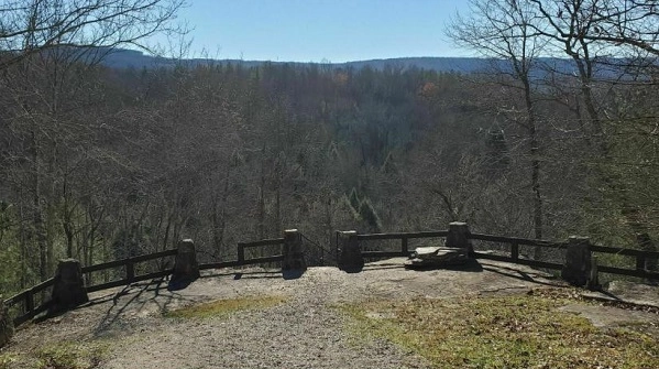
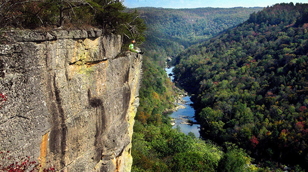
BSFNRA Angel Falls Overlook Trail, Oneida, TN

Joint hike with Upper Cumberland Chapter. Today’s hike will be in two parts.  First, we will do the Angel Falls Overlook in Big South Fork Park for a total of 3-4 miles round-trip.  We will meet at Cracker Barrel’s in Crossville at 7:30 am for those who are car pulling.  If you are meeting us […]
Savage Gulf South Trailhead to Suter Falls and Horsepound Falls

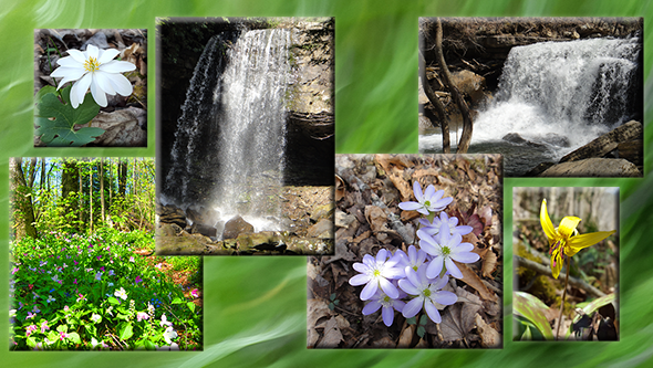
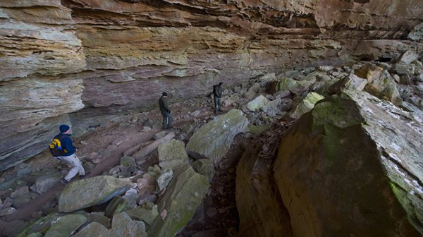
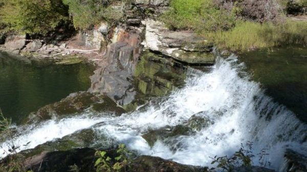
Moderate-difficult, due to rocky trail is 5.2 miles out and back. This hike has a lot to offer: Rocky Mountain Creek rockhouse, two awesome waterfalls, sinks, early spring wildflowers, a water-carved canyon, sandstone overlooks and the Collins River. Carpool cost is $7. Sturdy hiking boots and hiking sticks are recommended. Bring lunch, snacks, (electrolytes) water, […]

Walk in the Woods Woodlawn Loop Trail

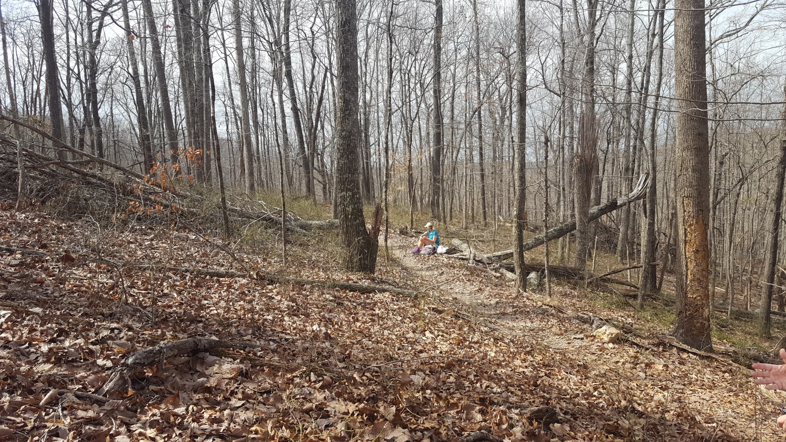
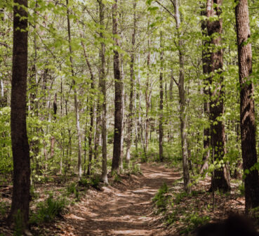
Distance: 1.2 miles (loop). Rating: Easy Explore this 1.2-mile loop trail near Crossville, Tennessee. Generally considered an easy route. This trail is great for hiking, running, and walking, and it's unlikely you'll encounter many other people while exploring.    MEET AT: the Trailhead on Wyatt Court, off Woodlawn Rd.  (Close to Buc-ee’s) Bring water, bug […]

Picket State Park, Pogue Creek with the Ranger, Jamestown, TN.

This will be off trail. Difficultly level: Hard and strenuous. Hike will be around the mesas on Pogue Creek. Total distance is 4 miles, however, it's a hard 4 miles with rocky terrain and steep slopes. Total estimated hike time is 4-6 hours. It will have impressive sandstone rock formations. The Rangers have never taken […]

CANCELED-Stone Fort & Machine Falls Loops.

This will be two hikes. The first hike is a 2.8-mile moderate loop on the enclosure, moat and backbone trails. After a 20-minute drive to Short Springs Natural Area the second hike is a 3.1 mile moderate loop to Machine, Adams, Busby, Falls and Laurel Bluff. Old Stone Fort was a Native American ceremonial gathering […]

Walk in the Woods Fairfield Glade: Windsor Bluff Overlook

Distance: 1.6 miles. Rating: Easy The Overlook Trail is a local hiker's favorite and a gem for the Fairfield Glade area. For those wanting a quick and enjoyable reset in nature this is a great trail. It's recommended to complete the look clockwise to have a mostly flat/downhill hike until the final stretch of climbing […]

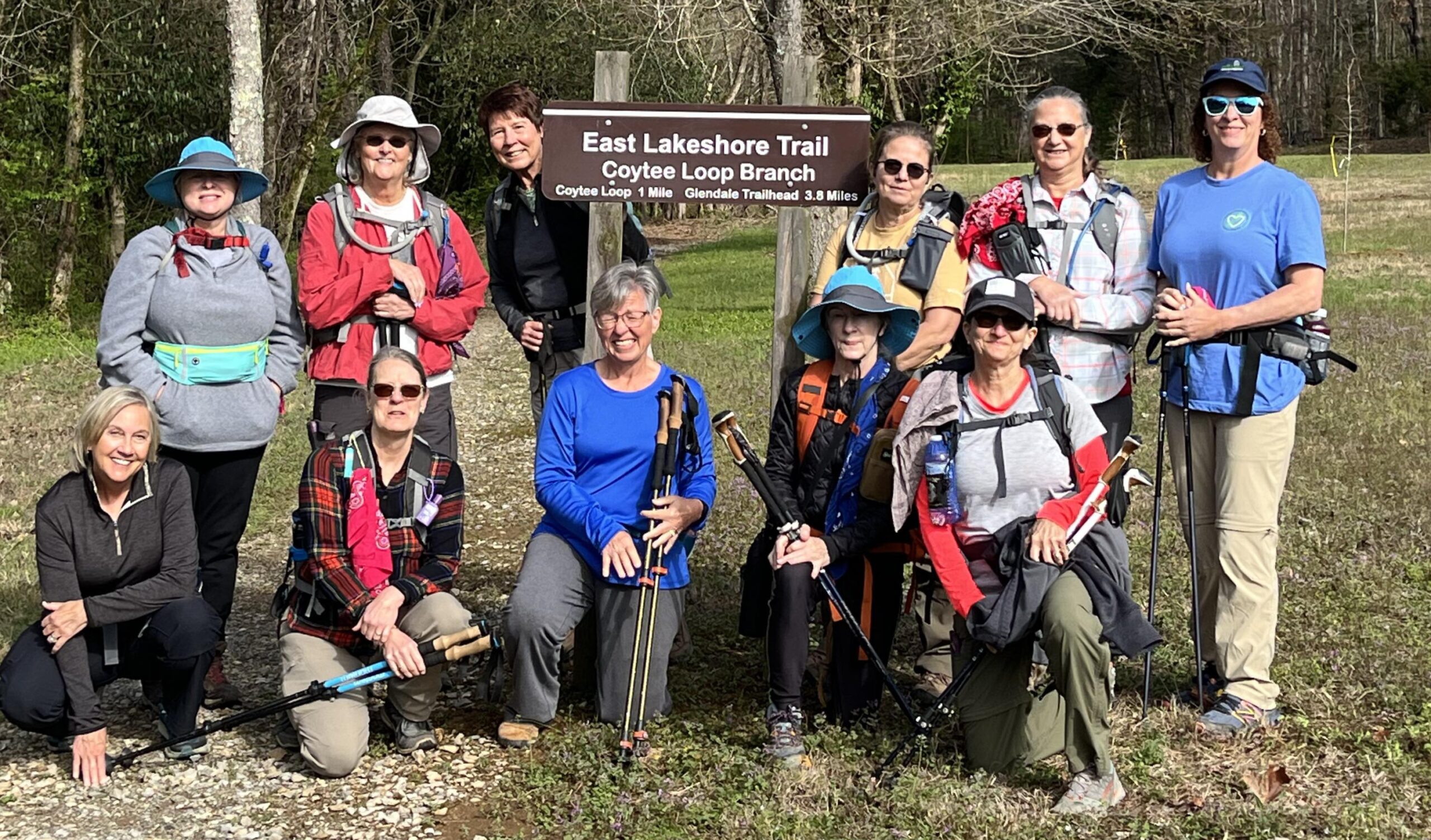
East Lakeshore Trail, Greenback, TN.

Joint hike with Upper Cumberland Chapter. Long Hike: East shore of Tellico from Lotterdale branch to Coytee 8.4 miles. Short hike to Stinging Creek 4.4 miles. Both long or short are easy to moderate miles with shuttle. WARNING LOTS OF POISON IVY. OPTION TO EAT AT LOCAL RESTAURANT. Carpool cost is $7. Sturdy hiking boots […]

Walk in the Woods: Kirkstone Trail            

Distance: 2.0 miles (loop). Rating: Moderate The Kirkstone Trail is a moderate trail and approximately a 2.0 mile loop hiking trail along gravel roads. The trailhead is at the junction of Marmaduke and Christopher a little way up the hill from the spillway on Lake Kirkstone. The route is marked with yellow stakes and directional […]

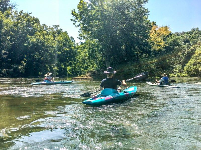
CANCELED RIVER IS FLOODED Kayak Float trip, Mcminnville, TN

This is an EASY beginner friendly place to kayak.Please make your own reservation online - https://smoothrapids.com or call 931- 452-9251 They offer different float lengths to suit your needs and they have a great restaurant (see menu online) on the river too!Trip choices Short-#1 or Long-#2 #1-Pepper Branch Park to Smooth Rapids- Barren Fork River […]

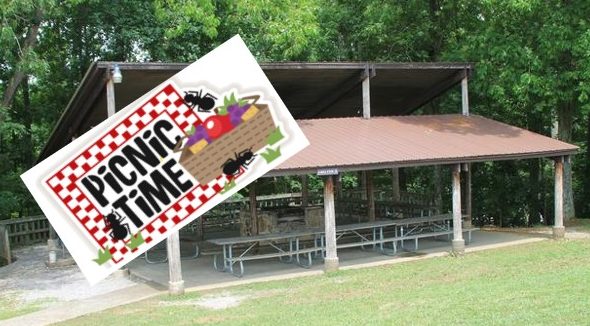
Plateau Chapter Spring Picnic at Meadow Park Lake, Crossville, TN.

Picnic starts at 5 pm. Hike the newest park Trail first at 4:00 pm. Bring a side dish or dessert to share, and your own drinks and meat to grill. The Chapter will supply the charcoal, plates and plasticware. If you'd like to support the CTC trail building effort, here is a list of items […]

Walk in the woods FAIRFIELD GLADE: Thornhill Trail

Distance: 2.0 miles.  Rating: Easy The trail starts by carefully crossing Westchester Drive onto Thornhill Lane. Most of the trail is on gravel/grassy roads that are unsigned so follow the trail posts and signs. It is worth taking a short detour on the dam of Lake Malvern to admire the view. The trail consists of flat roads […]

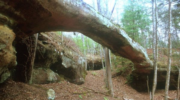
Big South Fork, Sheltowee Trace to Parker MT to Buffalo Arch, KY.

Joint hike with Upper Cumberland Chapter. Gorgeous trail, lots of lady slippers. Fairly easy for a 9 mi hike starting from the SheltoweeTrace where it crosses Divide Rd (park on side of road). SHORT HIKE: 4.4 moderate in/out miles to the Rock Creek crossing. LONG HIKE: 9 mi moderate hike to Buffalo Arch and back. […]

polygon(703 1, 703 1, 695 1, 694 4, 676 5, 668 5, 664 5, 638 7, 638 7, 620 8, 608 8, 567 10, 567 10, 551 10, 551 10, 530 12, 525 13, 525 13, 505 13, 503 13, 460 13, 459 13, 444 13, 419 12, 419 12, 417 12, 406 13, 377 13, 361 13, 343 12, 343 12, 326 11, 313 13, 297 12, 272 12, 268 12, 268 12, 250 13, 225 13, 220 13, 207 13, 207 10, 194 9, 189 9, 191 28, 155 27, 153 27, 128 26, 126 26, 84 26, 78 26, 73 26, 68 26, 68 43, 60 58, 60 58, 51 77, 55 87, 52 87, 51 87, 49 88, 49 88, 48 88, 40 103, 35 125, 15 135, 20 141, 20 141, 20 142, 21 166, 21 166, 21 166, 20 168, 10 174, 2 176, 0 179, 0 180, 50 182, 56 182, 81 182, 94 183, 94 183, 109 183, 125 183, 128 183, 162 183, 164 183, 178 183, 196 182, 196 182, 227 183, 260 183, 261 183, 292 184, 296 184, 336 183, 336 183, 374 183, 396 183, 407 183, 416 183, 424 182, 448 181, 448 181, 462 181, 465 181, 465 181, 478 180, 503 180, 505 157, 512 152, 521 152, 525 150, 527 147, 532 129, 532 129, 533 130, 556 117, 556 117, 557 117, 558 118, 570 117, 571 117, 586 107, 590 103, 590 101, 590 101, 614 91, 618 76, 622 75, 630 69, 635 64, 637 63, 639 62, 640 62, 641 63, 641 63, 642 65, 642 65, 651 70, 657 60, 673 51, 673 51, 685 55, 696 38, 697 36, 698 34, 702 30, 707 28, 707 28, 707 27, 708 29, 710 30, 711 30, 711 30, 713 29, 713 24, 715 3, 718 1)