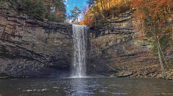
Foster Falls

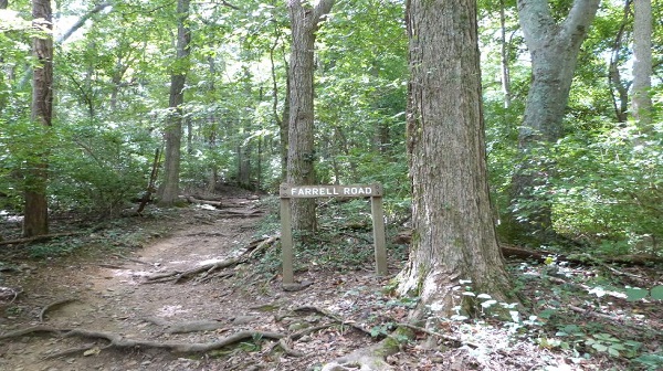
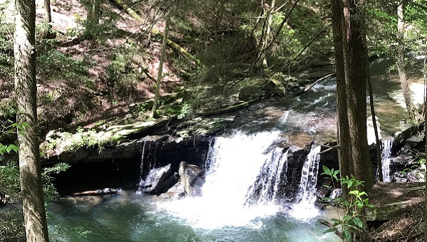
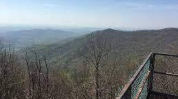
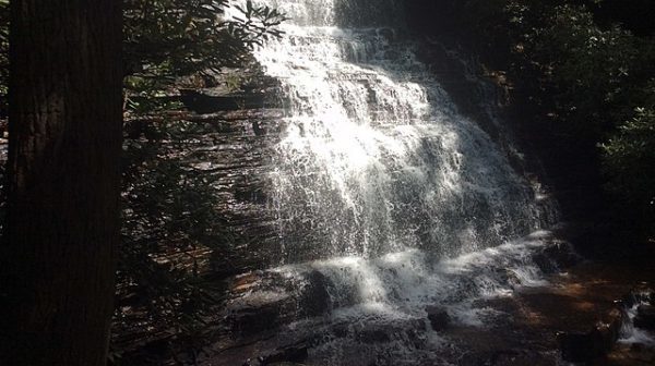
Tuesday, August 27 — South Cumberland State Park: Foster Falls to Small Wilds Campground, 5 miles out-and-back, flat, easy to moderate. On this hike we will enjoy two overlooks of Foster Falls and many cool overlooks of Fiery Gizzard Cove. Check the weather forecast within a day of the hike, as earlier forecasts often change dramatically. Wear hiking […]
Prentice Cooper SF

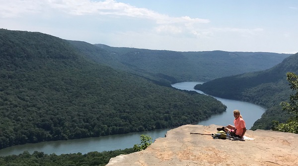
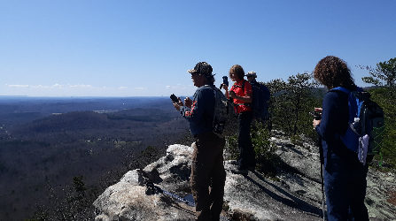
Saturday, August 31 — Prentice Cooper State Forest: Indian Rockhouse to Lawson Rock, 6.4 miles in & out, moderate. Near Chattanooga. Stone steps lead down to the Rockhouse, then wind around rocky bluffs to a spectacular view of Suck Creek gorge and the Tennessee River. Check the weather forecast within a day of the hike, as earlier […]

Aetna Mountain

Tuesday, September 3 — Aetna Mountain Green and Blue Loops, near Chattanooga, easy/moderate, about 3.5 miles, about 500’ el. gain. These are two relatively new trails on Aetna Mountain, which is next to Raccoon Mountain. The trails are in very good condition, with very few rocks and roots and with gradual ascents and descents. They take […]

Reflection Riding MODIFIED

Saturday, September 7 — Reflection Riding, just outside Chattanooga: Skyuka Trail to Skyuka Spring and back via Lower Truck Trail and Skyuka Trail, 9 miles, moderate with one fairly steep uphill. Optional shorter hike involving a shuttle: hang out with the long hikers for most of the hike, then follow Lower Truck Trail straight to […]

Grundy Forest

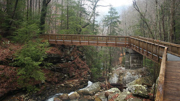
Tuesday, September 10 — Grundy Forest Day Loop and Sycamore Falls, near Monteagle, 3.5 miles, moderate, 308 ft. el. gain. A huge rock house, an ancient hemlock tree believed to be 500 years old, four waterfalls, giant rock monoliths, and swimming holes—you will see it all in just 3.5 miles. If water levels allow, take a […]

Ritchie Hollow

Saturday, September 14 — Ritchie Hollow to Snoopers Rock in Prentice Cooper State Forest. A 10-mile in and out hike moderately strenuous due to rocks and nearly 1500’ el. gain. Starting at the TN River, we will hike up to Blowing Wind falls, then continue ascending along the bluff ridge to the outstanding Snoopers Rock overlook […]

Raccoon Mountain Hike

Tuesday, September 17 — Raccoon Mountain trails, 4-5 miles, easy/moderate, mostly a loop, not much elevation gain. Just west of Chattanooga, the Raccoon Mountain pumped-storage facility is TVA’s largest hydroelectric facility. In operation since 1978, the plant acts as a large storage battery! (https://www.tva.gov/Energy/Our-Power-System/Hydroelectric/Raccoon-Mountain). Check the hourly weather forecast within a day of the hike, as earlier forecasts can […]

Frozen Head State Park

Saturday, September 21 — Frozen Head State Park, 9 miles, moderate, 1500-2000’ el. gain, out-and-back. Join us for a beautiful hike and learn some of the park’s fascinating history, including a prison break by one of America’s most notorious killers and an ultramarathon inspired by the manhunt! On this hike, we will see two waterfalls and […]

Benton Falls

Tuesday, September 24 — Benton Falls and Slick Rock Loop Trail, 4.6 miles, easy to moderate, loop, 544’ el. gain. On Chilhowee Mountain near the Ocoee River, we’ll start by McKamy Lake and proceed about 1.5 miles down to Benton Falls, where we will make a steep but short descent into the small gulch formed […]

Rocky Ridge Trail

Saturday, September 28 — Rocky Face Ridge Trail, near Dalton GA. SHORTER HIKE: up the ridge on switchbacks, then along the ridge to Buzzard’s Roost, out-and-back, about 6 miles, moderate, el. gain less than 1,000’. LONGER HIKE: loop trail including Buzzard’s Roost, 11 miles, moderately strenuous, el. gain 1,318’. Rocky Face Ridge Park is an almost […]

Window Cliffs REPLACED w/ WEST RIM

Tuesday, October 1 — Window Cliffs Trail REPLACED due to wet and muddy conditions. REPLACEMENT: West Rim Trail, Cloudland Canyon State Park GA near Trenton, 4.7 miles, 744’ el. gain with a few short steep climbs, moderate. The path of Hurricane Helene veered mostly east of us, so the park is open. The weather will […]

Cherokee National Forest

Saturday, October 5 — Brush Creek Trail in the Cherokee National Forest, 7 miles, easy to moderate. We’ll start at Boyd Gap, with views of Big Frog Mountain and the shores of Ocoee Lake. Check the weather forecast within a day of the hike, as earlier forecasts can change dramatically. Choose appropriate layers; wear hiking shoes or […]

polygon(703 1, 703 1, 695 1, 694 4, 676 5, 668 5, 664 5, 638 7, 638 7, 620 8, 608 8, 567 10, 567 10, 551 10, 551 10, 530 12, 525 13, 525 13, 505 13, 503 13, 460 13, 459 13, 444 13, 419 12, 419 12, 417 12, 406 13, 377 13, 361 13, 343 12, 343 12, 326 11, 313 13, 297 12, 272 12, 268 12, 268 12, 250 13, 225 13, 220 13, 207 13, 207 10, 194 9, 189 9, 191 28, 155 27, 153 27, 128 26, 126 26, 84 26, 78 26, 73 26, 68 26, 68 43, 60 58, 60 58, 51 77, 55 87, 52 87, 51 87, 49 88, 49 88, 48 88, 40 103, 35 125, 15 135, 20 141, 20 141, 20 142, 21 166, 21 166, 21 166, 20 168, 10 174, 2 176, 0 179, 0 180, 50 182, 56 182, 81 182, 94 183, 94 183, 109 183, 125 183, 128 183, 162 183, 164 183, 178 183, 196 182, 196 182, 227 183, 260 183, 261 183, 292 184, 296 184, 336 183, 336 183, 374 183, 396 183, 407 183, 416 183, 424 182, 448 181, 448 181, 462 181, 465 181, 465 181, 478 180, 503 180, 505 157, 512 152, 521 152, 525 150, 527 147, 532 129, 532 129, 533 130, 556 117, 556 117, 557 117, 558 118, 570 117, 571 117, 586 107, 590 103, 590 101, 590 101, 614 91, 618 76, 622 75, 630 69, 635 64, 637 63, 639 62, 640 62, 641 63, 641 63, 642 65, 642 65, 651 70, 657 60, 673 51, 673 51, 685 55, 696 38, 697 36, 698 34, 702 30, 707 28, 707 28, 707 27, 708 29, 710 30, 711 30, 711 30, 713 29, 713 24, 715 3, 718 1)