Big Creek Gulf CANCELLED – RAIN

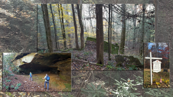
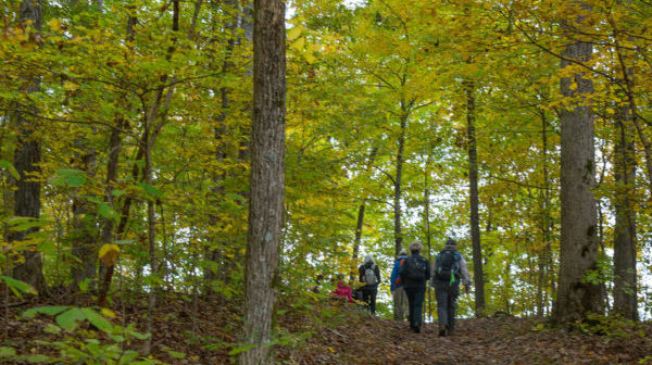
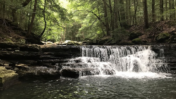
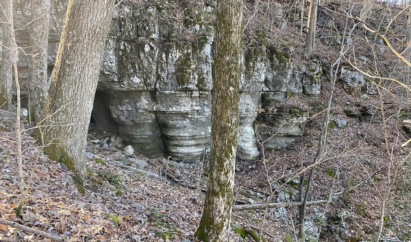
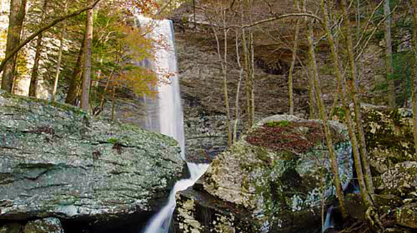
South Cumberland State Park: Big Creek Loop. 9.9 miles, strenuous due to descent into and ascent out of Big Creek Gulf, 1,620’ elevation gain. We will make a loop using Greeter Trail, Big Creek Gulf Trail, connector trail, and Big Creek Rim trail. Cliffs, creeks, waterfalls, vistas! Check the forecast and choose appropriate layers, wear […]
Goforth Creek and Scenic Spur

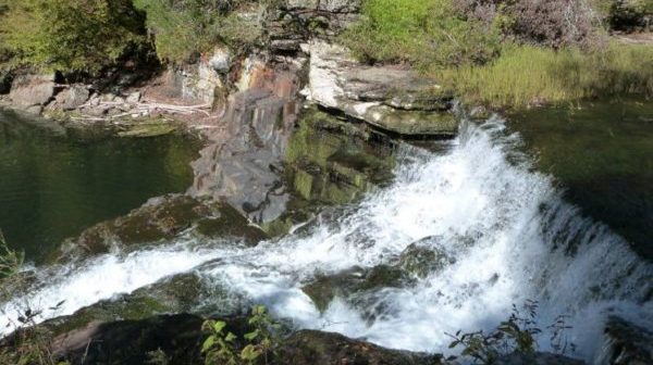
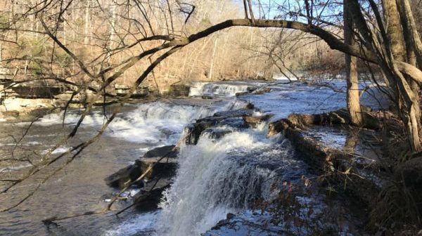
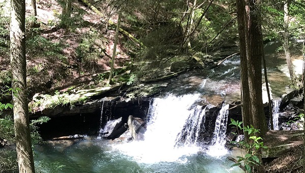
Tuesday, February 13 — Goforth Creek Trail and Scenic Spur Trail, 4 miles or so, moderate, out-and-back. Goforth Creek is a crazy little whitewater creek that jumps over huge boulders before it settles down for 50 feet and flows quietly into the Ocoee River. We’ll walk along this creek for a little way to admire the […]

CT: Retro-Hughes to Leggett Road

Saturday, February 17 — Cumberland trail: Retro-Hughes Road to Leggett Road, with a shuttle. Longer option: 8-9 miles, moderate, about 1000’ el. gain. Shorter option: 5.4 miles, moderate. We all start at the Retro-Hughes trailhead of the CT, traverse through a lovely pine forest, climb up a wooden ladder, and descend rock stairs into the impressive […]

Greenway Farm

Tuesday, February 20 — Greenway Farm in Hixson TN, 4.7 miles, easy. We will combine the paved and graveled main trail with the dirt trail that borders North Chickamauga Creek. Check the weather forecast and choose appropriate layers; wear hiking shoes or boots; bring water, snacks and/or lunch; gather up hiking poles, rain jacket, and sunscreen as needed. Meet […]

Turtletown Falls/Coker Creek Falls

Saturday, February 24 — SHORTER HIKE: Turtletown Falls Trail, 5.2 miles, 730’ el. gain, lollypop, moderate. LONGER HIKE: After the Turtletown Falls hike, drive to Coker Creek Falls Trail for an out-and-back hike, for a total of 9.9 miles, 1320’ el. gain, moderate/strenuous. Turtletown Falls Trail is well maintained, winds through a beautiful forest, and […]

Little Cedar Mountain

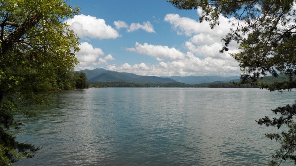
Tuesday, March 19 — Little Cedar Mountain Trail, in a TVA Small Wild Area, off TVA Road near Jasper, TN. 3.2 miles, loop, easy, 400 ft’ el. gain. This trail hugs the western shoreline of Nickajack Lake (aka Tennessee River) at the tail-end of Walden Ridge, where it breaks up in the Tennessee River Gorge […]

Harrison Bay State Park

Tuesday, February 27 — Bay Point Loop Trail in Harrison Bay State Park, easy, about 4.3 miles, 124’ el. gain.  Enjoy awesome views of the bay as we meander through the woods. Hopefully we will see wildlife, possibly even some deer. Check the weather forecast and choose appropriate layers; wear hiking shoes or boots; bring water, snacks and/or lunch; […]

Graysville Mountain

Saturday, March 2 — Graysville Mountain, 9 miles, moderate with rocky terrain, 900’ el. gain. Shuttle required. On this section of the Cumberland Trail, we will start at the Roaring Creek Trailhead and travel along the creek before heading up rocky switchbacks to the top of Graysville Mountain, then continue all the way to Hwy 30, […]

Five Points

Tuesday, March 5 — Five Points trails, 4 to 5 miles, loop, easy. Starting at the Escalon trailhead , we will take the Cloudland Canyon Connector Trail northeast into the maze of trails known as Five Points. Assuming we can plow our way through the can-full-of-worms junction of at least seven trails at the center […]

Fall Creek Falls: Prater Place

Saturday, March 9 — Fall Creek Falls State Park: Prater Place/Hemlock Falls, 6 miles, out and back, el. gain 649’, moderate due to some rocky areas and creek crossings. This trail has everything: waterfalls, rock formations, caves, creeks, early spring wildflowers! This is one of the newer Fall Creek Falls State Park trails. It is located […]

Walden’s Ridge Park

Tuesday, March 12 — Walden’s Ridge Park trails, 4 to 5 miles, loops, moderate. This is yet another new set of trails in the Chattanooga area, located on the side of Signal Mountain/Walden Ridge. We will start our hike at the bottom of the ridge, using the trailhead off Mountain Creek Road. We’ll proceed to […]

Laurel-Snow: Laurel Falls & Natural Bridge

Saturday, March 16 — Laurel Snow SNA. Joint hike with the Chattanooga Hiking Club (CHC), two options. LONGER: Laurel Falls and a natural bridge, about 9 miles and 1200’ el. gain, out-and-back, moderate/strenuous. SHORTER: Laurel Falls, 4.7 miles, 708’ el. gain, out-and-back, moderate. We will all start out on the mostly flat trail along Richland […]

polygon(703 1, 703 1, 695 1, 694 4, 676 5, 668 5, 664 5, 638 7, 638 7, 620 8, 608 8, 567 10, 567 10, 551 10, 551 10, 530 12, 525 13, 525 13, 505 13, 503 13, 460 13, 459 13, 444 13, 419 12, 419 12, 417 12, 406 13, 377 13, 361 13, 343 12, 343 12, 326 11, 313 13, 297 12, 272 12, 268 12, 268 12, 250 13, 225 13, 220 13, 207 13, 207 10, 194 9, 189 9, 191 28, 155 27, 153 27, 128 26, 126 26, 84 26, 78 26, 73 26, 68 26, 68 43, 60 58, 60 58, 51 77, 55 87, 52 87, 51 87, 49 88, 49 88, 48 88, 40 103, 35 125, 15 135, 20 141, 20 141, 20 142, 21 166, 21 166, 21 166, 20 168, 10 174, 2 176, 0 179, 0 180, 50 182, 56 182, 81 182, 94 183, 94 183, 109 183, 125 183, 128 183, 162 183, 164 183, 178 183, 196 182, 196 182, 227 183, 260 183, 261 183, 292 184, 296 184, 336 183, 336 183, 374 183, 396 183, 407 183, 416 183, 424 182, 448 181, 448 181, 462 181, 465 181, 465 181, 478 180, 503 180, 505 157, 512 152, 521 152, 525 150, 527 147, 532 129, 532 129, 533 130, 556 117, 556 117, 557 117, 558 118, 570 117, 571 117, 586 107, 590 103, 590 101, 590 101, 614 91, 618 76, 622 75, 630 69, 635 64, 637 63, 639 62, 640 62, 641 63, 641 63, 642 65, 642 65, 651 70, 657 60, 673 51, 673 51, 685 55, 696 38, 697 36, 698 34, 702 30, 707 28, 707 28, 707 27, 708 29, 710 30, 711 30, 711 30, 713 29, 713 24, 715 3, 718 1)