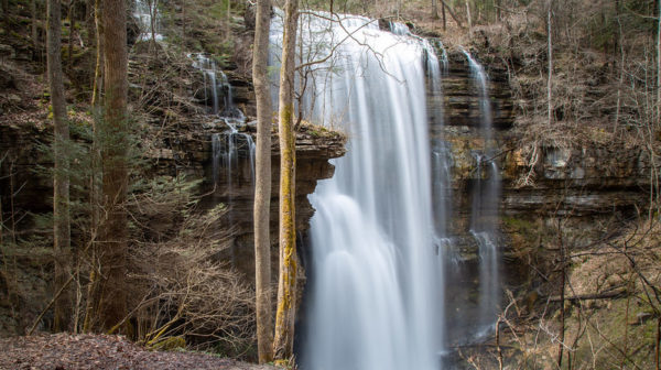
Pogue Creek Canyon SNA  Joint hike with Upper Cumberland Chapter. 

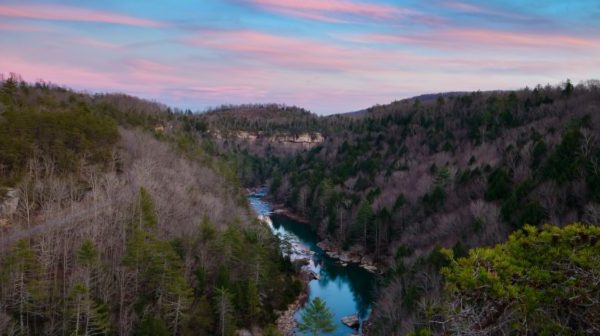
1,463 feet elevation change  4+ mile moderate sometimes strenuous thru hike. Vehicle shuttle required.  We'll start at the Black House Mountain Road Moccasin Rock Trail junction leaving shuttle cars at the Pogue Creek Trailhead. Pogue Creek Canyon features immense sheer bluffs and cliffs, many rock houses and beautiful, rich forests of hemlocks, beech, sycamores, basswood, oaks and hickories.  […]
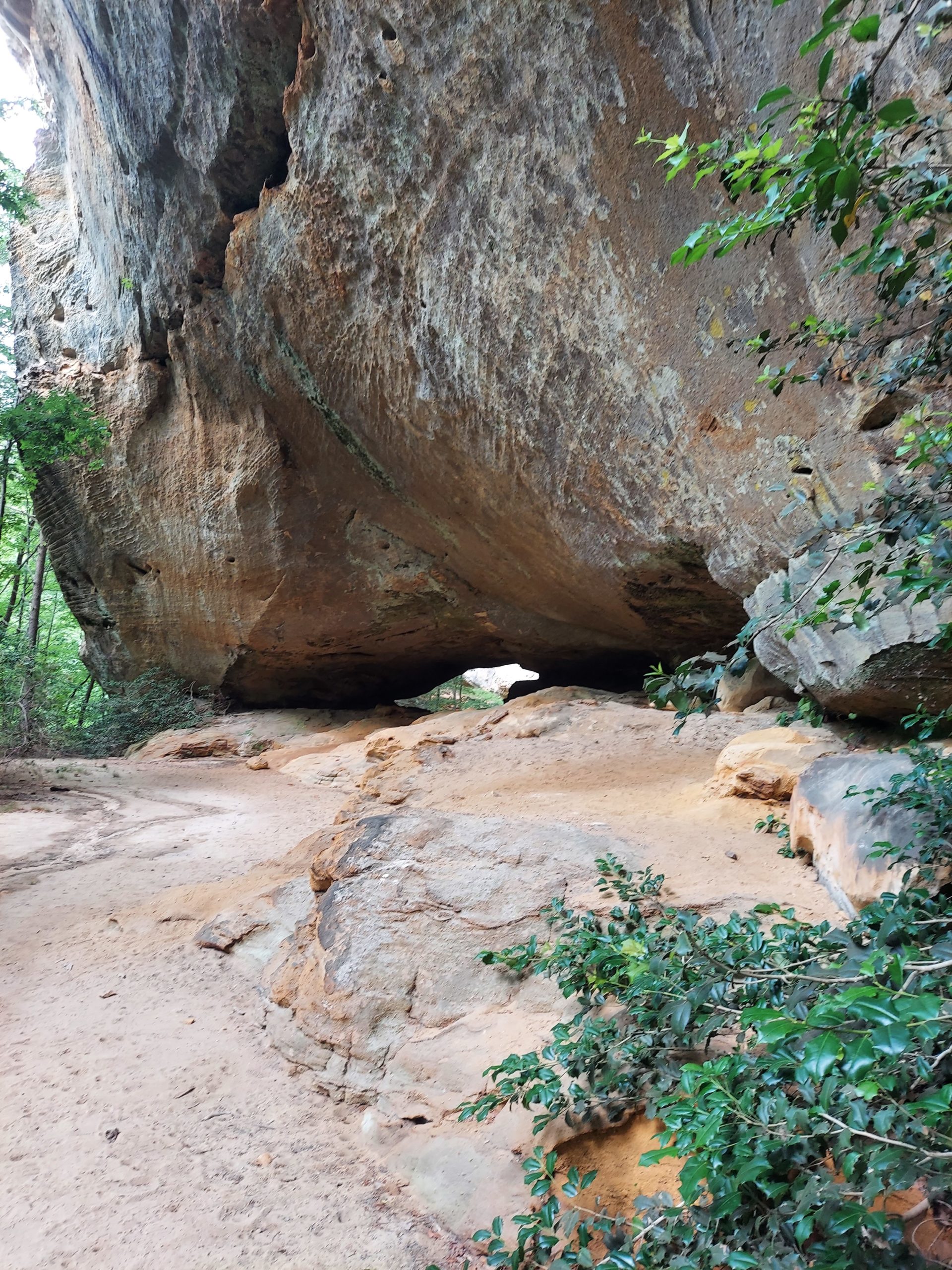
CT Grassy Cove Section. Joint hike with Upper Cumberland Chapter.

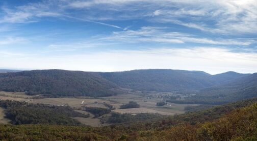
Strenuous out-and-back, 4.8 miles with 1,108’ elevation gain. This trail leads to a stunning overlook of Grassy Cove, a nostalgic scene of rolling farmland, classic barns and grazing cows and sheep, surrounded by protective mountains. Persons 18 and over, members and non-members welcome. Minors must be accompanied by an adult. Depart 8am from Central Baptist […]

Leatherwood Loop / Sunset Overlook, Oneida, TN.

Long Hike: This is a 6 mi hike moderate to strenuous (3/4 mi up on swithbacks) with a variety of scenery, including 3 nice overlooks. Short Hike: 4.8 mi easy out and back to Sunset Overlook plus half the loop. Depart 8:00 am CT from the Crossville Cracker Barrel. Carpool gas cost is $6. Bring […]

Dog Cove, Sparta, TN.

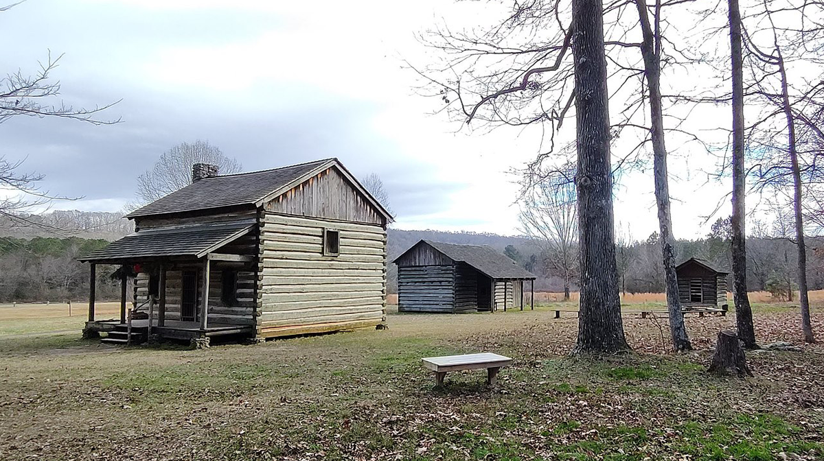
Joint hike with Upper Cumberland Chapter. SHORT HIKE: easy 4 mile in/out hike to a circa 1800s farm home following alongside Lost Creek and crossing the creek a couple of times. LONG HIKE: Short Hike plus 1 mile strenuous side loop trail to an arch. Depart 8:00 am CT from the outer parking lot of […]

Dry Creek Falls Trail: Dog Cove to Lost Creek. Joint hike w Upper Cumberland.

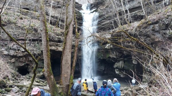
5 mile thu hike to enjoy this newest trail, which was opened April 2021, nice rock formations to spice up the scenery. And the highlight is Dry Creek Falls, which is actually 2 waterfalls. This hike should be considered moderate going this direction because of the elevation changes and the rocky terrain. We will start […]

Pogue Creek Canyon State Natural Area, Jamestown, TN

Pogue Creek Overlook and Upper Canyon Trails. Long Hike: 8 mi 1460’ el. gain, moderate/strenuous. Short Hike: 4-5 mi moderate in and out. Very impressive rock formations, especially Killdeer Arch along with awesome views! Pogue Creek Canyon features immense sheer bluffs and cliffs, the Killdeer Arch, many rock houses and beautiful, rich forests of hemlocks, […]

East Lakeshore Trail Tellico Lake, Lenior City, TN

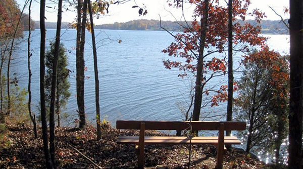
Out and back from Mizell trailhead. Short Hike: up to top and back for 3 moderate mi. Long Hike: continue down to the marina and back for 9.2 moderate mi. Elevation changes are 350' down and 263' up. Hike is along the the Tellico Lake. Depart 8am from Landers Crossing formerly the Crossville Outlet Mall […]

Chapter Meeting: Trail Building Status of the Cumberland Trail

Trail Building Status of the Cumberland Trail.  Speaker, Ranger AnthonyJones, Head of Sequatchie,  at 6 pm CT followed by the business meeting. Patches will be handed out to those who completed the 2023 200 mile Cumberland Trail challenge. United Methodist Church Annex, 69 Neecham St, Crossville, TN.  Meet at Los Margarita's, 72 Woodmere Mall, for […]

BSFNRA Honey Creek, Oneida, TN

Joint hike with Upper Cumberland Chapter. This is one of the best hikes we do, featuring waterfalls, rock houses, and gorge overlooks. BRING WATER SHOES and extra socks JUST IN CASE. Short Hike: 3.5 mile half of the loop exiting the trail at the overlook with a road walk back to the cars. Long Hike: […]

CANCELLED CT Turkey Creek to Devil’s Breakfast Table, Catoosa WMA, Hebbetsburg.

Joint hike with Upper Cumberland Chapter. The trail is difficult due to the elevation change and lots of rock steps.   SHORT HIKE: 4-5 mile in/out hike. From Turkey Creek the trail proceeds along Daddy's Creek gorge bluff under sheer bluffs. The last mile, the trail decends down into the canyon. There are a couple […]

Virgin Falls State Natural Area, Sparta, TN

Short Hike: 5 miles moderate to Big Laurel Falls and back, Long Hike: This is a 9-mile strenuous hike to the 110 foot tall Virgin Falls. The trail descends around 900 foot in elevation along a path that in many areas is rocky with uneven footing. Along the way, we will pass Big Branch Falls, […]

polygon(703 1, 703 1, 695 1, 694 4, 676 5, 668 5, 664 5, 638 7, 638 7, 620 8, 608 8, 567 10, 567 10, 551 10, 551 10, 530 12, 525 13, 525 13, 505 13, 503 13, 460 13, 459 13, 444 13, 419 12, 419 12, 417 12, 406 13, 377 13, 361 13, 343 12, 343 12, 326 11, 313 13, 297 12, 272 12, 268 12, 268 12, 250 13, 225 13, 220 13, 207 13, 207 10, 194 9, 189 9, 191 28, 155 27, 153 27, 128 26, 126 26, 84 26, 78 26, 73 26, 68 26, 68 43, 60 58, 60 58, 51 77, 55 87, 52 87, 51 87, 49 88, 49 88, 48 88, 40 103, 35 125, 15 135, 20 141, 20 141, 20 142, 21 166, 21 166, 21 166, 20 168, 10 174, 2 176, 0 179, 0 180, 50 182, 56 182, 81 182, 94 183, 94 183, 109 183, 125 183, 128 183, 162 183, 164 183, 178 183, 196 182, 196 182, 227 183, 260 183, 261 183, 292 184, 296 184, 336 183, 336 183, 374 183, 396 183, 407 183, 416 183, 424 182, 448 181, 448 181, 462 181, 465 181, 465 181, 478 180, 503 180, 505 157, 512 152, 521 152, 525 150, 527 147, 532 129, 532 129, 533 130, 556 117, 556 117, 557 117, 558 118, 570 117, 571 117, 586 107, 590 103, 590 101, 590 101, 614 91, 618 76, 622 75, 630 69, 635 64, 637 63, 639 62, 640 62, 641 63, 641 63, 642 65, 642 65, 651 70, 657 60, 673 51, 673 51, 685 55, 696 38, 697 36, 698 34, 702 30, 707 28, 707 28, 707 27, 708 29, 710 30, 711 30, 711 30, 713 29, 713 24, 715 3, 718 1)