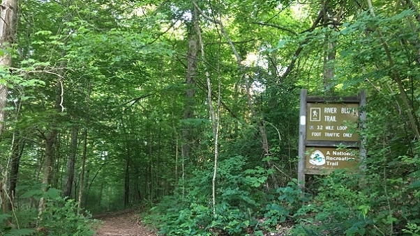
Airport North and South Trails, Crossville, TN.

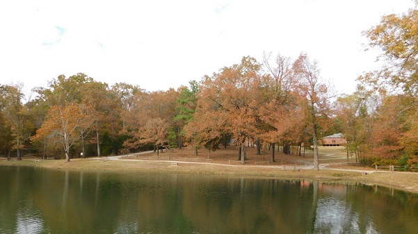
Wednesday - Marathon hike. Both trails are a total of 5 mi easy. The trailhead is off Earl Jones Rd on the West end of the airport runways. Sturdy hiking boots and hiking sticks are recommended. Bring lunch, snacks, (electrolytes) water, bug spray and sunscreen. Persons 18 and over, members and non-members welcome. Minors must […]
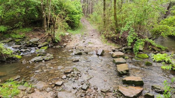
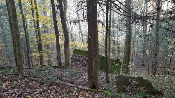
Rock Creek Loop – Big South Fork National River & Recreation Area

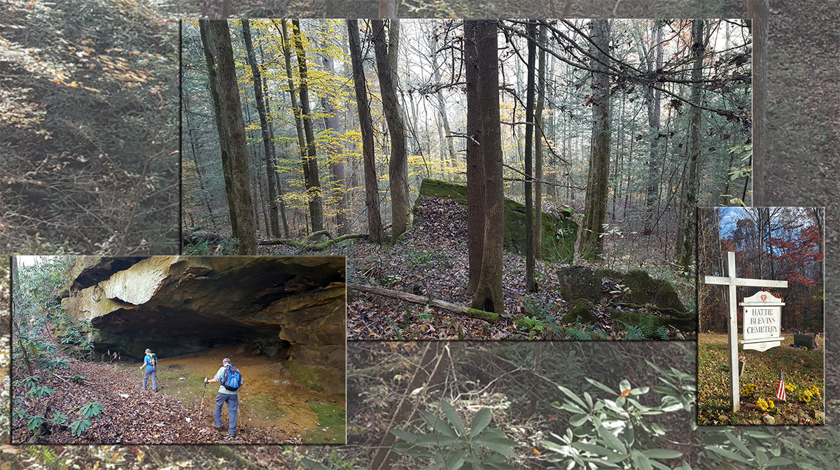
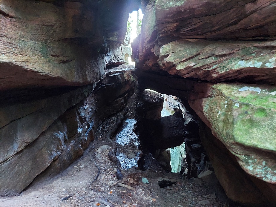
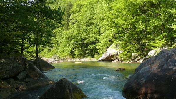
Friday, September 27 – Rock Creek Loop – Big South Fork National River and Recreation Area. Jamestown. 7.5 miles rated moderately strenuous for terrain, elevation change and length. Joint hike with the Highland Rim and Nashville chapters. We’ll descend to the rocky, mossy banks of Massey Branch and Rock Creek, passing below bluffs and along […]

Rock Creek Loop, Big South Fork

Rock Creek Loop - Big South Fork Blevins Cemetary Road, Jamestown, TN, United States

Jamestown, TN 7.5 miles - moderately strenuous for terrain, elevation change and length. Joint hike with the Highland Rim and Murfreesboro Chapters. We’ll descend to the rocky, mossy banks of Massey Branch and Rock Creek, passing below bluffs and along the remains of the Stearns logging railway. Much of the route is shared with the […]

Rock Creek Loop

Friday, September 27 – Rock Creek Loop, Big South Fork, Jamestown, TN – 7.5 miles - moderately strenuous for terrain, elevation change and length. Joint hike with the Nashville and Murfreesboro Chapters. We’ll descend to the rocky, mossy banks of Massey Branch and Rock Creek, passing below bluffs and along the remains of the Stearns […]

Twin Arches Loop, Big South Fork

Twin Arches Loop Twin Arches Lane, Jamestown, TN, United States

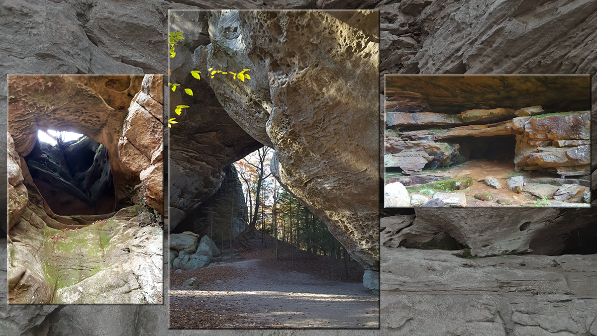
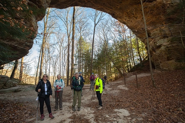
Jamestown, TN 5.5 miles - moderately strenuous for terrain, elevation change and length. Joint hike with the Highland Rim and Murfreesboro Chapters. This popular trail features huge arches,  bluffs, and scenic views. Meet at the trailhead for a 9:45 AM CDT step off. Pack snacks, plenty of water, and a lunch. Wear footwear appropriate for […]

Twin Arches Loop

Saturday, September 28 – Twin Arches Loop, Big South Fork, Jamestown, TN – 5.5 miles - moderately strenuous for terrain, elevation change and length. Joint hike with the Nashville and Murfreesboro Chapters. This popular trail features huge arches, bluffs, and scenic views. Meet at the trailhead for a 9:45 AM CDT step off. Pack snacks, […]

BSFNRA Maude’s Crack Trail, Jamestown, TN

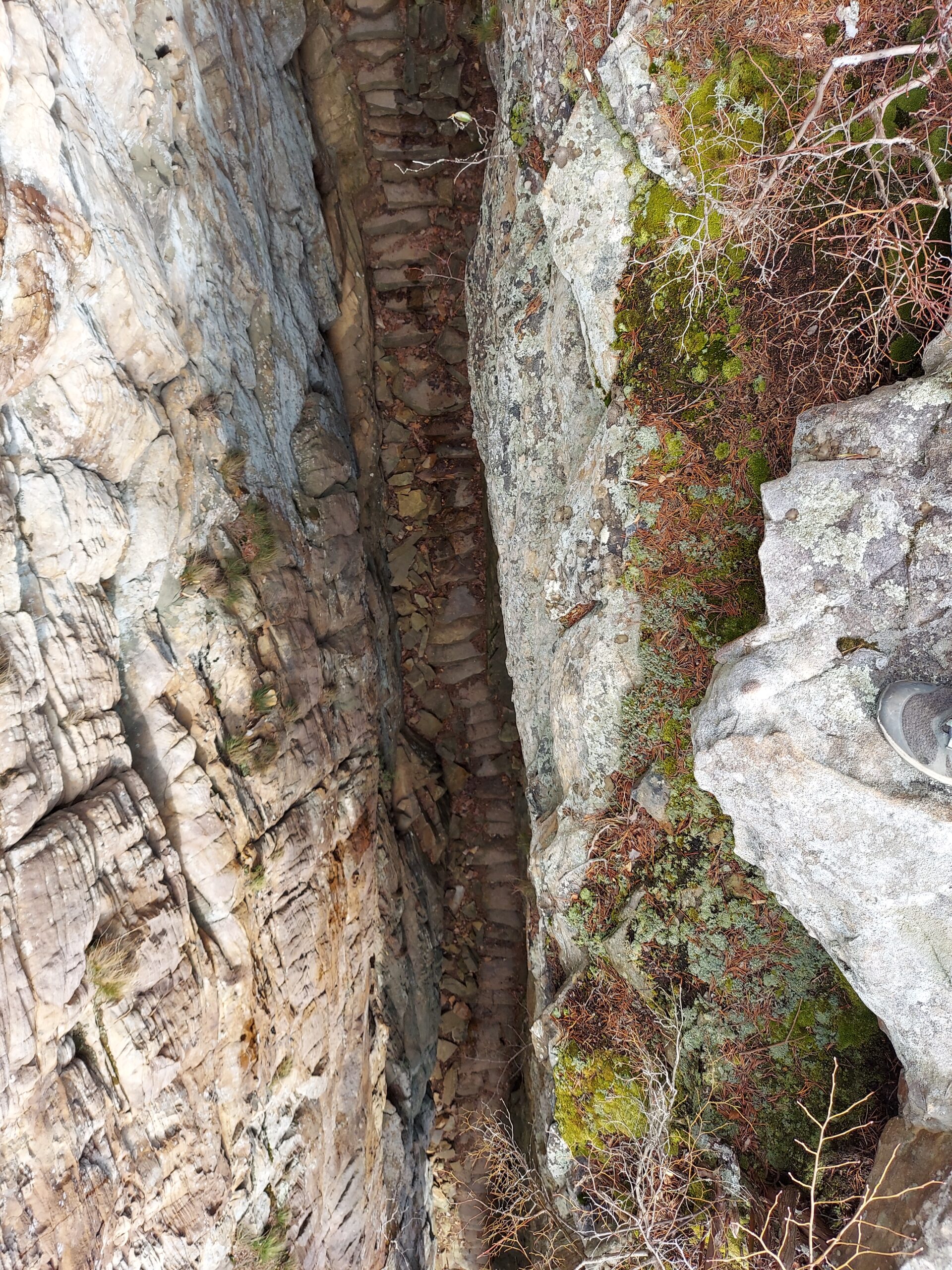
We Joint hike with Upper Cumberland Chapter. Long Hike: 7 mi moderate to strenuous. Short Hike: 4 mi moderate to strenuous down to the creek and back, then hike to Maude's Crack Overlook and back. This hike is a loop that descends to the bottom of No Business Gorge, and then follows the creek for […]

International Harvester Managerial Park – Lakeland

We will hike through Lakeland's International Harvester ("IH") Managerial Park. The park is located adjacent to the Lakeland Senior Center on the west side of Canada Rd. between I-40 and Hwy 70 at 4523 Canada Rd. Please arrive no later than 8:45 in order to sign in and hear announcements. The hike is about 3.5 […]

Savage Gulf State Park- Stone Door to Alum Gap Overlook, Beersheba Springs, TN.

Joint hike with Upper Cumberland Chapter. Long Hike: 8.2 mi round trip on the Big Creek Trail to the Alum Gap campground then ½ mi to the overlook. Elevation gain is 1,135. Short Hike: 4-5 mi out and back. Bring (electrolytes) water, lunch and a snack. Don’t forget tick/bug spray and sunscreen. Sturdy hiking boots […]

North Chickamauga Creek Gorge Class II Natural-Scientific State Natural Area, CT Trailhead Barker Camp Road, Dunlap, TN

Joint hike with Upper Cumberland Chapter. Long Hike: 8 mi round trip moderate to strenuous. Short Hike: 4-5 mi round trip moderate to strenuous. We'll hike South toward Lone Oak past the Furnace Rockhouse and Vortex Falls. Bring hiking poles, (electrolytes) water, lunch and a snack. Don’t forget tick/bug spray and sunscreen. Sturdy hiking boots […]

Norris Dam State Park, Rocky Top, TN

Joint hike with Upper Cumberland Chapter. Short Hike: Marine Railway Loop trail, the Marine Parkway Spur trail and Harmon Loop for 4.6 miles rated moderate to difficult due to elevation changes in for fall colors. Long Hike: plus an additional 2 miles on the Chuckmore Trail. Bring hiking poles, (electrolytes) water, lunch and a snack. […]

Bearwaller Gap, Cordell Hull Lake, Byrdstown, TN

Long Hike: 6.5 miles moderate to difficult thru hike. Requires a car shuttle. Short Hike: 4 mi moderate with a short strenuous climb out and back. The trail offers panoramic overlook views of the lake; many diverse species of wildflowers (in season) and native wildlife; and breathtaking scenery. The secluded trail runs 6.5 miles between […]

polygon(703 1, 703 1, 695 1, 694 4, 676 5, 668 5, 664 5, 638 7, 638 7, 620 8, 608 8, 567 10, 567 10, 551 10, 551 10, 530 12, 525 13, 525 13, 505 13, 503 13, 460 13, 459 13, 444 13, 419 12, 419 12, 417 12, 406 13, 377 13, 361 13, 343 12, 343 12, 326 11, 313 13, 297 12, 272 12, 268 12, 268 12, 250 13, 225 13, 220 13, 207 13, 207 10, 194 9, 189 9, 191 28, 155 27, 153 27, 128 26, 126 26, 84 26, 78 26, 73 26, 68 26, 68 43, 60 58, 60 58, 51 77, 55 87, 52 87, 51 87, 49 88, 49 88, 48 88, 40 103, 35 125, 15 135, 20 141, 20 141, 20 142, 21 166, 21 166, 21 166, 20 168, 10 174, 2 176, 0 179, 0 180, 50 182, 56 182, 81 182, 94 183, 94 183, 109 183, 125 183, 128 183, 162 183, 164 183, 178 183, 196 182, 196 182, 227 183, 260 183, 261 183, 292 184, 296 184, 336 183, 336 183, 374 183, 396 183, 407 183, 416 183, 424 182, 448 181, 448 181, 462 181, 465 181, 465 181, 478 180, 503 180, 505 157, 512 152, 521 152, 525 150, 527 147, 532 129, 532 129, 533 130, 556 117, 556 117, 557 117, 558 118, 570 117, 571 117, 586 107, 590 103, 590 101, 590 101, 614 91, 618 76, 622 75, 630 69, 635 64, 637 63, 639 62, 640 62, 641 63, 641 63, 642 65, 642 65, 651 70, 657 60, 673 51, 673 51, 685 55, 696 38, 697 36, 698 34, 702 30, 707 28, 707 28, 707 27, 708 29, 710 30, 711 30, 711 30, 713 29, 713 24, 715 3, 718 1)