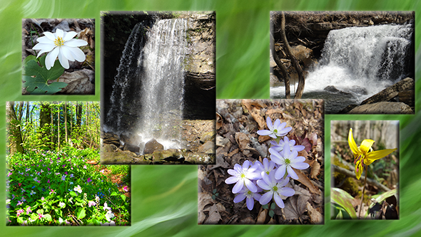
Lucius Burch Natural Area – North

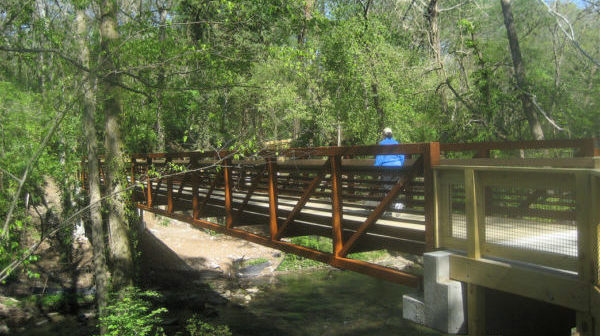
The hike will be approximately 5.75 miles and take between 2 1/2 and 3 hours. The terrain is relatively flat with a few steep ravine crossings. Bring water and a snack. Hiking boots are recommended especially if we have had recent rain. Rain will cancel hike. We will meet in the unpaved parking area on […]
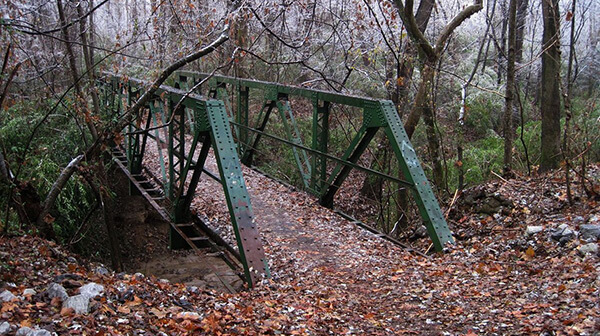
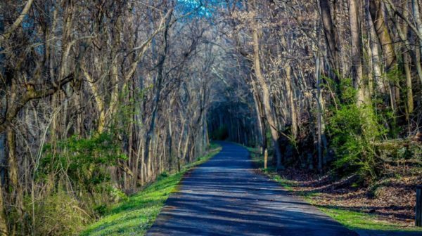
Cumberland River Bicentennial Greenway

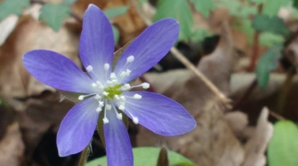
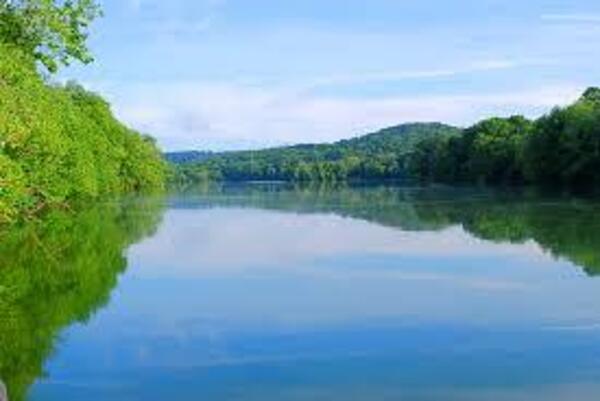
Wednesday, April 10. Cumberland River Bicentennial Greenway, Ashland City. 10:00 AM. 4 miles. Out and back on level, paved trail. Dogs welcome. Should be a good wildflower hike. Meet at the Marks Creek Hill/Chapmansboro Road trailhead, 120 Chapmansboro Rd. (Left turn just after crossing a little bridge over Marks Creek on Hwy. 12 on north […]

Short Springs Wildflower Hike

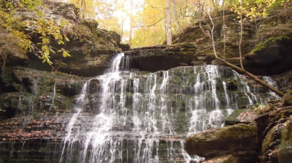
Short Springs is a 420-acre natural area located in Coffee County approximately three and a half miles northeast of Tullahoma. The natural area provides excellent contrast between the Highland Rim and Central Basin geology and vegetation. When descending along the Machine Falls trail, a visitor can observe exposed black Chattanooga shale at mid-slope, which is […]

Walls of Jericho – Bear Hollow Mountain Wildlife Management Area

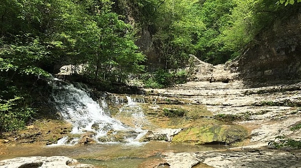
Saturday, April 13 – Walls of Jericho. Bear Hollow Mountain Wildlife Management Area on the west side of Winchester. 8 miles rated strenuous due to rocky terrain and elevation. A short vehicle shuttle is necessary. This gorge straddles the Tennessee-Alabama state line, and we will begin our hike from the Tennessee trailhead. We will cross […]

Shakerag Hollow

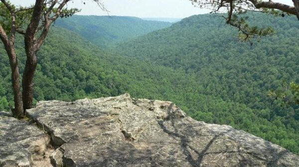
Sunday April 14 – Shakerag Hollow and Piney Point Trails,  4.5 miles, moderate.  Sewanee, TN.  Shakerag Hollow is famous for spring wildflowers.  Piney Point features an awesome overlook of Roark’s Cove.   Meet at the University Gates parking lot at 1:00 pm.  Bring water, snacks and hiking sticks.  Please register with Joan Hartvigsen, jhartvigs@comcast.net or 931-636-2914.

Radnor Lake State Park

Tuesday, April 16. Radnor Lake State Park. Approximately 4.2 miles. Moderate difficulty with 550 feet of elevation gain. Hiking boots, trekking poles and adequate water are recommended. We’ll start at the Walter Criley Visitor Center, hike the Lake Trail (clockwise direction around lake), climb the Ganier Ridge Trail (clockwise) then reconnect to the Lake trail. […]

BSFNRA Angel Falls Overlook Trail, Oneida, TN

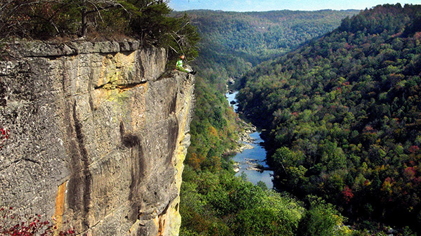
Joint hike with Upper Cumberland Chapter. Today’s hike will be in two parts.  First, we will do the Angel Falls Overlook in Big South Fork Park for a total of 3-4 miles round-trip.  We will meet at Cracker Barrel’s in Crossville at 7:30 am for those who are car pulling.  If you are meeting us […]

Mossy Ridge Trail – Percy Warner Park

Thursday, April 18 – Mossy Ridge Trail – Percy Warner Park. Nashville. 5 miles rated moderate. Joint hike with Nashville and Sumner Trails chapters. Meet at the trail sign and there are Porta-Potties in the parking lot there. The hike is a loop of about 5 miles through the woods. The path is hilly, some […]

Mossy Ridge Trail – Percy Warner Park

Thursday, April 18 – Mossy Ridge Trail – Percy Warner Park. Nashville. 5 miles rated moderate. Joint hike with Murfreesboro and Sumner Trails chapters. Meet at the trail sign and there are Porta-Potties in the parking lot there. The hike is a loop of about 5 miles through the woods. The path is hilly, some […]

Twentieth Anniversary Trails & Trilliums

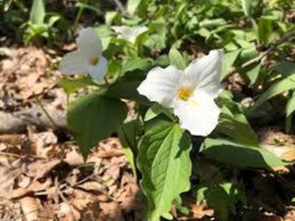
Friday April 19-Sunday April 21 – 20th Anniversary Trails & Trilliums Naturalist Rally.  Beersheba Springs, adjacent to Savage Gulf State Park and Stone Door.  Guided hikes, presentations and workshops by top Naturalists and Rangers.  For more information contact Marietta Poteet, nannietta@benlomand.net or 931-924-7666.

Savage Gulf South Trailhead to Suter Falls and Horsepound Falls

Moderate-difficult, due to rocky trail is 5.2 miles out and back. This hike has a lot to offer: Rocky Mountain Creek rockhouse, two awesome waterfalls, sinks, early spring wildflowers, a water-carved canyon, sandstone overlooks and the Collins River. Carpool cost is $7. Sturdy hiking boots and hiking sticks are recommended. Bring lunch, snacks, (electrolytes) water, […]

polygon(703 1, 703 1, 695 1, 694 4, 676 5, 668 5, 664 5, 638 7, 638 7, 620 8, 608 8, 567 10, 567 10, 551 10, 551 10, 530 12, 525 13, 525 13, 505 13, 503 13, 460 13, 459 13, 444 13, 419 12, 419 12, 417 12, 406 13, 377 13, 361 13, 343 12, 343 12, 326 11, 313 13, 297 12, 272 12, 268 12, 268 12, 250 13, 225 13, 220 13, 207 13, 207 10, 194 9, 189 9, 191 28, 155 27, 153 27, 128 26, 126 26, 84 26, 78 26, 73 26, 68 26, 68 43, 60 58, 60 58, 51 77, 55 87, 52 87, 51 87, 49 88, 49 88, 48 88, 40 103, 35 125, 15 135, 20 141, 20 141, 20 142, 21 166, 21 166, 21 166, 20 168, 10 174, 2 176, 0 179, 0 180, 50 182, 56 182, 81 182, 94 183, 94 183, 109 183, 125 183, 128 183, 162 183, 164 183, 178 183, 196 182, 196 182, 227 183, 260 183, 261 183, 292 184, 296 184, 336 183, 336 183, 374 183, 396 183, 407 183, 416 183, 424 182, 448 181, 448 181, 462 181, 465 181, 465 181, 478 180, 503 180, 505 157, 512 152, 521 152, 525 150, 527 147, 532 129, 532 129, 533 130, 556 117, 556 117, 557 117, 558 118, 570 117, 571 117, 586 107, 590 103, 590 101, 590 101, 614 91, 618 76, 622 75, 630 69, 635 64, 637 63, 639 62, 640 62, 641 63, 641 63, 642 65, 642 65, 651 70, 657 60, 673 51, 673 51, 685 55, 696 38, 697 36, 698 34, 702 30, 707 28, 707 28, 707 27, 708 29, 710 30, 711 30, 711 30, 713 29, 713 24, 715 3, 718 1)