Big South Fork Camping Trip

Wednesday, November 20-Saturday, November 23 -   Camping at Bandy Creek Campground, Big South Fork National River and Recreation Area, Jamestown, TN.   We are camping in A  Loop, a tent only area.  Contact Joan Hartvigsen, jhartvigs@comcast.net or 931-636-2914 for camping information. Please reserve your own campsite.     Wednesday afternoon after setting up our tents, we will hike […]

Rock Creek Loop, Big South Fork (re-scheduled)

Rock Creek Loop - Big South Fork Blevins Cemetary Road, Jamestown, TN, United States

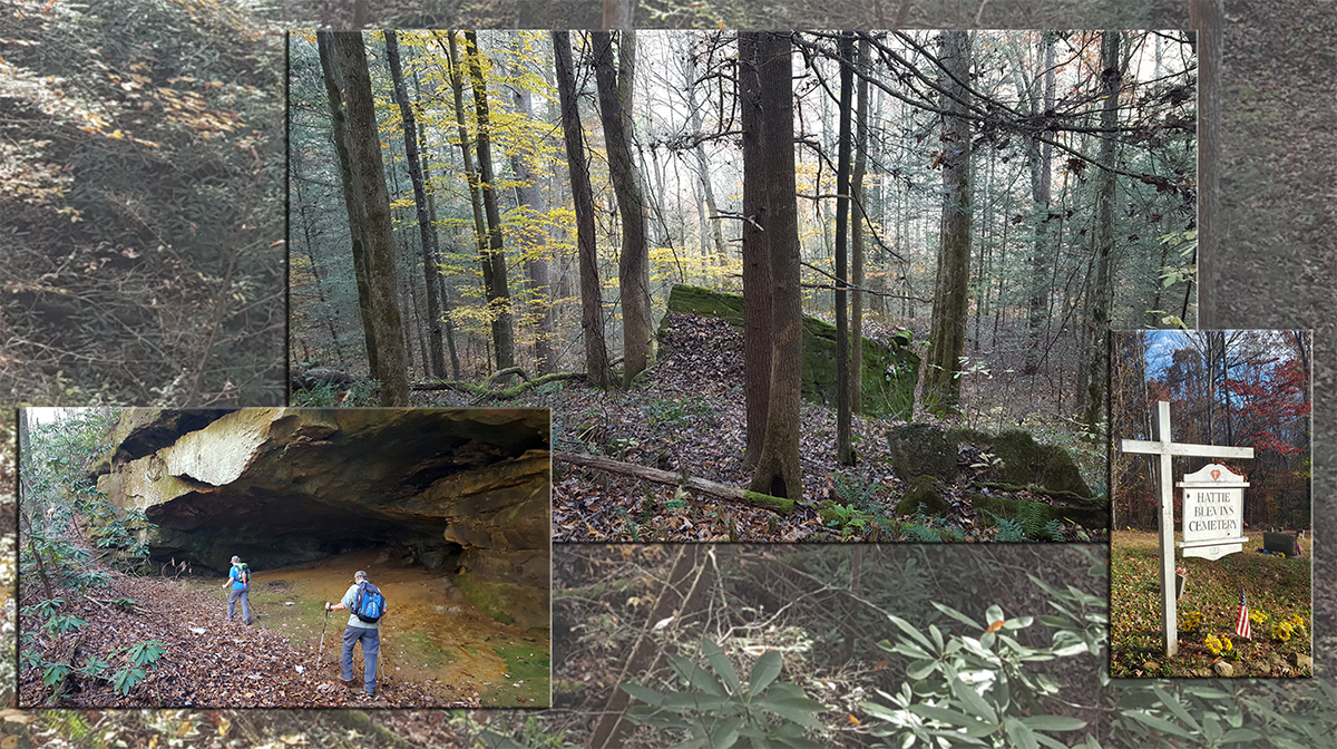
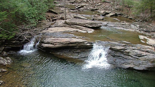
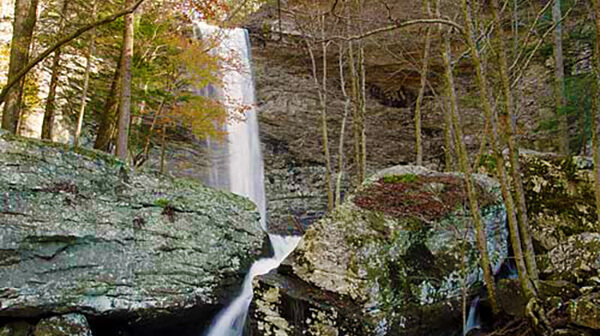
Jamestown, TN 7.5 miles - moderately strenuous for terrain, elevation change and length. Joint hike with the Highland Rim and Murfreesboro Chapters. We’ll descend to the rocky, mossy banks of Massey Branch and Rock Creek, passing below bluffs and along the remains of the Stearns logging railway. Much of the route is shared with the […]

Big South Fork National Recreation Area – Rock Creek Loop

Thursday, Nov 21 – Rock Creek Loop – Big South Fork National Recreation Area. Jamestown. 7.5 miles rated moderately strenuous for elevation change and length. Joint hike with the Nashville and Highland Rim chapters. We’ll descend to the banks of Massey Branch and Rock Creek, passing below bluffs and along the remains of the Stearns […]

Rock Creek Loop

Thursday, November 21  – Rock Creek Loop, Big South Fork, Jamestown, TN – 7.5 miles - moderately strenuous for terrain, elevation change and length. Joint hike with the Nashville and Murfreesboro Chapters. We’ll descend to the rocky, mossy banks of Massey Branch and Rock Creek, passing below bluffs and along the remains of the Stearns […]

Percy Warner Park

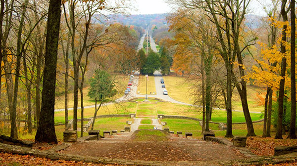
Thursday, November 21. Percy Warner Park. Nashville, TN. 5.1 miles. We will hike the Mossy Ridge Trail beginning at the Deep Well Trailhead.  Moderately challenging trail with several steep sections and gradual inclines. Hiking boots, hiking poles, and plenty of water are recommended. Meet at Glenbrook Kroger if carpooling at 9:15 a.m. or meet at the trailhead […]

Twin Arches Loop, Big South Fork (re-scheduled)

Twin Arches Loop Twin Arches Lane, Jamestown, TN, United States

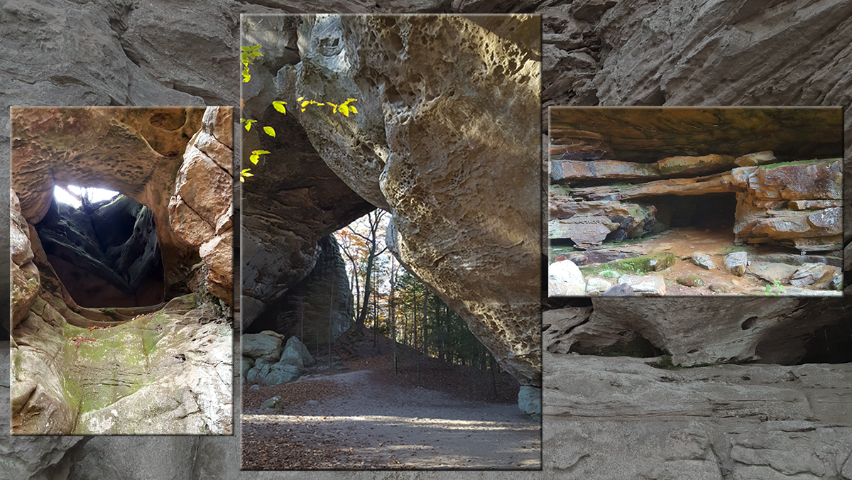
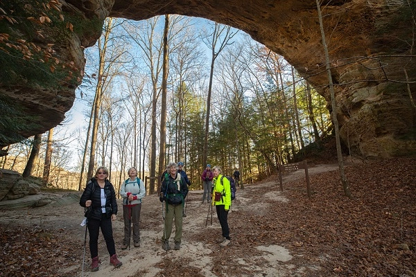
Jamestown, TN 5.5 miles - moderately strenuous for terrain, elevation change and length. Joint hike with the Highland Rim and Murfreesboro Chapters. This popular trail features huge arches,  bluffs, and scenic views. Meet at the trailhead for a 9:45 AM CDT step off. Pack snacks, plenty of water, and a lunch. Wear footwear appropriate for […]

Twin Arches Loop

Friday, November 22  – Twin Arches Loop, Big South Fork, Jamestown, TN – 5.5 miles - moderately strenuous for terrain, elevation change and length. Joint hike with the Nashville and Murfreesboro Chapters. This popular trail features huge arches, bluffs, and scenic views. Meet at the trailhead for a 9:15 AM CST step off. Pack snacks, […]

Radnor Lake State Park – 5.1 Miles, Moderate

We will hike the Radnor Full Lake and Ganier Ridge Trail.  This is a great hike through the woods and around the lake with lots of opportunities to see lots of wildlife. Meet at I24 Exit 11 Park and Ride.  Depart at 6am CT. Drive 49 Miles to the Trailhead. Please note - We are leaving early […]

CT Upper Piney River Spring City, TN.

Saturday November 23 - CT Upper Piney River, Spring City, TN. Joint hike with Upper Cumberland. Long Hike: We’ll hike 8 mi moderate with stretches of easy from Shut-in Gap Road to the suspension bridge then head South on the newly opened trail. Short Hike: 5 mi in/out moderate. Bring hiking poles, wear hiking boots, […]

Ozone Falls to Black Mountain

Saturday, November 23 — Cumberland Trail: Ozone Falls Section, 7 miles, 1323’ el. gain, point-to-point, strenuous. The elevation gains occur as we extract ourselves from several creek gorges and then at the end of the hike, when we go up to the top of Black Mountain. The shuttle takes 20 minutes. From the CTC: “he […]

Walk in the Woods THE CROSSVILLE GREENWAY: Habitat Trail

Distance: 2.1 miles.  Rating: Easy                                     This trail opened in July 2022.  This is an easy lollypop trail along the Obed River. MEET AT: The trail-head parking lot on Deerfield Road by Spiders Branch. The trail starts across the road from the parking lot.   Bring water, bug spray, sunscreen and a snack.  Persons 18 and over, members and non-members […]

Cascade Trail

Tuesday, November 26 — Cascade Trail in Dalton GA, 4 miles, out-and-back, 846’ el. gain, moderate. This pleasant trail winds its way through the woods behind the west side of Dalton State College.  It meanders up and down the lower side of the ridge that has a convenient break to the north, through which I-75S makes its way […]

polygon(703 1, 703 1, 695 1, 694 4, 676 5, 668 5, 664 5, 638 7, 638 7, 620 8, 608 8, 567 10, 567 10, 551 10, 551 10, 530 12, 525 13, 525 13, 505 13, 503 13, 460 13, 459 13, 444 13, 419 12, 419 12, 417 12, 406 13, 377 13, 361 13, 343 12, 343 12, 326 11, 313 13, 297 12, 272 12, 268 12, 268 12, 250 13, 225 13, 220 13, 207 13, 207 10, 194 9, 189 9, 191 28, 155 27, 153 27, 128 26, 126 26, 84 26, 78 26, 73 26, 68 26, 68 43, 60 58, 60 58, 51 77, 55 87, 52 87, 51 87, 49 88, 49 88, 48 88, 40 103, 35 125, 15 135, 20 141, 20 141, 20 142, 21 166, 21 166, 21 166, 20 168, 10 174, 2 176, 0 179, 0 180, 50 182, 56 182, 81 182, 94 183, 94 183, 109 183, 125 183, 128 183, 162 183, 164 183, 178 183, 196 182, 196 182, 227 183, 260 183, 261 183, 292 184, 296 184, 336 183, 336 183, 374 183, 396 183, 407 183, 416 183, 424 182, 448 181, 448 181, 462 181, 465 181, 465 181, 478 180, 503 180, 505 157, 512 152, 521 152, 525 150, 527 147, 532 129, 532 129, 533 130, 556 117, 556 117, 557 117, 558 118, 570 117, 571 117, 586 107, 590 103, 590 101, 590 101, 614 91, 618 76, 622 75, 630 69, 635 64, 637 63, 639 62, 640 62, 641 63, 641 63, 642 65, 642 65, 651 70, 657 60, 673 51, 673 51, 685 55, 696 38, 697 36, 698 34, 702 30, 707 28, 707 28, 707 27, 708 29, 710 30, 711 30, 711 30, 713 29, 713 24, 715 3, 718 1)