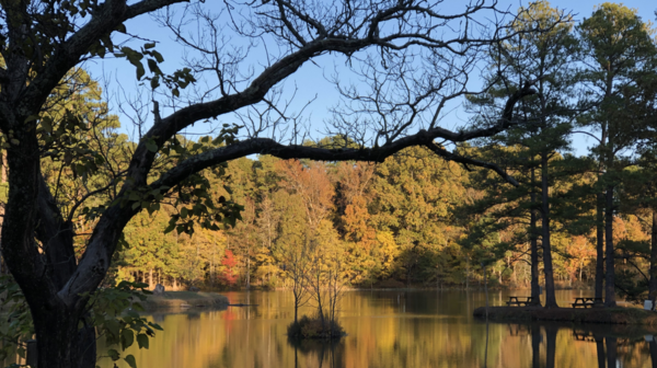
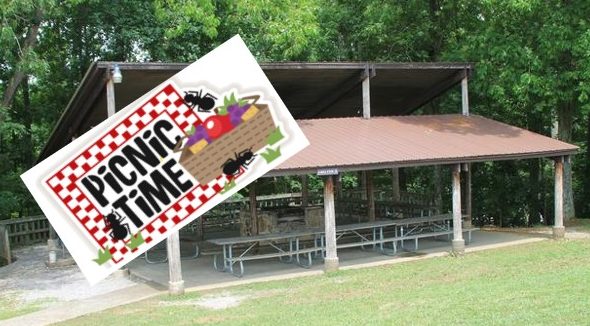
Plateau Chapter Spring Picnic at Meadow Park Lake, Crossville, TN.

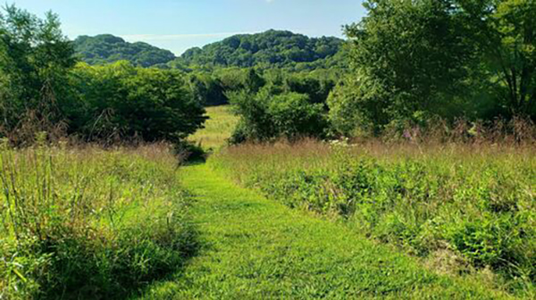
Picnic starts at 5 pm. Hike the newest park Trail first at 4:00 pm. Bring a side dish or dessert to share, and your own drinks and meat to grill. The Chapter will supply the charcoal, plates and plasticware. If you'd like to support the CTC trail building effort, here is a list of items […]
Prater Place and Hemlock Falls

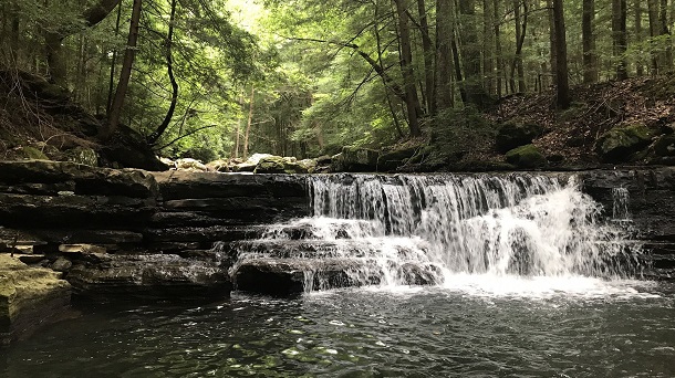
Saturday, May 11 – Prater Place and Hemlock Falls Trail, Fall Creek Falls State Park Spencer, TN. 6 miles out and back rated moderate due to some rocky areas and creek crossings. Joint hike with the Highland Rim chapter. This trail has a total elevation gain of 649 ft and waterfalls, rock formations and caves. […]

Trail Maintenance

Saturday, May 11 — Volunteer workday on the Cumberland Trail, our quarterly commitment to trail work in our area. Add your name to the long list of devoted members who have put their time and effort into the completion of the Cumberland Trail. We will be finishing the tread of part of the newest addition of the CT, […]

Burch Reserve (Warner Park)

EDWIN WARNER PARK - BURCH RESERVEIn 2004, continuing the legacy of Luke Lea and brothers Percy andEdwin Warner, Friends of Warner Parks embraced an opportunity toacquire additional property to become park land. In partnership withMetro Parks and thanks to the generosity of the Lucius E. Burch IIIfamily and others, this extraordinary initiative significantlycontributed to the […]

Herb Parsons Lake

Herb Parsons Lake, Fisherville TN This is an easy 6-mile hike around the lake and through the woods. Meet at the lake parking lot and bring snacks and water. Registration required - at which time you will receive start time. Please include your phone number and email when registering. Rain will cancel hike.

Prater Place and Hemlock Falls

Saturday, May 11 – Prater Place and Hemlock Falls Trail, Fall Creek Falls State Park, Spencer, TN.  6 miles out and back.  Moderate due to some rocky areas and creek crossings. Total elevation gain of 649 ft.  Joint hike with the Murfreesboro Chapter.  This trail has everything:  waterfalls, rock formations, caves, creeks.  This is one […]

Walk in the woods FAIRFIELD GLADE: Thornhill Trail

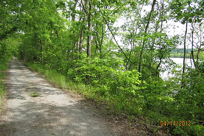
Distance: 2.0 miles.  Rating: Easy The trail starts by carefully crossing Westchester Drive onto Thornhill Lane. Most of the trail is on gravel/grassy roads that are unsigned so follow the trail posts and signs. It is worth taking a short detour on the dam of Lake Malvern to admire the view. The trail consists of flat roads […]

White Oak Mountain

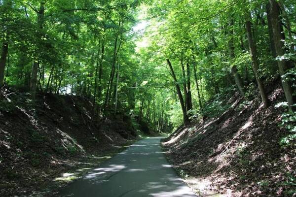
Tuesday, May 14 — White Oak Mountain Big Red Trail Loop, Collegedale, 4 miles, 623’ el. gain, moderate. The trail begins on the campus of Southern Adventist University and winds its way up and down the side of White Oak Mountain. The woods are pleasant, the trail is well-marked, there are no steep inclines, and the […]

Great Smoky Mountains Camping and Hiking Trip

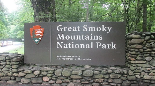
Tuesday-Friday, May 14-17 – Great Smoky Mountains Camping and Hiking Trip.  Joint activity with the Murfreesboro Chapter, Sara Pollard.  Contact Joan Hartvigsen to reserve a spot in Cosby Group Campsite, jhartvigs@comcast.net or 931-636-2914. Hike Schedule:    Tuesday – Sutton Ridge Overlook by way of the Lower Mount Cammerer Trail.  3.6 miles out and back.  400 ft. […]

Murfreesboro Chapter Meeting

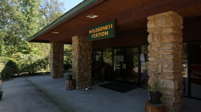
Tuesday, May 14 – Chapter Meeting – 7:00 P.M. CT. Barfield Crescent Park Wilderness Station. This is our hike planning meeting for July through December hikes. Bring your calendars to schedule hikes you want to lead or ideas for hikes. If you cannot attend and want to lead a hike, contact hike coordinator Sara Pollard […]

Weekly Radnor Lake Hike

Radnor Lake State Park 1160 Otter Creek Road, Nashville, Tennessee, United States

Wednesdays - Radnor Lake Standing Hike - 7 AM Radnor Lake State Park, Nashville TN. 5 miles. Moderate. Meet at the Visitor Center, West Parking Lot off Granny White, 1160 Otter Creek Road. Arrive 5-10 minutes early to be ready to hike at 7 am, or earlier if everyone has arrived. This hike has elevation […]

Big South Fork, Sheltowee Trace to Parker MT to Buffalo Arch, KY.

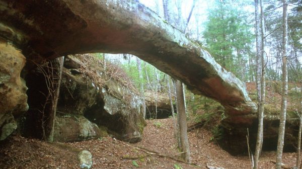
Joint hike with Upper Cumberland Chapter. Gorgeous trail, lots of lady slippers. Fairly easy for a 9 mi hike. SHORT HIKE: 4.4 moderate in/out miles to the Rock Creek crossing. LONG HIKE: 9 mi moderate hike to Buffalo Arch and back. Water shoes are needed to wade across Rock Creek. There is a half mile […]

polygon(703 1, 703 1, 695 1, 694 4, 676 5, 668 5, 664 5, 638 7, 638 7, 620 8, 608 8, 567 10, 567 10, 551 10, 551 10, 530 12, 525 13, 525 13, 505 13, 503 13, 460 13, 459 13, 444 13, 419 12, 419 12, 417 12, 406 13, 377 13, 361 13, 343 12, 343 12, 326 11, 313 13, 297 12, 272 12, 268 12, 268 12, 250 13, 225 13, 220 13, 207 13, 207 10, 194 9, 189 9, 191 28, 155 27, 153 27, 128 26, 126 26, 84 26, 78 26, 73 26, 68 26, 68 43, 60 58, 60 58, 51 77, 55 87, 52 87, 51 87, 49 88, 49 88, 48 88, 40 103, 35 125, 15 135, 20 141, 20 141, 20 142, 21 166, 21 166, 21 166, 20 168, 10 174, 2 176, 0 179, 0 180, 50 182, 56 182, 81 182, 94 183, 94 183, 109 183, 125 183, 128 183, 162 183, 164 183, 178 183, 196 182, 196 182, 227 183, 260 183, 261 183, 292 184, 296 184, 336 183, 336 183, 374 183, 396 183, 407 183, 416 183, 424 182, 448 181, 448 181, 462 181, 465 181, 465 181, 478 180, 503 180, 505 157, 512 152, 521 152, 525 150, 527 147, 532 129, 532 129, 533 130, 556 117, 556 117, 557 117, 558 118, 570 117, 571 117, 586 107, 590 103, 590 101, 590 101, 614 91, 618 76, 622 75, 630 69, 635 64, 637 63, 639 62, 640 62, 641 63, 641 63, 642 65, 642 65, 651 70, 657 60, 673 51, 673 51, 685 55, 696 38, 697 36, 698 34, 702 30, 707 28, 707 28, 707 27, 708 29, 710 30, 711 30, 711 30, 713 29, 713 24, 715 3, 718 1)