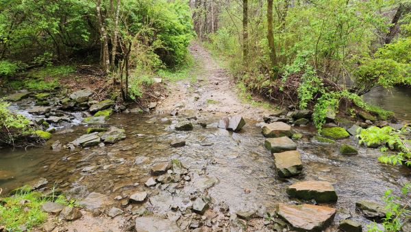
Raccoon Mountain Hike

Thursday, October 17 - Raccoon Mountain Hike. 13-mile loop rated moderate with some elevation change. Raccoon Mountain is located 15 miles west of Chattanooga. The trail system circles around the TVA Raccoon Mountain Pumped Storage Facility. This facility is a true engineering feat that works like a large battery: water is pumped from the Nickajack […]
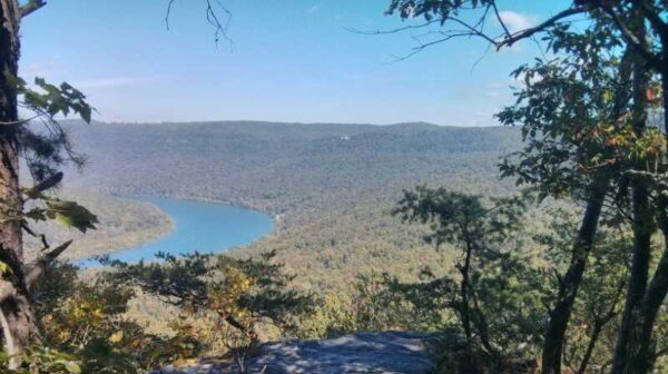
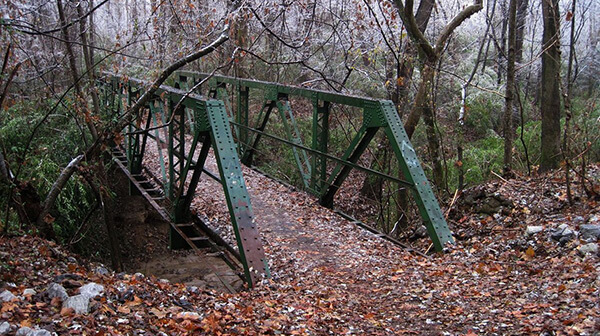
Lucius Burch – White/Yellow/Blue Trail – South of Walnut Grove Road

Meet at the unpaved parking area on the south side of Walnut Grove immediately east of the Wolf River. Plan to hike 5-6 miles in 3 hours. Bring water and a snack. Hiking boots highly recommended. Rain will cancel the hike. Registration is required and please include your name and email or telephone number.

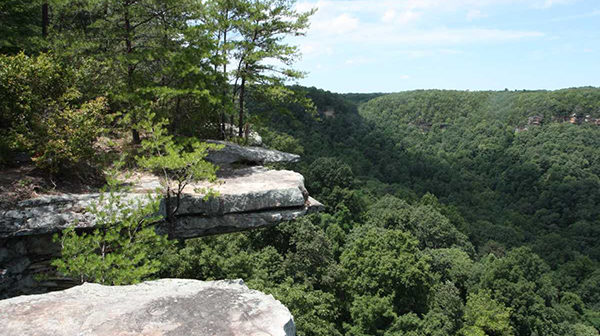
Savage Gulf State Park – Stone Door, Big Creek Rim and Laurel Trails Loop

Saturday, October 19 – Savage Gulf State Park. Savage Gulf North Trailhead, Stone Door Ranger Station, 1183 Stone Door Road, Beersheba. Joint hike with the Highland Rim chapter. This 7-mile hike is rated easy to moderate with little elevation change. It will include the Stone Door, Big Creek Rim, and Laurel Trails Loop. This hike […]

Raccoon Mountain Hike

Saturday, October 19 — Raccoon Mountain. We will start at Laurel Point and do a loop on the River Gorge trail, Megawatt to the Visitor Center and then back to the start. It will be about 8.5, moderate with rolling hills & some rocks & overlooks. Check the weather forecast and choose appropriate layers; wear […]

$2.00

Stone Door and Big Creek Rim Hike

Saturday, October 19 – Stone Door, Big Creek Rim, Laurel Trails Loop.  7 miles. Little elevation change.  Easy to moderate.  Savage Gulf North Trailhead- Stone Door Ranger Station, 1183 Stone Door Road, Beersheba, TN. Joint outing with the Murfreesboro Chapter.  Bring a lot of water and lunch.  Register with Joan Hartvigsen, jhartvigs@comcast.net or 931-636-2914.  The […]

Knoxville – the Cove at Concord Park

It's that time again to plan our hikes for 2025.  The Cove is a perfect place for our hike planning.  We will meet at 12:00 pm at a reserved shelter and enjoy a great meal.  Remember to bring your one or two favorite hikes to our 2025 hike planning table and we will enjoy great […]

Annual Bonfire, Rotary Park Amphitheatre

Meet at 4 P.M. CT at Rotary Park Amphitheater. The entrance to the Amphitheater is on E. Old Ashland City Road. We will hike approximately 2 miles, moderate, and eat after the hike. Bring a covered dish. Drinks, cups, plates, etc. will be provided. There are bathrooms close to the Pavilion. Hike Leader – Steve […]

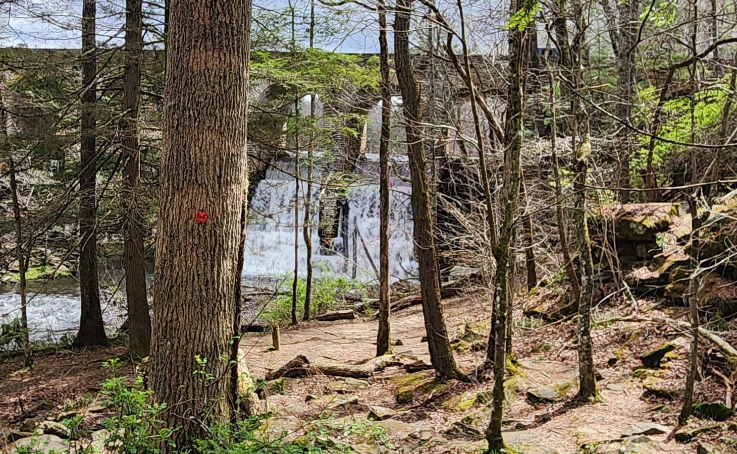
Walk in the Woods CUMBERLAND MOUNTAIN STATE PARK: Byrd Creek Trail

Distance: 2.00 miles.  Rating: Easy to Moderate This trail follows along the banks of Byrd Creek for the entirety of the hike. At approximately one and a half miles hikers will come to the red and yellow junction. From here you should follow the red trail back to the CCC dam, then walk across the […]

Chapter Meeting

Monday, October 21, 7:00 pm at the DW Wilson Community Center, 501 N. Collins Street, Tullahoma. Last Chapter Meeting before the Annual Meeting! We have a lot of important business and need everyone to come and support our Chapter. First, we’ll be voting for Highland Rim TTA Chapter officers for 2025. Also, for members of […]

Keown Falls & Johns Mountain

Tuesday, October 22 — Johns Mountain and Pinhoti Loop Trail, 5.0 miles, moderate, 1,023’ el. gain. This trail is part of the Chattahoochee-Oconee National Forest. As we hike along this beautiful trail, we will reach the top of the mountain ridge at the Johns Mountain Lookout Tower. Enjoy our walk along this ridge, with its […]

Bearwaller Gap, Cordell Hull Lake, Byrdstown, TN

Long Hike: 6.5 miles moderate to difficult thru hike. Requires a car shuttle. Short Hike: 4 mi moderate with a short strenuous climb out and back. The trail offers panoramic overlook views of the lake; many diverse species of wildflowers (in season) and native wildlife; and breathtaking scenery. The secluded trail runs 6.5 miles between […]

Walk in the Woods THE CROSSVILLE GREENWAY: Habitat Trail

Distance: 2.1 miles.  Rating: Easy                                     This trail opened in July 2022.  This is an easy lollypop trail along the Obed River. MEET AT: The trail-head parking lot on Deerfield Road by Spiders Branch. The trail starts across the road from the parking lot.   Bring water, bug spray, sunscreen and a snack.  Persons 18 and over, members and non-members […]

polygon(703 1, 703 1, 695 1, 694 4, 676 5, 668 5, 664 5, 638 7, 638 7, 620 8, 608 8, 567 10, 567 10, 551 10, 551 10, 530 12, 525 13, 525 13, 505 13, 503 13, 460 13, 459 13, 444 13, 419 12, 419 12, 417 12, 406 13, 377 13, 361 13, 343 12, 343 12, 326 11, 313 13, 297 12, 272 12, 268 12, 268 12, 250 13, 225 13, 220 13, 207 13, 207 10, 194 9, 189 9, 191 28, 155 27, 153 27, 128 26, 126 26, 84 26, 78 26, 73 26, 68 26, 68 43, 60 58, 60 58, 51 77, 55 87, 52 87, 51 87, 49 88, 49 88, 48 88, 40 103, 35 125, 15 135, 20 141, 20 141, 20 142, 21 166, 21 166, 21 166, 20 168, 10 174, 2 176, 0 179, 0 180, 50 182, 56 182, 81 182, 94 183, 94 183, 109 183, 125 183, 128 183, 162 183, 164 183, 178 183, 196 182, 196 182, 227 183, 260 183, 261 183, 292 184, 296 184, 336 183, 336 183, 374 183, 396 183, 407 183, 416 183, 424 182, 448 181, 448 181, 462 181, 465 181, 465 181, 478 180, 503 180, 505 157, 512 152, 521 152, 525 150, 527 147, 532 129, 532 129, 533 130, 556 117, 556 117, 557 117, 558 118, 570 117, 571 117, 586 107, 590 103, 590 101, 590 101, 614 91, 618 76, 622 75, 630 69, 635 64, 637 63, 639 62, 640 62, 641 63, 641 63, 642 65, 642 65, 651 70, 657 60, 673 51, 673 51, 685 55, 696 38, 697 36, 698 34, 702 30, 707 28, 707 28, 707 27, 708 29, 710 30, 711 30, 711 30, 713 29, 713 24, 715 3, 718 1)