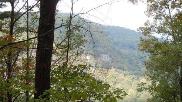
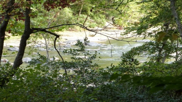
CT via Dogwood West/Gilbreath Creek Access Trail to HWY 30, Dayton

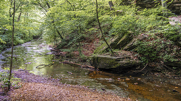
September 30 @ 7:30 am - 4:00 pm Joint hike with Upper Cumberland Chapter. This is a 5 mile moderate sometimes strenuous section we haven't done before. Long Hike: 5 mi thru hike requiring a car shuttle. Short Hike: 3.5 mile total in/out. Bring (electrolytes) water, snacks and lunch. Don’t forget tick/bug spray and sunscreen. […]
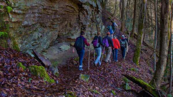
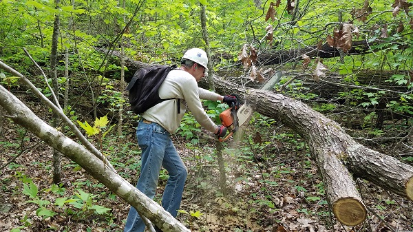
Short Springs Work Day

Saturday, September 30 – Short Springs State Natural Area Work Day.  Meet at 8:00 am in the parking lot, 2250 Short Springs Road, Tullahoma.  Specific tasks will be announced. Contact Joan Hartvigsen to let her know you can help, jhartvigs@comcast.net or 931-636-2914.

Beaman Park

Beaman Park, east section of Laurel Woods Trail, 7.5 miles, difficult due to length and elevation changes. The trail is well constructed in pretty woods on natural turf. There is a good view of the Nashville skyline. Dogs are welcome if on a leash. Meet 8:00 A.M. CT, Madison Street Food Lion parking lot. ∼32 […]

Nashville Urban Hike

Nashville Urban Hike, Nashville, TN.  4-5 miles.  Easy.  Meet at War Memorial Plaza, in the courtyard by the statue, at 8:30 am.   We will walk up to Rutledge Hill and back, seeing many fascinating parts of downtown up close, including the Cumberland River, lower Broadway, the rebuilding of 2nd Avenue North and more.  Call hike […]

Polly Branch Falls CANCELLED (Illness)

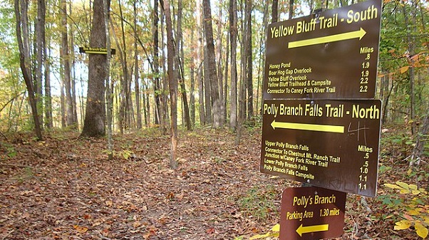
Saturday, September 30 — Polly Branch Falls Trail near Sparta. Moderate, 9.4 miles, 1100’ el. gain, loop. This hike includes two waterfalls, a cascade, and the headwaters of the Caney Fork River. The trail may be overgrown in places, but it is an interesting hike! Bring lunch and the other summer essentials. For carpooling/caravanning, meet […]

Nashville Urban Hike

Saturday, September 30 – Nashville Urban Hike. Cumberland River Greenway, Metro Center Levee. Approximately 8 miles round trip. We will depart the trailhead at 9:00 A.M. CT and walk along the Cumberland River to Riverfront Park in downtown Nashville. This trail features an alternative view of downtown from the industrial areas of Metro Center, Germantown, […]

Kirkstone Trail: Walk in the Woods

Distance: 2.0 miles (loop). Rating: Moderate The Kirkstone Trail is a moderate trail and approximately a 2.0 mile loop hiking trail along gravel roads. The trailhead is at the junction of Marmaduke and Christopher a little way up the hill from the spillway on Lake Kirkstone. The route is marked with yellow stakes and directional […]

Stringer’s Ridge

Tuesday, October 3 — Stringer’s Ridge: Blue Trail plus additional loops, 3.3-4.5 miles, moderate, 508’ elevation gain. Stringer’s Ridge is a forested and rippled ridge separating Red Bank from downtown Chattanooga. We’ll circumnavigate it, wriggling up and down more than you might expect as we stroll through shady woods. We’ll be sure to check out Cherokee Trail, which will take us to […]

Jocassee Lake Camping and Kayaking

Tuesday October 3-Friday October 6.  Camping at Double Springs Campground, Devils Fork State Park, Salem, SC.  Kayaking Jocassee Lake.  Double Springs Campground is accessed by a two mile paddle from the remote boat ramp in Devils Fork State Park. BYOB or rent a canoe or kayak from Eclectic Sun Paddle Sports, which is located inside Devils Fork State […]

Wednesday. Clarksville Greenway from Marys Oak Drive to Pollard Road

Wednesday. Clarksville Greenway from Marys Oak Drive Trail Head, out and back, to Pollard Road Trail Head, 4.0 total miles, easy. The trail is paved and follows an abandon railroad right-of-way. You pass through pretty woods and some interesting rock formations. Dogs are welcome but must be on a leash. There is a restroom at […]

Bear Creek Backcountry Trail

Saturday, October 7 — Bear Creek Backcountry Trail, 9 miles, 1300’, moderate, lollipop. This trail in Cloudland Canyon GA takes us through the forest, across Bear Creek (perhaps a wet crossing), and up to the northeast part of the park. At the top, we’ll loop through more forest and then follow the rim to some great […]

Angel Falls, Oneida, TN

Saturday, October 7. Angel Falls, Oneida, TN. 4 miles to rapids and back. Easy. Bathrooms at the trailhead. Leave Grey Gables at 9:30 a.m. EST to begin a hike at Angel Falls around 10:15. Drive to the end of the parking area following arrows. You may want to bring water, hiking poles and insect repellant. […]

polygon(703 1, 703 1, 695 1, 694 4, 676 5, 668 5, 664 5, 638 7, 638 7, 620 8, 608 8, 567 10, 567 10, 551 10, 551 10, 530 12, 525 13, 525 13, 505 13, 503 13, 460 13, 459 13, 444 13, 419 12, 419 12, 417 12, 406 13, 377 13, 361 13, 343 12, 343 12, 326 11, 313 13, 297 12, 272 12, 268 12, 268 12, 250 13, 225 13, 220 13, 207 13, 207 10, 194 9, 189 9, 191 28, 155 27, 153 27, 128 26, 126 26, 84 26, 78 26, 73 26, 68 26, 68 43, 60 58, 60 58, 51 77, 55 87, 52 87, 51 87, 49 88, 49 88, 48 88, 40 103, 35 125, 15 135, 20 141, 20 141, 20 142, 21 166, 21 166, 21 166, 20 168, 10 174, 2 176, 0 179, 0 180, 50 182, 56 182, 81 182, 94 183, 94 183, 109 183, 125 183, 128 183, 162 183, 164 183, 178 183, 196 182, 196 182, 227 183, 260 183, 261 183, 292 184, 296 184, 336 183, 336 183, 374 183, 396 183, 407 183, 416 183, 424 182, 448 181, 448 181, 462 181, 465 181, 465 181, 478 180, 503 180, 505 157, 512 152, 521 152, 525 150, 527 147, 532 129, 532 129, 533 130, 556 117, 556 117, 557 117, 558 118, 570 117, 571 117, 586 107, 590 103, 590 101, 590 101, 614 91, 618 76, 622 75, 630 69, 635 64, 637 63, 639 62, 640 62, 641 63, 641 63, 642 65, 642 65, 651 70, 657 60, 673 51, 673 51, 685 55, 696 38, 697 36, 698 34, 702 30, 707 28, 707 28, 707 27, 708 29, 710 30, 711 30, 711 30, 713 29, 713 24, 715 3, 718 1)