Natchez Trace Pkwy – Meriwether Lewis and Devil’s Backbone Loops

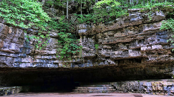
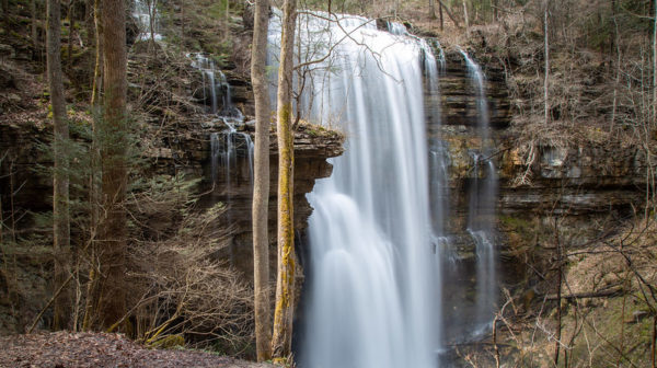
Hohenwald TN. Moderate. Two separate hikes adjacent to the Natchez Trace Parkway. First, the Meriwether Lewis Loop - 3.5 miles with wooded rolling terrain. Next, a few miles north on the Parkway, we’ll hike the Devil's Backbone Loop: 2.5 miles, again with wooded rolling terrain. Bring sturdy boots, snacks, and clothing appropriate for the weather […]
Standing Stone State Park

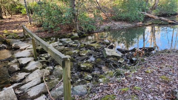
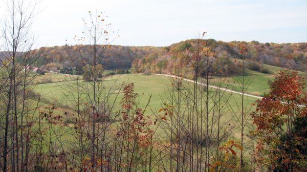
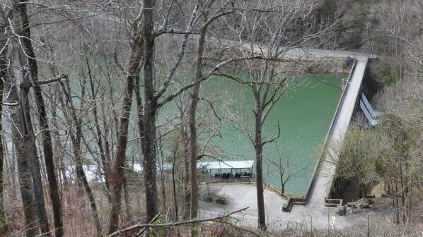
Saturday, February 3 – “Pick a Park” series. Standing Stone State Park. Hilham. 4.7 miles rated moderate. Parts of the trail around the lake are uphill both ways, but the views are great. Meet at 10:00 A.M. CT at the Visitor Center for a slow, cold jaunt around Kelly Lake. Bring sturdy shoes, sturdy stick, […]

Kodak – Seven Islands State Birding Park

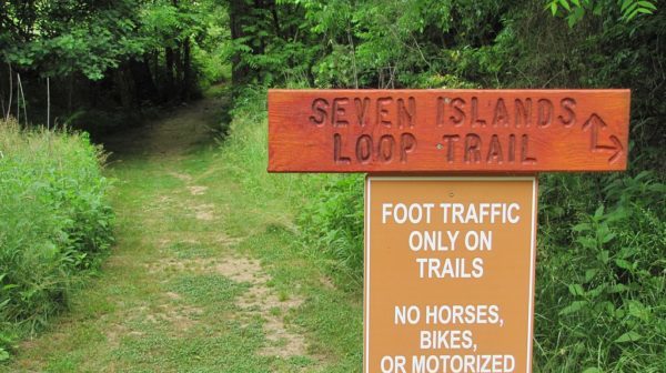
Join us for an easy to moderate 5 + mile hike in Tennessee's newest state park, designated, as such in September 2013. This Park is on former farmland and includes the Kelly Bend peninsula along the French Board River. Habitats include wooded hills, an intermittent stream and several fields being restored to Native warm-season grasses. […]

Walk in the woods PLEASANT HILL: Lake Alice Trail

Distance: 1.5 miles & 0.3 miles.  Rating: Easy This is a nice walk through the woods with lake views.  From the parking lot on West Lake Road, we will walk up Yonside Drive to the Lake Alice Trail kiosk is.  Follow the trail markers in a clockwise direction around Lake Alice until it ends at West Lake […]

Monthly Meeting

The Jackson Chapter's monthly meeting will be at Mulligan's Restaurant/Bar located on Union University Drive in Jackson at 6:00 p.m. Eating is encouraged as they do not charge us for using their dining room. You may arrive a few minutes before 6 to start ordering food. Please contact Terry Warren 731-535-0625 for more information.

Foster Falls to Small Wilds Campground Hike

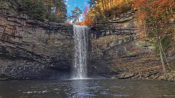
Tuesday, February 6 - Foster Falls to Small Wilds Campground, Fiery Gizzard South Trailhead, South Cumberland State Park.  5 miles out-and-back, flat.  Easy to moderate.  Joint hike with the Scenic City Chapter.  On this hike we will enjoy two overlooks of Foster Falls and many cool overlooks of Fiery Gizzard Cove.  We will meet at the Foster Falls/Fiery Gizzard South […]

Foster Falls

Tuesday, February 6 — South Cumberland State Park: Foster Falls to Small Wilds Campground, 5 miles out-and-back, flat, easy to moderate. On this hike we will enjoy two overlooks of Foster Falls and many cool overlooks of Fiery Gizzard Cove. Check the weather forecast and choose appropriate layers; wear hiking shoes or boots; bring water, snacks and/or lunch; […]

Cumberland Cove Trails, Monterey, TN

Joint hike with Upper Cumberland Chapter. Short Hike (5 miles total) from Overlook Park to Cowpens loop trail, easy 2.3 miles. On to Stillhouse park overlook and loop trail via Scenic North loop trail. Long Hike: Above trails plus 1.5 miles on Rhododendron trail, considered difficult, to Bridge Creek falls. Then another easy trail to […]

Dunbar Cave State Park – 2.5 mi. Easy

Circular hike through Dunbar Cave State Park; some inclines. Sign-in at picnic table at 8:45. Contact: Hike Leader - Suva Bastin 931-216-0325

Virgin Falls SNA – near Sparta

Virgin Falls State Natural Area. 2080 Scotts Gulf Road, Sparta. 9.0 miles round trip rated strenuous. The trail descends around 900 feet in elevation along a path that in many areas is rocky with uneven footing. Because this trail is rugged, we will allow 6-7 hours for this hike and will have to maintain a […]

Virgin Falls State Natural Area

Thursday, February 8 - Virgin Falls State Natural Area. 2080 Scotts Gulf Road, Sparta. 9.0 miles round trip rated strenuous. The trail descends around 900 feet in elevation along a path that in many areas is rocky with uneven footing. Because this trail is rugged, we will allow 6-7 hours for this hike and will […]

Virgin Falls State Natural Area

Thursday, February 8 – Virgin Falls State Natural Area. 2080 Scotts Gulf Road, Sparta. 9.0 miles rated strenuous. Multi chapter hike with Highland Rim and Nashville. The trail descends around 900 feet in elevation along a path that in many areas is rocky with uneven footing. Because this trail is rugged, we will allow 6-7 […]

polygon(703 1, 703 1, 695 1, 694 4, 676 5, 668 5, 664 5, 638 7, 638 7, 620 8, 608 8, 567 10, 567 10, 551 10, 551 10, 530 12, 525 13, 525 13, 505 13, 503 13, 460 13, 459 13, 444 13, 419 12, 419 12, 417 12, 406 13, 377 13, 361 13, 343 12, 343 12, 326 11, 313 13, 297 12, 272 12, 268 12, 268 12, 250 13, 225 13, 220 13, 207 13, 207 10, 194 9, 189 9, 191 28, 155 27, 153 27, 128 26, 126 26, 84 26, 78 26, 73 26, 68 26, 68 43, 60 58, 60 58, 51 77, 55 87, 52 87, 51 87, 49 88, 49 88, 48 88, 40 103, 35 125, 15 135, 20 141, 20 141, 20 142, 21 166, 21 166, 21 166, 20 168, 10 174, 2 176, 0 179, 0 180, 50 182, 56 182, 81 182, 94 183, 94 183, 109 183, 125 183, 128 183, 162 183, 164 183, 178 183, 196 182, 196 182, 227 183, 260 183, 261 183, 292 184, 296 184, 336 183, 336 183, 374 183, 396 183, 407 183, 416 183, 424 182, 448 181, 448 181, 462 181, 465 181, 465 181, 478 180, 503 180, 505 157, 512 152, 521 152, 525 150, 527 147, 532 129, 532 129, 533 130, 556 117, 556 117, 557 117, 558 118, 570 117, 571 117, 586 107, 590 103, 590 101, 590 101, 614 91, 618 76, 622 75, 630 69, 635 64, 637 63, 639 62, 640 62, 641 63, 641 63, 642 65, 642 65, 651 70, 657 60, 673 51, 673 51, 685 55, 696 38, 697 36, 698 34, 702 30, 707 28, 707 28, 707 27, 708 29, 710 30, 711 30, 711 30, 713 29, 713 24, 715 3, 718 1)