Walk in the Woods: CANCELLED DUE TO MUD & RAIN

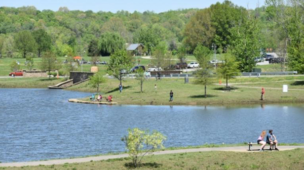
Distance: 2.0 miles.  Rating: Easy The trail starts by carefully crossing Westchester Drive onto Thornhill Lane. Most of the trail is on gravel/grassy roads that are unsigned so follow the trail posts and signs. It is worth taking a short detour on the dam of Lake Malvern to admire the view. The trail consists of flat roads […]

Window Cliffs REPLACED w/ WEST RIM

Tuesday, October 1 — Window Cliffs Trail REPLACED due to wet and muddy conditions. REPLACEMENT: West Rim Trail, Cloudland Canyon State Park GA near Trenton, 4.7 miles, 744’ el. gain with a few short steep climbs, moderate. The path of Hurricane Helene veered mostly east of us, so the park is open. The weather will […]

BSFNRA Maude’s Crack Trail, Jamestown, TN

We Joint hike with Upper Cumberland Chapter. Long Hike: 7 mi moderate to strenuous. Short Hike: 4 mi moderate to strenuous down to the creek and back, then hike to Maude's Crack Overlook and back. This hike is a loop that descends to the bottom of No Business Gorge, and then follows the creek for […]

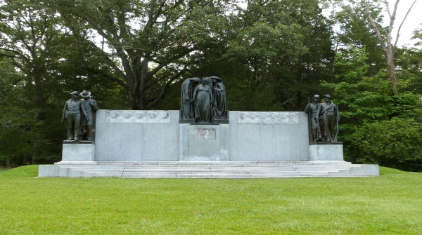
McGregor Park to Fort Defiance – 2.7 Miles, Easy

The whole hike is paved. We walk along both the Cumberland and Red Rivers, cross the Red River on a highway sidewalk and hike up switchbacks through the woods to the Fort’s Museum. There are vistas overlooking downtown Clarksville and Civil War cannons along the way. Dogs are permitted if on a leash. The museum […]

Tims Ford Lake Kayak Paddle

Thursday, October 3 – Tims Ford Lake Kayak Paddle – Pleasant Grove Public Use Area, 199 Pleasant Grove Drive, Estill Springs. Joint event with the Highland Rim chapter. Paddle Little Hurricane Creek to the end of Carvers Branch. Considered to be the prettiest section of Tims Ford Lake. We will meet at 9:00 am CT […]

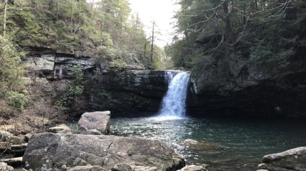
Stillhouse Hollow Falls

It's cleanup time at the Columbia/Franklin Chapter Natural Area. Hike:  Clean-up at Stillhouse Hollow Falls  Carpool:  Kroger, 845 Nashville Highway, Columbia, TN at 8:30 AM (departure time) Meet at Stillhouse Hollow Falls parking lot:  9:00 AM Hike Leader:  Chris Hoffman, chrishoffman51@gmail.com, 712-755-3751 Hike Information: Bring gloves, large trash bags, hand clippers/cutters to cut any vegetation encroaching onto […]

Little Hurricane Creek Paddle

Thursday, October 3 – Paddle on Little Hurricane Creek to end of Carvers Branch.  Pleasant Grove Public Use Area, 199 Pleasant Grove Dr., Estill Springs, TN. Joint outing with the Murfreesboro Chapter.  This may be the prettiest section of Tims Ford Lake.  We will meet at 9 am at the Pleasant Grove boat ramp.  Bring […]

Rotary Park – 3.5 Miles Easy

This is a short hike in Clarksville’s Rotary Park. The trail is mostly shaded and with natural turf and includes a couple of stream crossings and a walk along the streams. Hike will commence at 8am CT at Rotary Park. Trailhead on Rotary Park Drive as you enter the Park. There are bathrooms at the […]

Cherokee National Forest

Saturday, October 5 — Brush Creek Trail in the Cherokee National Forest, 7 miles, easy to moderate. We’ll start at Boyd Gap, with views of Big Frog Mountain and the shores of Ocoee Lake. Check the weather forecast within a day of the hike, as earlier forecasts can change dramatically. Choose appropriate layers; wear hiking shoes or […]

International Harvester Managerial Park – Lakeland

We will hike through Lakeland's International Harvester ("IH") Managerial Park. The park is located adjacent to the Lakeland Senior Center on the west side of Canada Rd. between I-40 and Hwy 70 at 4523 Canada Rd. Please arrive no later than 8:45 in order to sign in and hear announcements. The hike is about 3.5 […]

Cumberland County Hike Fest Crossville, TN

Hike Fest 10 am - 2 pm at the Fairfield Glade Square (corner of Peavine Rd and Stonehenge Drive). Culmination of the Cumberland County Hiking Marathon. Outdoor Sports related vendors will be on hand. There will be live music and concessions stands selling burgers, hotdogs, etc. With over thirty information booths there will be plenty […]

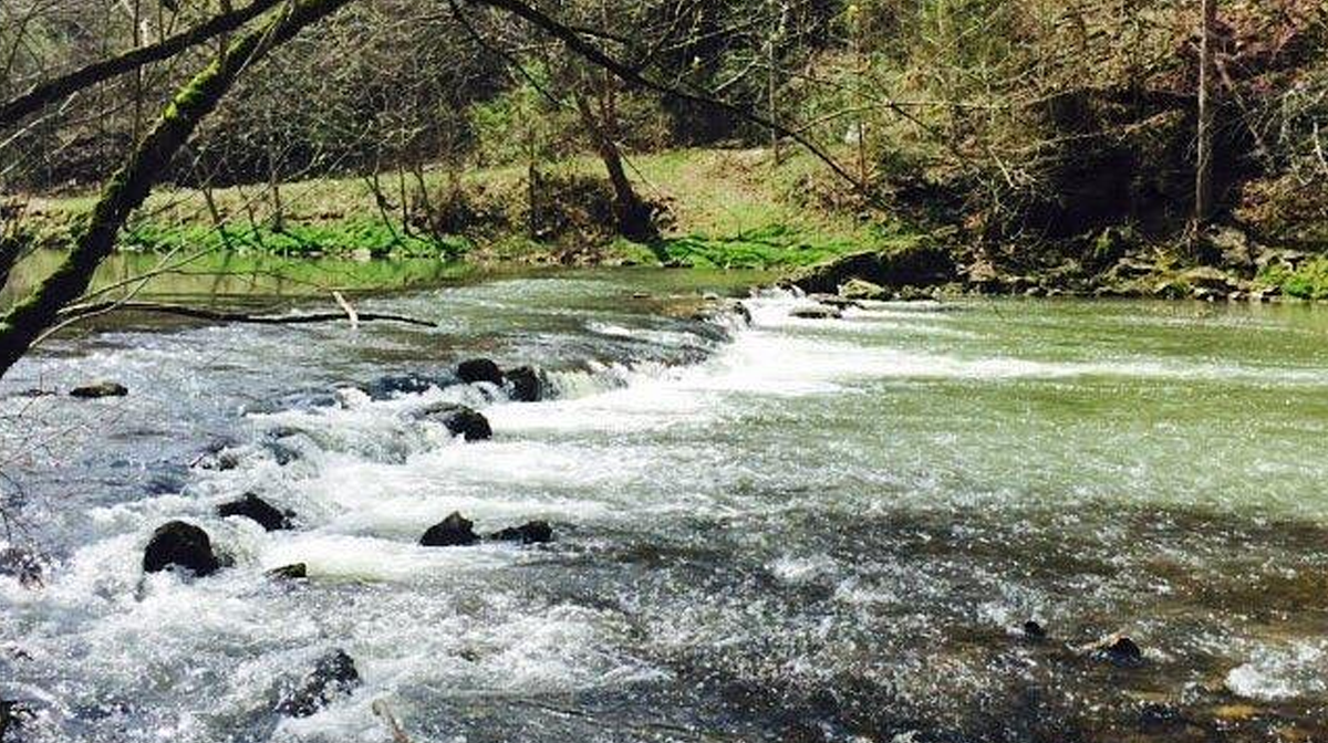
Walk in the Woods: Obed River Park

Distance: 1.2 miles.  Rating: Easy Established in 1982. Offers 2.1 miles of paved walking trails, much of which is along the banks of the scenic Wild Obed River!  Approximately 35 acres located off HWY 70 West, just past the entrance to the Cumberland County Community Complex.  While exploring the park, be on the lookout for […]

polygon(703 1, 703 1, 695 1, 694 4, 676 5, 668 5, 664 5, 638 7, 638 7, 620 8, 608 8, 567 10, 567 10, 551 10, 551 10, 530 12, 525 13, 525 13, 505 13, 503 13, 460 13, 459 13, 444 13, 419 12, 419 12, 417 12, 406 13, 377 13, 361 13, 343 12, 343 12, 326 11, 313 13, 297 12, 272 12, 268 12, 268 12, 250 13, 225 13, 220 13, 207 13, 207 10, 194 9, 189 9, 191 28, 155 27, 153 27, 128 26, 126 26, 84 26, 78 26, 73 26, 68 26, 68 43, 60 58, 60 58, 51 77, 55 87, 52 87, 51 87, 49 88, 49 88, 48 88, 40 103, 35 125, 15 135, 20 141, 20 141, 20 142, 21 166, 21 166, 21 166, 20 168, 10 174, 2 176, 0 179, 0 180, 50 182, 56 182, 81 182, 94 183, 94 183, 109 183, 125 183, 128 183, 162 183, 164 183, 178 183, 196 182, 196 182, 227 183, 260 183, 261 183, 292 184, 296 184, 336 183, 336 183, 374 183, 396 183, 407 183, 416 183, 424 182, 448 181, 448 181, 462 181, 465 181, 465 181, 478 180, 503 180, 505 157, 512 152, 521 152, 525 150, 527 147, 532 129, 532 129, 533 130, 556 117, 556 117, 557 117, 558 118, 570 117, 571 117, 586 107, 590 103, 590 101, 590 101, 614 91, 618 76, 622 75, 630 69, 635 64, 637 63, 639 62, 640 62, 641 63, 641 63, 642 65, 642 65, 651 70, 657 60, 673 51, 673 51, 685 55, 696 38, 697 36, 698 34, 702 30, 707 28, 707 28, 707 27, 708 29, 710 30, 711 30, 711 30, 713 29, 713 24, 715 3, 718 1)