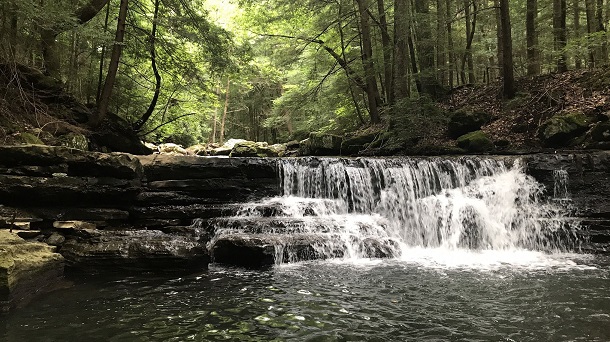
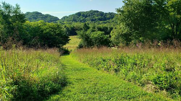
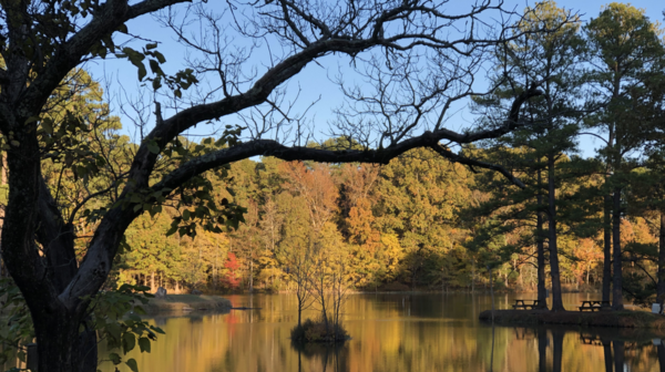
Flat Rock SNA Wildflower Pop-up

Flat Rock Cedar Glades and Barrens Factory Road, Murfreesboro, TN, United States

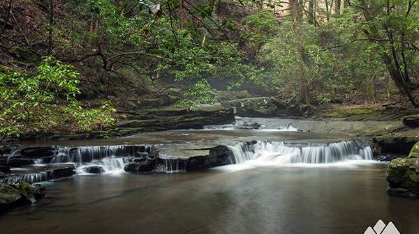
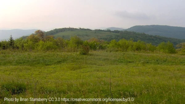
Flat Rock Cedar Glades and BarrensMurfreesboro, TN3.7 miles - easy This Middle Tennessee cedar glades and barrens features wooded sections, meadows, and contrasting rocky areas. We can expect to see a number of wildflower species - many of which are specifically adapted to the geography - and we’ll hike at a pace that allows us […]
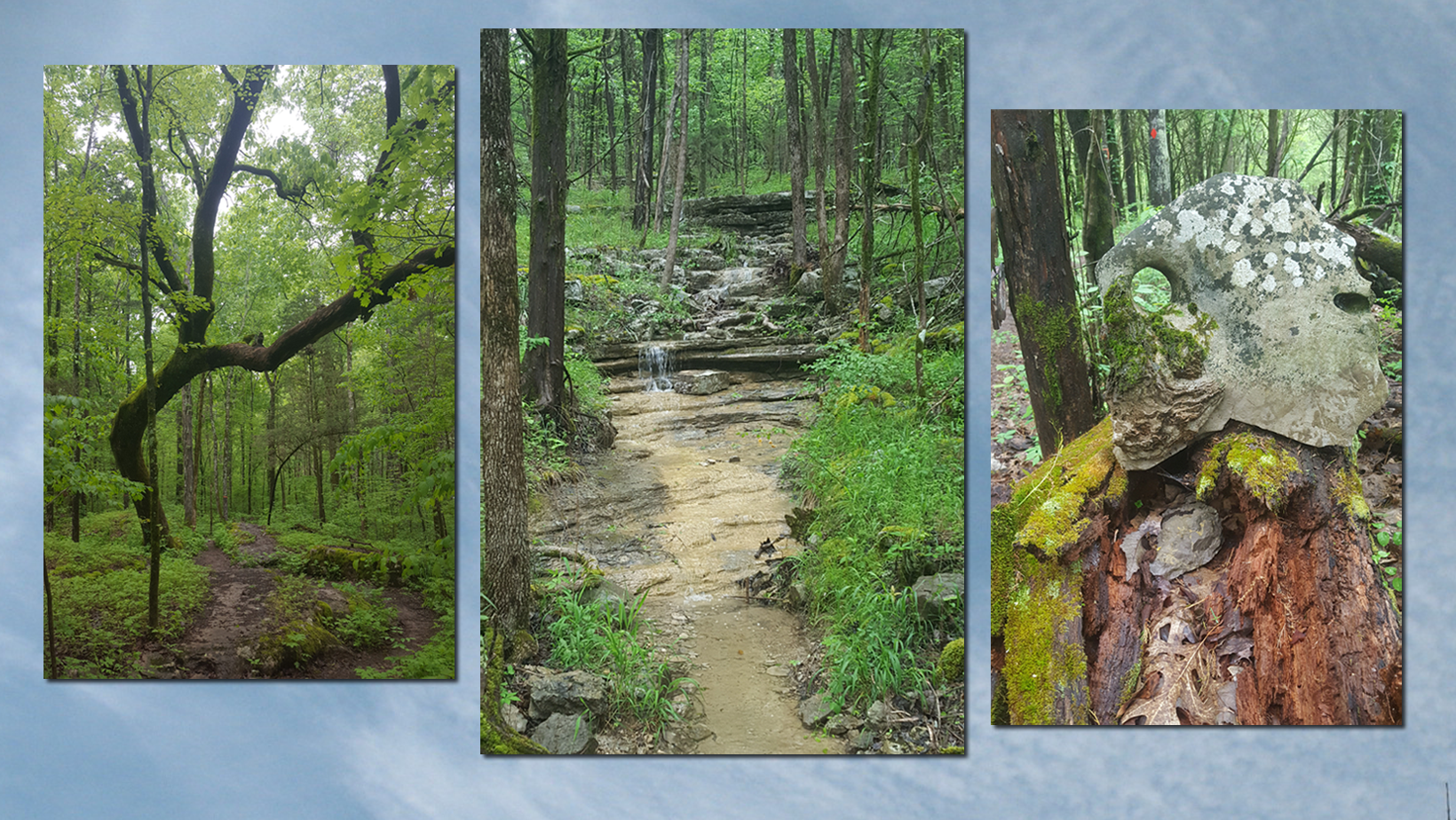
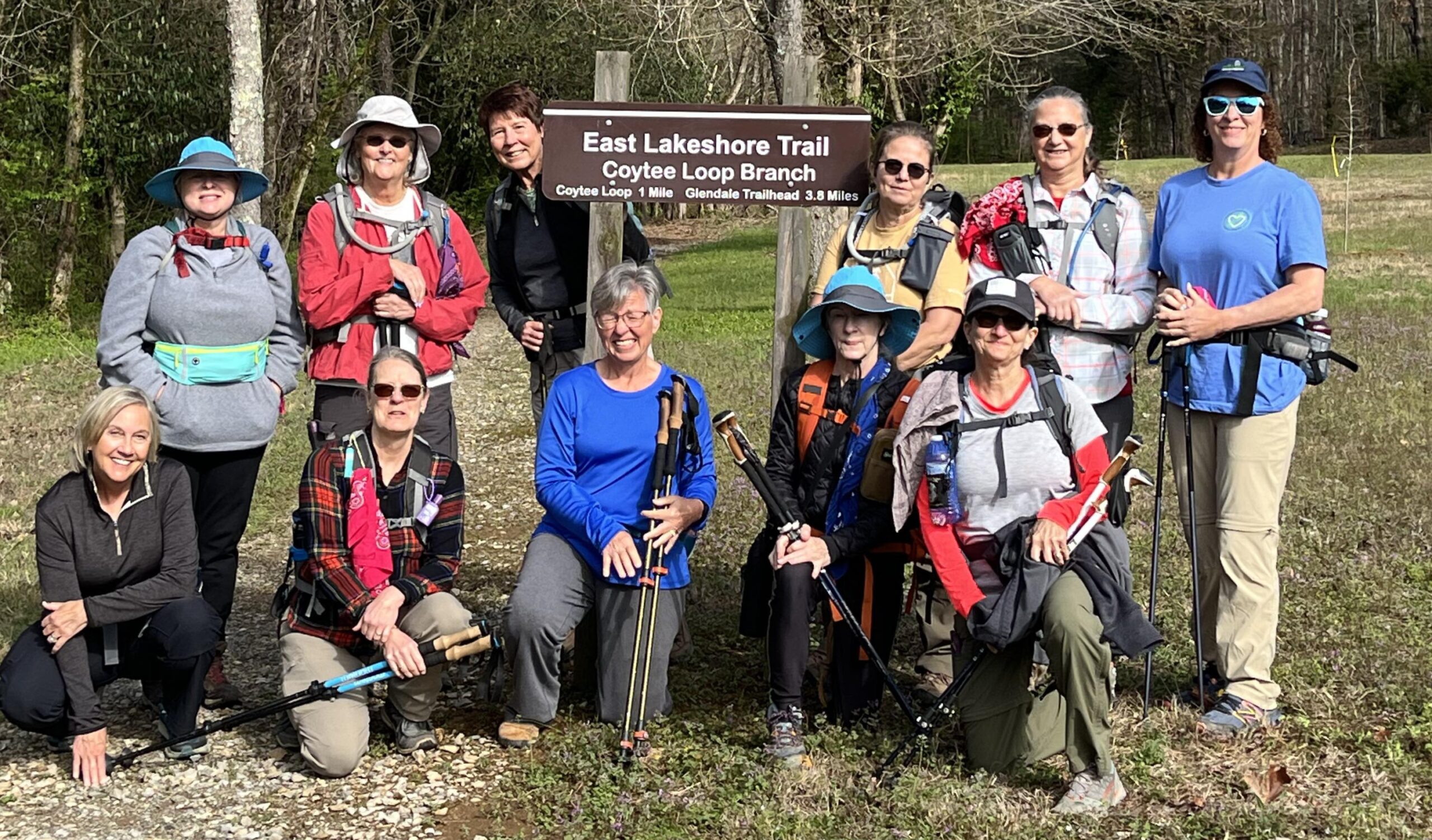
East Lakeshore Trail, Greenback, TN.

Joint hike with Upper Cumberland Chapter. Long Hike: East shore of Tellico from Lotterdale branch to Coytee 8.4 miles. Short hike to Stinging Creek 4.4 miles. Both long or short are easy to moderate miles with shuttle. WARNING LOTS OF POISON IVY. OPTION TO EAT AT LOCAL RESTAURANT. Carpool cost is $7. Sturdy hiking boots […]

Canceled Cancelled – Fiery Gizzard North and Dog Hole Trail

Thursday, May 2 – Fiery Gizzard North and Dog Hole Trail. South Cumberland State Park, near Tracy City, TN. 8.5-10 miles depending on how many overlooks and waterfalls we include and rated difficult. Early morning start, exact time determined closer to the hike date. All day and expect around 7 hours hiking. The Fiery Gizzard […]

Canceled Cancelled – Fiery Gizzard North and Dog Hole Trail

Thursday, May 2 – Fiery Gizzard North and Dog Hole Trail. South Cumberland State Park, near Tracy City, TN. 8.5-10 miles depending on how many overlooks and waterfalls we include and rated difficult. Joint hike with Murfreesboro chapter. Early morning start, exact time determined closer to the hike date. All day and expect around 7 […]

Tims Ford State Park Hike

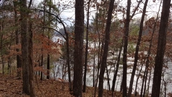
Thursday, May 2 – Tims Ford State Park, Winchester, TN.  Lost Creek Overlook Trail and a section of the Ray Branch Overlook Trail.  5 miles.  Easy.  Nice views of Tims Ford Lake while hiking over rolling hills in a mature hardwood forest.  Contact Joan Hartvigsen to register, jhartvigs@comcast.net or 931-636-2914. Meet at 9 am at […]

Jones Mill Trail

Jones Mill Trail Long Hunter State Park 9933 Barnett Rd, Mount Juliet, TN, United States

Long Hunter State Park 8 miles. Moderately strenuous for length. This is a hiker-friendly biking trail with little elevation change which features lake views, cedar glades and barrens, other types of terrain, and wildflowers. Bring plenty of water and snacks. We’ll meet at the Jones Mill trailhead for an 8:30 AM step-off. Register with Mark […]

Springfield Greenway Cancelled

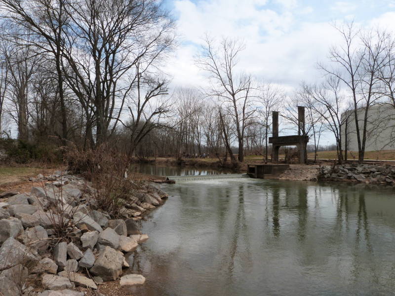
Hike Cancelled. Wednesday, May 8 – Springfield Greenway. 4.2 miles. Easy. Level and paved, mostly along Sulphur Fork Creek, 2.1 miles each way from the Garner Street Park trailhead, 200 North Garner St., Springfield, TN 37172 to J. Travis Price Park with its lake and historic log cabin. Good restrooms at both ends of trail. Dogs welcome. Lunch to follow at a […]

Prater Place and Hemlock Falls

Saturday, May 11 – Prater Place and Hemlock Falls Trail, Fall Creek Falls State Park Spencer, TN. 6 miles out and back rated moderate due to some rocky areas and creek crossings. Joint hike with the Highland Rim chapter. This trail has a total elevation gain of 649 ft and waterfalls, rock formations and caves. […]

Burch Reserve (Warner Park)

EDWIN WARNER PARK - BURCH RESERVEIn 2004, continuing the legacy of Luke Lea and brothers Percy andEdwin Warner, Friends of Warner Parks embraced an opportunity toacquire additional property to become park land. In partnership withMetro Parks and thanks to the generosity of the Lucius E. Burch IIIfamily and others, this extraordinary initiative significantlycontributed to the […]

Herb Parsons Lake

Herb Parsons Lake, Fisherville TN This is an easy 6-mile hike around the lake and through the woods. Meet at the lake parking lot and bring snacks and water. Registration required - at which time you will receive start time. Please include your phone number and email when registering. Rain will cancel hike.

Prater Place and Hemlock Falls

Saturday, May 11 – Prater Place and Hemlock Falls Trail, Fall Creek Falls State Park, Spencer, TN.  6 miles out and back.  Moderate due to some rocky areas and creek crossings. Total elevation gain of 649 ft.  Joint hike with the Murfreesboro Chapter.  This trail has everything:  waterfalls, rock formations, caves, creeks.  This is one […]

polygon(703 1, 703 1, 695 1, 694 4, 676 5, 668 5, 664 5, 638 7, 638 7, 620 8, 608 8, 567 10, 567 10, 551 10, 551 10, 530 12, 525 13, 525 13, 505 13, 503 13, 460 13, 459 13, 444 13, 419 12, 419 12, 417 12, 406 13, 377 13, 361 13, 343 12, 343 12, 326 11, 313 13, 297 12, 272 12, 268 12, 268 12, 250 13, 225 13, 220 13, 207 13, 207 10, 194 9, 189 9, 191 28, 155 27, 153 27, 128 26, 126 26, 84 26, 78 26, 73 26, 68 26, 68 43, 60 58, 60 58, 51 77, 55 87, 52 87, 51 87, 49 88, 49 88, 48 88, 40 103, 35 125, 15 135, 20 141, 20 141, 20 142, 21 166, 21 166, 21 166, 20 168, 10 174, 2 176, 0 179, 0 180, 50 182, 56 182, 81 182, 94 183, 94 183, 109 183, 125 183, 128 183, 162 183, 164 183, 178 183, 196 182, 196 182, 227 183, 260 183, 261 183, 292 184, 296 184, 336 183, 336 183, 374 183, 396 183, 407 183, 416 183, 424 182, 448 181, 448 181, 462 181, 465 181, 465 181, 478 180, 503 180, 505 157, 512 152, 521 152, 525 150, 527 147, 532 129, 532 129, 533 130, 556 117, 556 117, 557 117, 558 118, 570 117, 571 117, 586 107, 590 103, 590 101, 590 101, 614 91, 618 76, 622 75, 630 69, 635 64, 637 63, 639 62, 640 62, 641 63, 641 63, 642 65, 642 65, 651 70, 657 60, 673 51, 673 51, 685 55, 696 38, 697 36, 698 34, 702 30, 707 28, 707 28, 707 27, 708 29, 710 30, 711 30, 711 30, 713 29, 713 24, 715 3, 718 1)