Boiling Fork Trail

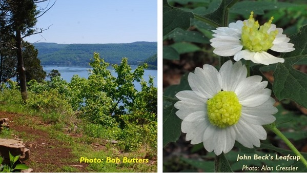
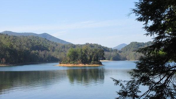
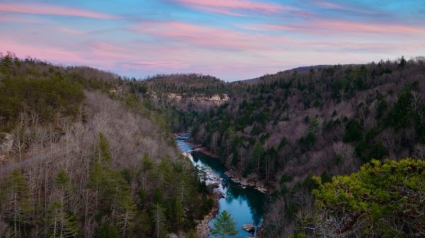
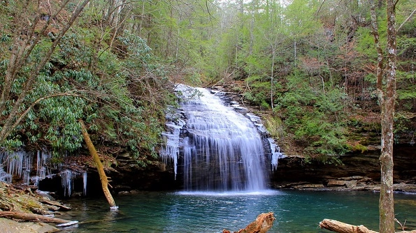
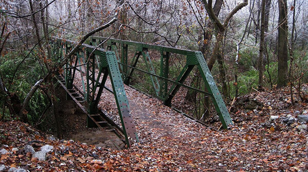
Sunday, March 17 – Boiling Fork Trail, Tims Ford State Park, 129 Fairview Campground Road, Winchester, TN.  Three mile Loop, easy.  This hike features many nice views of Tims Ford Lake, Devils Step Island and mature hardwood trees.  We will meet at 1:00 pm at the trailhead located in front of the entrance to Fairview […]
Little Cedar Mountain Trail

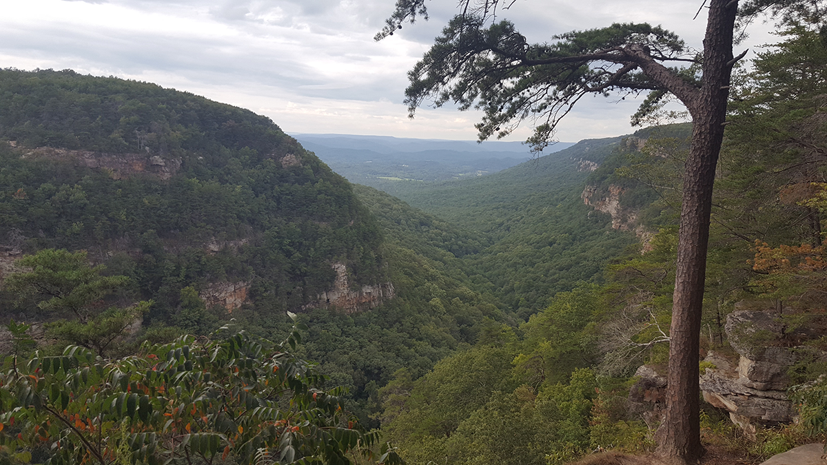
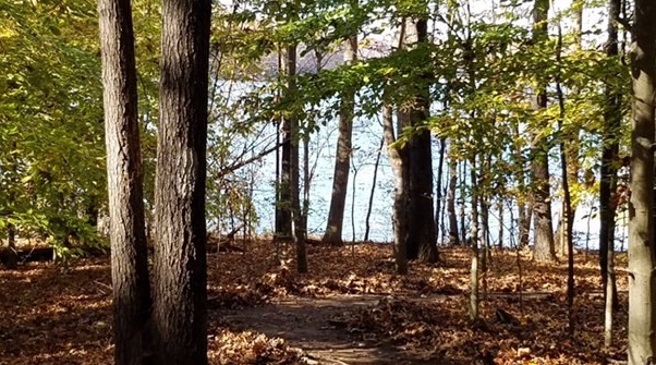
Tuesday, March 19 – Little Cedar Mountain Trail, TVA Small Wild Area, TVA Road, Jasper, TN.  3.2 miles loop, easy.  400 ft. elevation gain.  This trail hugs the western shoreline of the Tennessee River/Nickajack Lake as the tail-end of Walden Ridge is broken up in the Tennessee River Gorge and blends into the Sequatchie Valley.  […]

Lookout Tower W and Bird Mountain Trails Loop, Frozen Head State Park

Joint hike with Upper Cumberland Chapter. Long Hike: From the Big Cove Trailhead hike up Lookout Tower West returning on the Bird Mountain Trail back to Big Cove. 7 mile moderate to strenuous because of elevation change. Short Hike: 5 mile moderate in/out on the Lookout Tower West Trail. Don’t forget tick/bug spray and sunscreen. […]

Mammoth Cave National Park

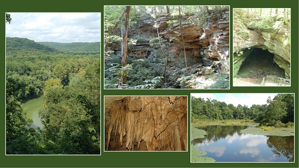
4.3-mile hike in Mammoth Cave National Park rated MODERATE with a 564 ft. elevation gain. Our hike will begin at the visitor center parking lot, near the picnic area to the Green River Bluff Trail to the Echo River Spring Trail, the Mammoth Dome Sink Trail and finally the Heritage Trail back to the visitors […]

Hidden Passage Trail, Pickett State Park – Jamestown,TN. 

Bring water shoes just in case the creek is deep to hike a side trail to a waterfall. Short Hike: 6 mi easy to moderate loop to Stevenson Overlook returning to the Group Camp on an old road. Long Hike: 8.3 mi moderate to strenuous loop to Stevenson overlook, side trail to tunnel plus side […]

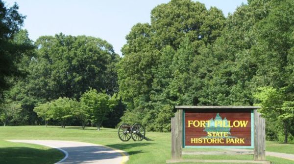
Fort Pillow State Park

This will be a joint hike with Jackson Chapter.We will hike the 7.5 mile Red Trail which is rated strenuous by West Tennessee standards due to some very steep hills. Early in the hike we visit the site of the historic fort, scene of a well-known Civil War battle. We will have lunch overlooking Fort […]

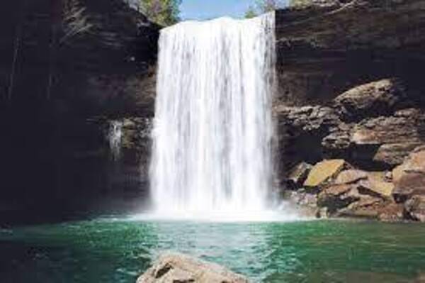
Savage Gulf, Greeter Falls, Altamont, TN

 5.2 miles, 550 ft elevation change.  Moderate.  Savage Gulf West Trailhead (Greeter Falls), 550 Greeter Falls Road, Altamont, TN. This trail combination features Upper and Lower Greeter Falls and Boardtree Falls and a walk to one of the best views in the natural area, Big Bluffs Overlook.  From Big Bluff Overlook we will see two panoramic vistas.  To the left […]

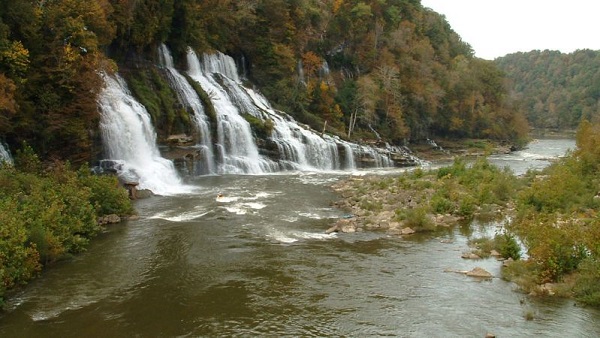
Rock Island State Park

Saturday, March 23 — Rock Island State Park: Collins River Nature Trail, Eagle Trail (with Blue Hole Trail), & Bluff Trail (with optional Downstream Trail), approximately 6.5 to 8 miles, about 680’ el. gain, easy to moderate. This is a joint hike with the Scenic City Chapter, Tim Booth.   This park is located at the […]

East Tellico Lake from Marina/ Antioch Trailhead to Coytee Loop Trailhead

East Tellico Lake from Marina/ Antioch Trailhead to Coytee Loop Trailhead 8.1 easy to moderate miles with shuttle. Option for short hike from Antioch to Glendale Parking 3.3 miles.Carpool cost is $7. Bring lunch, snacks, (electrolytes) water, bug spray and sunscreen. Persons 18 and over, members and non-members welcome. Minors must be accompanied by an […]

CT Turkey Creek to Devil’s Breakfast Table, Catoosa WMA, Hebbetsburg.

Joint hike with Upper Cumberland Chapter. The trail is difficult due to the elevation change and lots of rock steps.   SHORT HIKE: 4-5 mile in/out hike. From Turkey Creek the trail proceeds along Daddy's Creek gorge bluff under sheer bluffs. The last mile, the trail decends down into the canyon. There are a couple […]

Dog Cove to Dry Creek Falls – Sparta

Thursday, April 4 – Dog Cove to Dry Creek Falls. Near Sparta. 7 miles rated moderate out and back with an elevation gain of 1,000 feet. We will pass Meditation Rock on the way to the two-tiered Dry Creek waterfall. Bring lunch, water and hiking poles. Meet at the Dog Cove trailhead and parking area […]

Lucius Burch Natural Area – North

The hike will be approximately 5.75 miles and take between 2 1/2 and 3 hours. The terrain is relatively flat with a few steep ravine crossings. Bring water and a snack. Hiking boots are recommended especially if we have had recent rain. Rain will cancel hike. We will meet in the unpaved parking area on […]

polygon(703 1, 703 1, 695 1, 694 4, 676 5, 668 5, 664 5, 638 7, 638 7, 620 8, 608 8, 567 10, 567 10, 551 10, 551 10, 530 12, 525 13, 525 13, 505 13, 503 13, 460 13, 459 13, 444 13, 419 12, 419 12, 417 12, 406 13, 377 13, 361 13, 343 12, 343 12, 326 11, 313 13, 297 12, 272 12, 268 12, 268 12, 250 13, 225 13, 220 13, 207 13, 207 10, 194 9, 189 9, 191 28, 155 27, 153 27, 128 26, 126 26, 84 26, 78 26, 73 26, 68 26, 68 43, 60 58, 60 58, 51 77, 55 87, 52 87, 51 87, 49 88, 49 88, 48 88, 40 103, 35 125, 15 135, 20 141, 20 141, 20 142, 21 166, 21 166, 21 166, 20 168, 10 174, 2 176, 0 179, 0 180, 50 182, 56 182, 81 182, 94 183, 94 183, 109 183, 125 183, 128 183, 162 183, 164 183, 178 183, 196 182, 196 182, 227 183, 260 183, 261 183, 292 184, 296 184, 336 183, 336 183, 374 183, 396 183, 407 183, 416 183, 424 182, 448 181, 448 181, 462 181, 465 181, 465 181, 478 180, 503 180, 505 157, 512 152, 521 152, 525 150, 527 147, 532 129, 532 129, 533 130, 556 117, 556 117, 557 117, 558 118, 570 117, 571 117, 586 107, 590 103, 590 101, 590 101, 614 91, 618 76, 622 75, 630 69, 635 64, 637 63, 639 62, 640 62, 641 63, 641 63, 642 65, 642 65, 651 70, 657 60, 673 51, 673 51, 685 55, 696 38, 697 36, 698 34, 702 30, 707 28, 707 28, 707 27, 708 29, 710 30, 711 30, 711 30, 713 29, 713 24, 715 3, 718 1)