**CANCELED**Hiwassee River Float Trip CANCELED

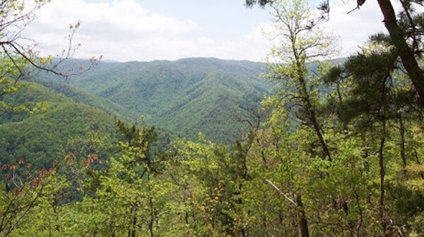
Tuesday, July 18 — Hiwassee River Float Trip. We will rent inflatable kayaks, aka “duckies,” and float/paddle down the beautiful Hiwassee River, which is an easy whitewater river flowing out of the mountains east of Cleveland. No experience is required. A great trip for a hot summer’s day! Costs: $40 for a 1-person duckie, $60 for a […]

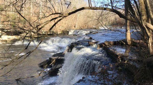
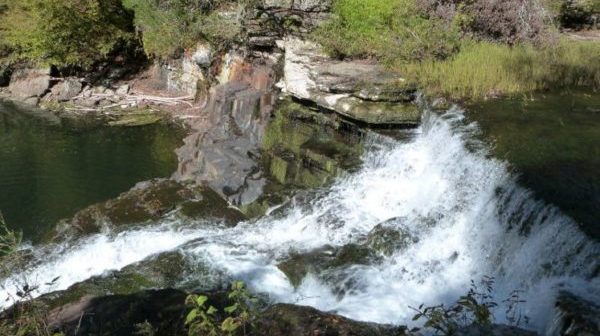
Coker Creek Falls

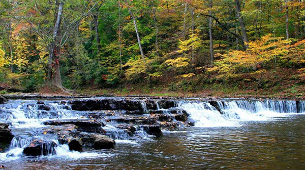
Saturday, July 22 — Coker Creek Falls, moderate, 590’ el. gain, 6.5 miles, with an optional second hike to Turtletown Falls Trail for a total of 10.3 miles, 1160’ elevation gain. Great hikes along rowdy creeks, but possibly with several blowdowns to get over, through, or around. Check the weather forecast and choose appropriate layers; wear […]

Fuggett Branch

Tuesday, August 22 — Durham Mine Trails to Fuggett Branch, around 5 miles, moderate, mostly a loop. We will take a gentle walk along Chalkeye Trail to get to E Fuggett Trail and down to the creek, passing rickety cliffs and investigating ruins from the mining era. Then we’ll get back to the top first via […]

Lookout Mountain: Bluff Trail

Saturday, August 26 — Lookout Mountain: Bluff Trail and Upper Truck Trail, 8.7 miles, 1300’ el. gain, moderate, loop. Shorter alternatives are to veer off Bluff Trail to Sunset Rock or go on to Point Park for either a 3-mile or a 4-mile hike; cars can be left at these locations. All of these hikes […]

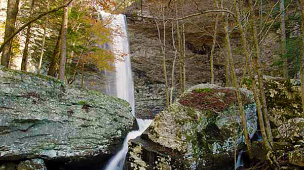
Polly Branch Falls CANCELLED (Illness)

Saturday, September 30 — Polly Branch Falls Trail near Sparta. Moderate, 9.4 miles, 1100’ el. gain, loop. This hike includes two waterfalls, a cascade, and the headwaters of the Caney Fork River. The trail may be overgrown in places, but it is an interesting hike! Bring lunch and the other summer essentials. For carpooling/caravanning, meet […]

CANCELLED Woodcock Climbing Area

Tuesday, October 31 — Trails at Woodcock Climbing Area, around 3 miles, moderate, about 400’-500’, lollipop. This relatively new climbing area, not far from Dunlap, was developed by the Southeastern Climbers Coalition, which also developed Denny’s Cove. While the primary purpose of the trails is to provide cliff access to climbers, they are also open […]

Aetna Mountain Trails

Tuesday, October 31 — Aetna Mountain Green and Blue Loops, easy/moderate, about 3.5 miles, about 500’ el. gain. These are two relatively new trails on Aetna Mountain, which is next to Raccoon Mountain. The trails are in very good condition, with very few rocks and roots and with gradual ascents and descents. They take us […]

CT: Signal Point to Suck Creek Road

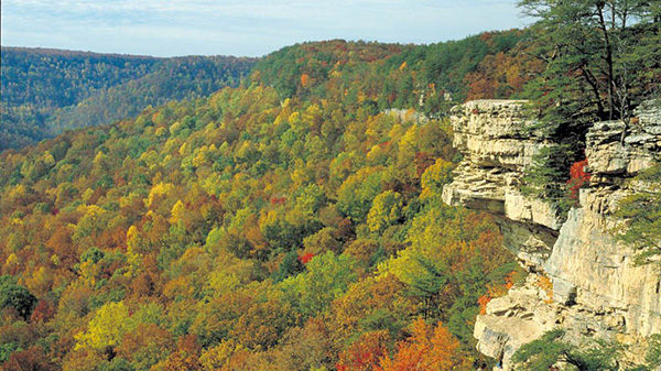
Saturday, November 4 — Cumberland Trail: Signal Point to Suck Creek Road, strenuous, 8.4 miles. Multiple fine overlooks of the Tennessee River Gorge and other gorges, intriguing rock formations, and (we hope) gorgeous fall scenery! Shuttle required. For carpooling/caravanning, meet at Food City on Signal Mountain Road, in the near back corner of the parking […]

Laurel Falls+Natural Bridge CANCELLED: Road closed until 2024

Saturday, December 30 — Laurel Falls, Bryan Overlook, and a hidden natural bridge, about 8 miles, moderate, about 900’ el. gain, out-and-back. We’ll walk by interesting remnants of mining activity along wild and wooly Richland Creek and take switchbacks to Laurel Falls, which is almost always impressive. We’ll then head up a steep trail to […]

CT: Board Camp Creek

Board Camp Creek, about 8 miles, moderate. Short shuttle. We'll start this hike at the Soddy Gulf trailhead in Soddy-Daisy. A flat one-mile walk along Big Soddy Creek takes us to Board Camp Creek (what a weird name!), which we cross to get to the Cumberland Trail. This section of the CT roughly follows Board […]

Collins Gulf – Cancelled, rescheduled for March

Saturday, January 20 —Collins Gulf in Savage Gulf State Natural Area, 12.3 miles, strenuous with rocks, el. gain 1700’. We will head to the Collins Gulf Trail, then down down down to the Collins River. We’ll follow along the river until we swing around to the east and make our way to the Stagecoach Road, then […]
Graysville Mountain CANCELLED due to all-day rain and thunderstorms

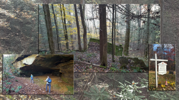
Saturday, January 27 — Graysville Mountain,9 miles, moderate with rocky terrain, 900’ el. gain. Shuttle required. On this section of the Cumberland Trail, we will hike through the woods to the top of Graysville Mountain, then continue all the way to Hwy 30, with the last bit just recently completed. Highlights include an old mining area, […]

polygon(703 1, 703 1, 695 1, 694 4, 676 5, 668 5, 664 5, 638 7, 638 7, 620 8, 608 8, 567 10, 567 10, 551 10, 551 10, 530 12, 525 13, 525 13, 505 13, 503 13, 460 13, 459 13, 444 13, 419 12, 419 12, 417 12, 406 13, 377 13, 361 13, 343 12, 343 12, 326 11, 313 13, 297 12, 272 12, 268 12, 268 12, 250 13, 225 13, 220 13, 207 13, 207 10, 194 9, 189 9, 191 28, 155 27, 153 27, 128 26, 126 26, 84 26, 78 26, 73 26, 68 26, 68 43, 60 58, 60 58, 51 77, 55 87, 52 87, 51 87, 49 88, 49 88, 48 88, 40 103, 35 125, 15 135, 20 141, 20 141, 20 142, 21 166, 21 166, 21 166, 20 168, 10 174, 2 176, 0 179, 0 180, 50 182, 56 182, 81 182, 94 183, 94 183, 109 183, 125 183, 128 183, 162 183, 164 183, 178 183, 196 182, 196 182, 227 183, 260 183, 261 183, 292 184, 296 184, 336 183, 336 183, 374 183, 396 183, 407 183, 416 183, 424 182, 448 181, 448 181, 462 181, 465 181, 465 181, 478 180, 503 180, 505 157, 512 152, 521 152, 525 150, 527 147, 532 129, 532 129, 533 130, 556 117, 556 117, 557 117, 558 118, 570 117, 571 117, 586 107, 590 103, 590 101, 590 101, 614 91, 618 76, 622 75, 630 69, 635 64, 637 63, 639 62, 640 62, 641 63, 641 63, 642 65, 642 65, 651 70, 657 60, 673 51, 673 51, 685 55, 696 38, 697 36, 698 34, 702 30, 707 28, 707 28, 707 27, 708 29, 710 30, 711 30, 711 30, 713 29, 713 24, 715 3, 718 1)