October 25 – October 27
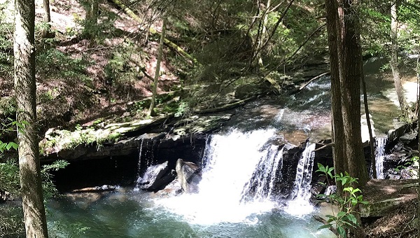
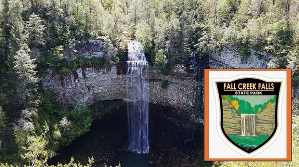
October 25 – 27 – TTA Annual Meeting. Fall Creek Falls State Park. Spencer, TN. Hosted by the Highland Rim and Murfreesboro Chapters. Three days of hikes, speakers and special events. Come join the fun! Note: All hikers and hike leaders must be registered participants.
See the Tennessee Trails Website or the August TTA Newsletter for all the weekend details! Registration, meals, lodging, hikes, program, general membership meeting, featured speakers, meeting apparel, and fundraising.
- Online Registration Form
- Printable Mail-In Registration Form
- Printable Program & Daily Schedule
- Printable Detailed List of Hikes
- Cumberland Caverns Discovery Tour / Apple Brandy Hike
Contact Joan Hartvigsen for more information and to register for the pontoon boat ranger led tours and the Cumberland Caverns Tour. jhartvigs@comcast.net or 931-636-2914.
Help us Raise Funds for the Evan Means Grant Program
Solicitation Letter Item Receipt Donated Item Form
Joan Hartvigsen
931-636-2914
jhartvigs@comcast.net