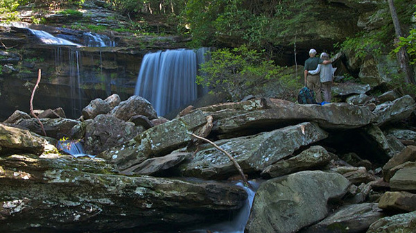
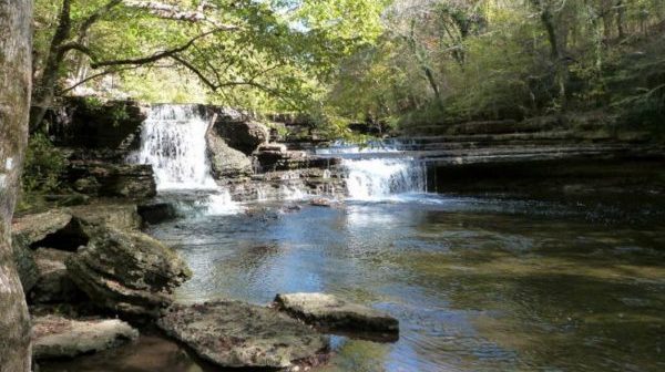
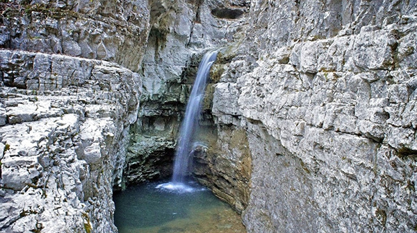
Fenton Forest

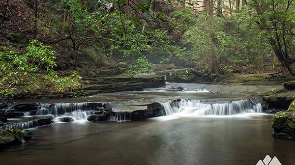
Tuesday, November 12: Fenton Forest on Bauxite Ridge, near Ooltewah TN: Sabbath Trail, Forest Lane and Big Forest Trail, about 4 miles, easy to moderate, loop, approx. 400’ el. gain. This is a great hike for beginners or those who have not hiked with us for a while (and even those who have!). We will start […]

Fort Mountain – DATE CHANGE

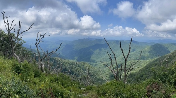
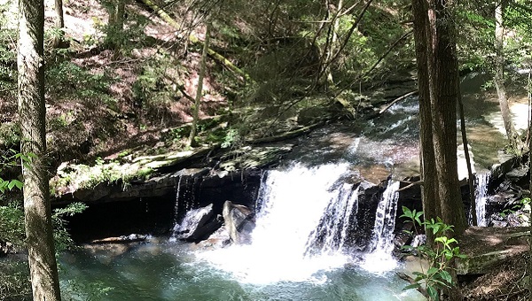
Wednesday, November 20 — Fort Mountain, GA:  Cool Springs and Mill Creek Falls Loop, 5.1 miles, moderate. Our hike will include a fine overlook, a lovely creek and waterfalls, and a pleasant walk in the woods. If we are lucky, the autumn leaves may still be putting on a show. Check the weather forecast within a day of the […]

Ozone Falls to Black Mountain

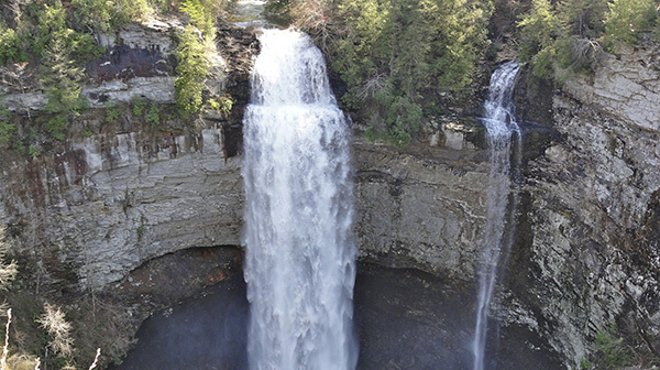
Saturday, November 23 — Cumberland Trail: Ozone Falls Section, 7 miles, 1323’ el. gain, point-to-point, strenuous. The elevation gains occur as we extract ourselves from several creek gorges and then at the end of the hike, when we go up to the top of Black Mountain. The shuttle takes 20 minutes. From the CTC: “he […]

Cascade Trail

Tuesday, November 26 — Cascade Trail in Dalton GA, 4 miles, out-and-back, 846’ el. gain, moderate. This pleasant trail winds its way through the woods behind the west side of Dalton State College.  It meanders up and down the lower side of the ridge that has a convenient break to the north, through which I-75S makes its way […]

CT: Daddys Creek Section

Saturday, November 30 — Daddy’s Creek Section of the Cumberland Trail, near Crab Orchard TN, 7.2-7.5 miles, about 1,100’ el. gain, moderate. We will hike this trail south to north, from Hebbertsburg Road to East Keyes Road. This requires a short shuttle. The trail bobbles in, around, and up and down gorges carved out by […]

Covenant College Trails

Tuesday, December 3 — Covenant College Trails near Lookout Mountain GA, about 4.5 miles, easy/moderate. A shorter option is also available. This private college has eight interconnecting trails wandering through pleasant woods on the southern side of its campus. The trail map looks like a spilled jar of giant gummy worms! We’ll manage to do all these […]

Cumberland Trail. CANCELLED

Saturday, December 7 — Cumberland Trail near Chattanooga, Pot Point Loop, 11.7 miles, difficult due to distance. This trail in Prentice Cooper State Forest marks the southern end of the Cumberland Trail. We will go along the Grand Canyon of the Tennessee River, where this beautiful river cuts a gorge through the Cumberland Plateau. We will enjoy the […]

Snoopers Rock to Natural Bridge

Saturday, December 7 – Natural Bridge via Snoopers Rock, Prentice Cooper State Forest, 6.2 miles out-and-back, with an optional spur of 1.4 miles down and back to Blowing Wind Falls on the Ritchie Hollow Trail, moderate with ups and downs. We will start at Snoopers Rock, a large, wide-open outcrop overlooking the Grand Canyon of […]

Mobray Pike to Hotwater Road

Tuesday, December 10 — Cumberland Trail:  Mobray Pike to Hotwater Road/Little Soddy Trailhead, near Soddy Daisy, 4.9 miles, easy/moderate. Highlights include spectacular views of the valley from the escarpment, boulders and rock formations, seams of coal, and at the northern end, a historic walk through the remnants of one of the oldest tunnel coal-mining operations in Tennessee. Of […]

Signal Mountain: Rainbow Lake and Beyond

Saturday, December 14 — Signal Mountain trails, up to three options: (1) long hike of 8-10 miles, moderate; (2) medium hike of around 4-5 miles, easy/moderate; (3) short 2.2-mile hike, 348’ el. gain, easy. A short shuttle is required for the medium hike. We will all start at the Rainbow Lake trailhead on Ohio Avenue and hike to Rainbow […]

Tims Ford

Tuesday, December 17 – Tims Ford State Park Trails, Winchester TN, short hike 3.4 miles, easy, or longer hike, 7.2 miles, easy to moderate. We will combine the Marble Plains Overlook Trail, Marble Plains Loop Trail, and the Lost Creek Overlook Trail for a beautiful hike along the shores of Tims Ford Lake, through the forest, […]

Soddy Creek Gorge

Saturday, December 21 — Cumberland Trail: part of Soddy Creek Gorge Section (North) near Soddy Daisy, about 7 miles, moderately strenuous due to rocks and hiking into and out of gorges. Optional shorter hike, about 5 miles, moderate, exiting by the climbers’ parking lot. Short shuttle. Our hike will begin at the Little Soddy trailhead on Hotwater […]

polygon(703 1, 703 1, 695 1, 694 4, 676 5, 668 5, 664 5, 638 7, 638 7, 620 8, 608 8, 567 10, 567 10, 551 10, 551 10, 530 12, 525 13, 525 13, 505 13, 503 13, 460 13, 459 13, 444 13, 419 12, 419 12, 417 12, 406 13, 377 13, 361 13, 343 12, 343 12, 326 11, 313 13, 297 12, 272 12, 268 12, 268 12, 250 13, 225 13, 220 13, 207 13, 207 10, 194 9, 189 9, 191 28, 155 27, 153 27, 128 26, 126 26, 84 26, 78 26, 73 26, 68 26, 68 43, 60 58, 60 58, 51 77, 55 87, 52 87, 51 87, 49 88, 49 88, 48 88, 40 103, 35 125, 15 135, 20 141, 20 141, 20 142, 21 166, 21 166, 21 166, 20 168, 10 174, 2 176, 0 179, 0 180, 50 182, 56 182, 81 182, 94 183, 94 183, 109 183, 125 183, 128 183, 162 183, 164 183, 178 183, 196 182, 196 182, 227 183, 260 183, 261 183, 292 184, 296 184, 336 183, 336 183, 374 183, 396 183, 407 183, 416 183, 424 182, 448 181, 448 181, 462 181, 465 181, 465 181, 478 180, 503 180, 505 157, 512 152, 521 152, 525 150, 527 147, 532 129, 532 129, 533 130, 556 117, 556 117, 557 117, 558 118, 570 117, 571 117, 586 107, 590 103, 590 101, 590 101, 614 91, 618 76, 622 75, 630 69, 635 64, 637 63, 639 62, 640 62, 641 63, 641 63, 642 65, 642 65, 651 70, 657 60, 673 51, 673 51, 685 55, 696 38, 697 36, 698 34, 702 30, 707 28, 707 28, 707 27, 708 29, 710 30, 711 30, 711 30, 713 29, 713 24, 715 3, 718 1)