Frozen Head State Park

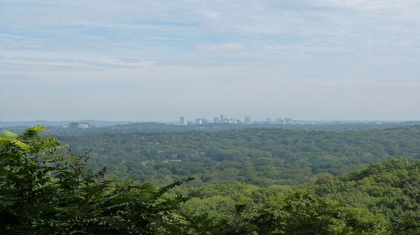
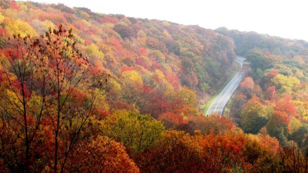
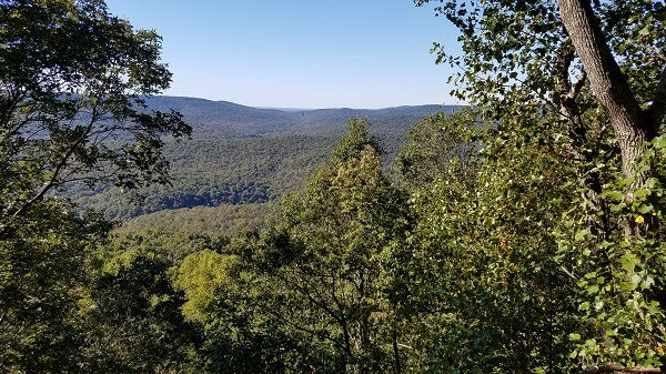
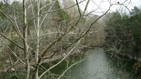
Saturday, September 21 — Frozen Head State Park, 9 miles, moderate, 1500-2000’ el. gain, out-and-back. Join us for a beautiful hike and learn some of the park’s fascinating history, including a prison break by one of America’s most notorious killers and an ultramarathon inspired by the manhunt! On this hike, we will see two waterfalls and […]

Benton Falls

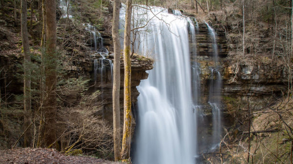
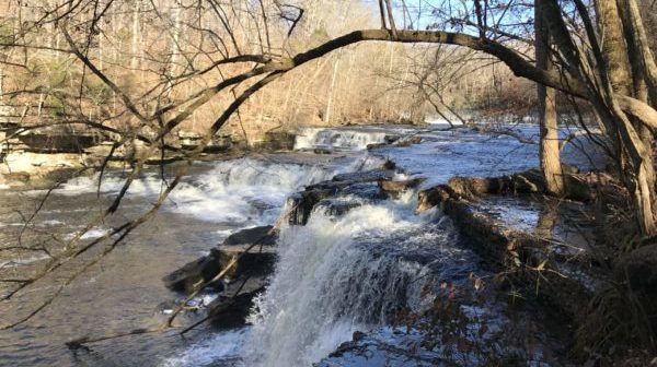
Tuesday, September 24 — Benton Falls and Slick Rock Loop Trail, 4.6 miles, easy to moderate, loop, 544’ el. gain. On Chilhowee Mountain near the Ocoee River, we’ll start by McKamy Lake and proceed about 1.5 miles down to Benton Falls, where we will make a steep but short descent into the small gulch formed […]

Rocky Ridge Trail

Saturday, September 28 — Rocky Face Ridge Trail, near Dalton GA. SHORTER HIKE: up the ridge on switchbacks, then along the ridge to Buzzard’s Roost, out-and-back, about 6 miles, moderate, el. gain less than 1,000’. LONGER HIKE: loop trail including Buzzard’s Roost, 11 miles, moderately strenuous, el. gain 1,318’. Rocky Face Ridge Park is an almost […]

Window Cliffs REPLACED w/ WEST RIM

Tuesday, October 1 — Window Cliffs Trail REPLACED due to wet and muddy conditions. REPLACEMENT: West Rim Trail, Cloudland Canyon State Park GA near Trenton, 4.7 miles, 744’ el. gain with a few short steep climbs, moderate. The path of Hurricane Helene veered mostly east of us, so the park is open. The weather will […]

Cherokee National Forest

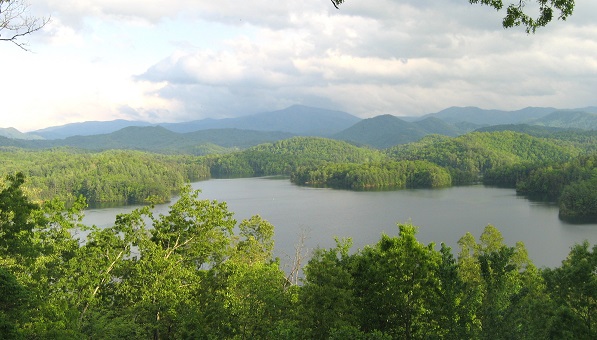
Saturday, October 5 — Brush Creek Trail in the Cherokee National Forest, 7 miles, easy to moderate. We’ll start at Boyd Gap, with views of Big Frog Mountain and the shores of Ocoee Lake. Check the weather forecast within a day of the hike, as earlier forecasts can change dramatically. Choose appropriate layers; wear hiking shoes or […]
Sewanee Perimeter Trail

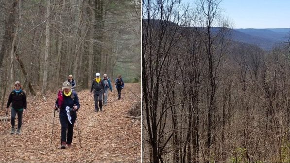
Tuesday, October 8 — Sewanee Perimeter Trail from the Memorial Cross to Bridal Veil Falls, moderate, in and out, 4.6 miles, el. gain 672’. Longer option: continue past the falls to the intersection with Lake Cheston trail for a total of 6.2 miles. Most of the gain is on the return. The trail is scenic with no […]

Signal Mountain Trails

Saturday, October 12 — Signal Mountain: Bee Branch, Orange, Blue, and Yellow Trails, 6-8 miles, moderate. Short shuttle. On this hike we will check out a bunch of trails that wander from the edge of the Old Town section of the town of Signal Mountain into Shackleford Ridge Park, off Shackleford Ridge Road and near […]

South Chickamauga Creek Hike

Tuesday, October 15 — NOTE TUESDAY HIKE LOCATION CHANGE We will be walking a portion of The South Chickamauga Creek Greenway in Chattanooga beginning at Sterchi Farms trailhead and heading south. This stretch of the greenway follows the creek with a walk through an oak forest, under an active railroad, and up elevated boardwalks.  This will […]

Raccoon Mountain Hike

Saturday, October 19 — Raccoon Mountain. We will start at Laurel Point and do a loop on the River Gorge trail, Megawatt to the Visitor Center and then back to the start. It will be about 8.5, moderate with rolling hills & some rocks & overlooks. Check the weather forecast and choose appropriate layers; wear […]

$2.00

Keown Falls & Johns Mountain

Tuesday, October 22 — Johns Mountain and Pinhoti Loop Trail, 5.0 miles, moderate, 1,023’ el. gain. This trail is part of the Chattahoochee-Oconee National Forest. As we hike along this beautiful trail, we will reach the top of the mountain ridge at the Johns Mountain Lookout Tower. Enjoy our walk along this ridge, with its […]

Chattanooga National Cemetery

Tuesday, October 29 — Chattanooga National Cemetery History Walk, 3 to 5 miles, easy, pavement and grass, some climbing is required. This property was vital to the battles for Chattanooga. Due to its location between Missionary Ridge and Lookout Mountain, General U. S. Grant chose it for his headquarters. We will see many monuments recognizing […]

Snow Falls

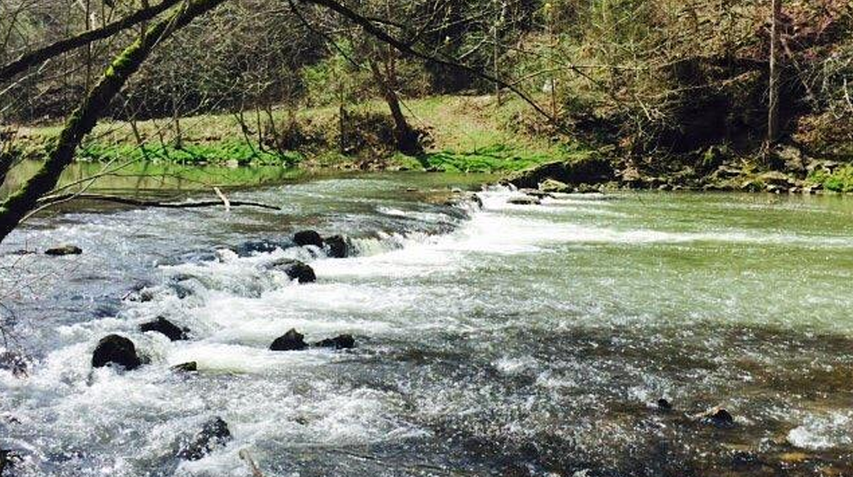
Saturday, November 2 — Snow Falls in the Laurel/Snow SNA, Dayton TN, out-and-back, about 10 miles,1328’ el. gain., rocky, moderate/strenuous. The first part of our hike is a pleasant stroll along Richland Creek, where we can admire its Class III-IV rapids (assuming it starts raining again in our area), along with scattered remnants of coal mining operations. […]

polygon(703 1, 703 1, 695 1, 694 4, 676 5, 668 5, 664 5, 638 7, 638 7, 620 8, 608 8, 567 10, 567 10, 551 10, 551 10, 530 12, 525 13, 525 13, 505 13, 503 13, 460 13, 459 13, 444 13, 419 12, 419 12, 417 12, 406 13, 377 13, 361 13, 343 12, 343 12, 326 11, 313 13, 297 12, 272 12, 268 12, 268 12, 250 13, 225 13, 220 13, 207 13, 207 10, 194 9, 189 9, 191 28, 155 27, 153 27, 128 26, 126 26, 84 26, 78 26, 73 26, 68 26, 68 43, 60 58, 60 58, 51 77, 55 87, 52 87, 51 87, 49 88, 49 88, 48 88, 40 103, 35 125, 15 135, 20 141, 20 141, 20 142, 21 166, 21 166, 21 166, 20 168, 10 174, 2 176, 0 179, 0 180, 50 182, 56 182, 81 182, 94 183, 94 183, 109 183, 125 183, 128 183, 162 183, 164 183, 178 183, 196 182, 196 182, 227 183, 260 183, 261 183, 292 184, 296 184, 336 183, 336 183, 374 183, 396 183, 407 183, 416 183, 424 182, 448 181, 448 181, 462 181, 465 181, 465 181, 478 180, 503 180, 505 157, 512 152, 521 152, 525 150, 527 147, 532 129, 532 129, 533 130, 556 117, 556 117, 557 117, 558 118, 570 117, 571 117, 586 107, 590 103, 590 101, 590 101, 614 91, 618 76, 622 75, 630 69, 635 64, 637 63, 639 62, 640 62, 641 63, 641 63, 642 65, 642 65, 651 70, 657 60, 673 51, 673 51, 685 55, 696 38, 697 36, 698 34, 702 30, 707 28, 707 28, 707 27, 708 29, 710 30, 711 30, 711 30, 713 29, 713 24, 715 3, 718 1)