Canceled Hiking The Walls of Jericho–canceled. Click on hike for more details.

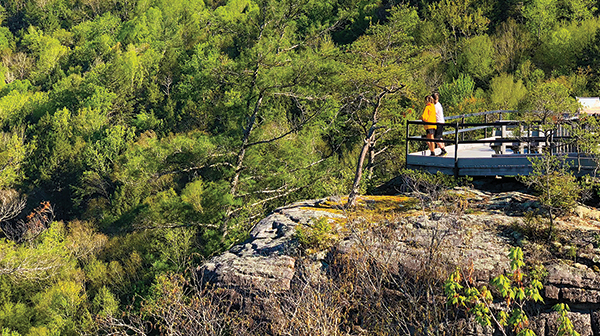
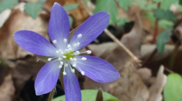
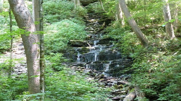
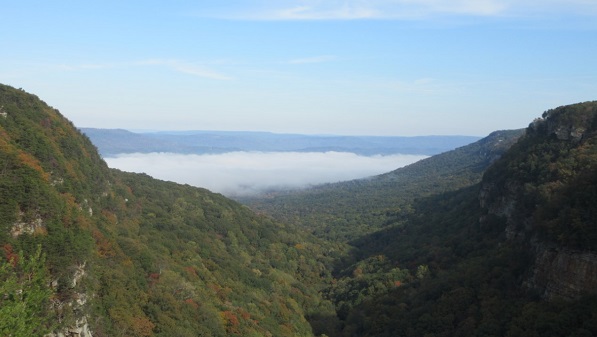
The Walls of Jericho, Winchester, TN.  7.75 miles.  Strenuous.  Straddling the Tennessee-Alabama state line, this challenging 7+ mile hike, with 1,600 ft elevation gain/loss, explores the headwaters of the Paint Rock River.  We will start at the Tennessee trailhead.  There should be wonderful wildflowers and water features. You might want to pack your water shoes.  Email […]

Fort Pillow State Park

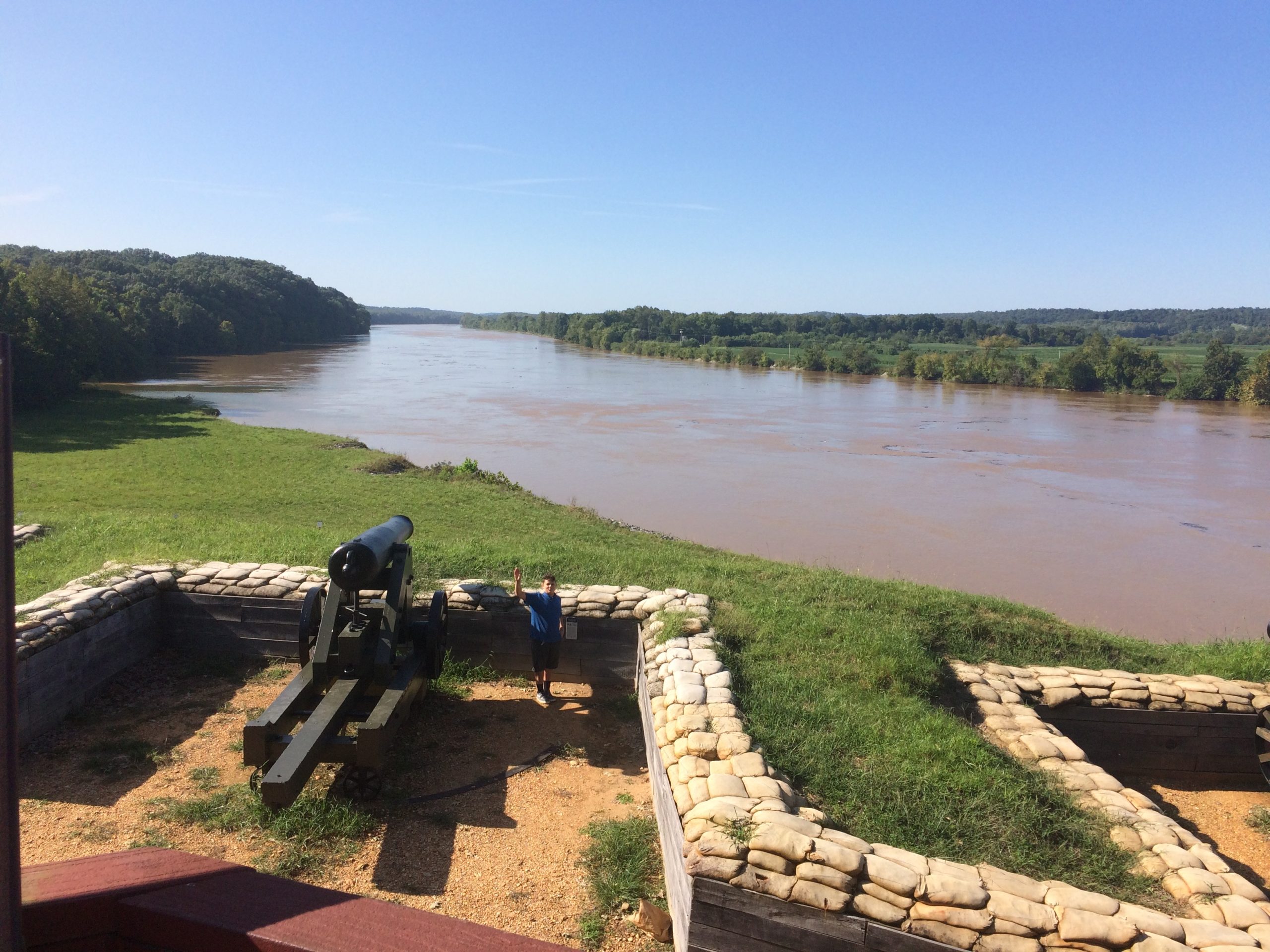
8 mile hike. Strenuous hike. Joint hike with the Memphis chapter. We will hike the red Trail, an eight mile loop. The trail begins at the visitor's center. Early in the hike, we visit the site of the historic fort, a scene of a well-known Civil War battle. We will have lunch overlooking the Fort […]

Fiery Gizzard Trail

Firey Gizzard Trail,11.5 miles, add 1.0 mile if we go to Ravens Point. A car shuttle is required. This is an overnight hike. Check with hiking leader for details.The trail is difficult due to length, rocky footing and steep elevation changes. It is on natural turf through the woods. There is a 270-degree panoramic view […]

GSMNP Middle Prong to Indian Flat Falls. Gatlinburg, TN

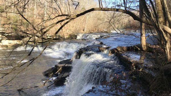
Joint hike with Upper Cumberland Chapter. Long Hike: 7.4 miles in and out with approximately 1,000 feet elevation gain. You'll see a gorgeous waterfall, cascades and history galore. This trail was a former railroad bed for a lumber camp. It still has the remains of a rusting Cadillac at mile 2.0. At 3.7 miles we'll […]

CT: Board Camp Creek

Saturday, March 25 — Cumberland Trail: Board Camp Creek, 7-8 miles, moderate. Short shuttle required. We’ll start at the Heiss Mountain trailhead, following this beautiful trail as it makes its way over to Board Camp Creek and down the creek almost all the way to Big Soddy Creek. We’ll get good views of the creek, […]

Monte Sano State Park

Saturday March 25 - Monte Sano State Park, Huntsville, AL.  Sinks Trail, Stone Cuts Trail, Mountain Mist Trail and O’Shaughnessy Point  forming a six mile loop.  Moderate, about 600 foot elevation change. Meet at the hikers parking lot 9:00 am CST.  Stone Cuts Trail passes through several narrow cuts in limestone.  There are several scenic overlooks along this route. […]

CUMBERLAND COUNTY TRAILS “Walk in the Woods” Lake Alice & Adshead Trails

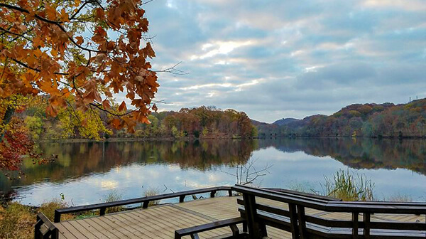
PLEASANT HILL: Lake Alice Trail Distance: 1.5 miles & 0.3 miles Rating: Easy This is a nice walk through the woods with lake views.  From the parking on West Lake Road, walk up Yonside Drive a short distance turning right where the Lake Alice Trail kiosk is.  Follow the trail markers in a clockwise direction around Lake Alice […]

Chapter Meeting

Monday March 27 – Joint TTA Chapter Meeting and Friends of Short Springs Membership Meeting.  7pm D.W. Wilson Community Center, 501 N. Collins Street, Tullahoma.  Dennis Horn will give a new PowerPoint Presentation on Orchids of Tennessee. Dennis is a charter member of the Tennessee Native Plant Society and an editor of the field guide […]

Bridal Veil Falls

Tuesday March 28 —Sewanee Perimeter Trail: Bridal Veil Falls, moderate, 4.6 miles, 700’ elevation gain. This hike is the section of the Sewanee Perimeter trail from the Memorial Cross to Bridal Veil Falls. The elevation gain is mostly on the way back to the parking lot. The hike starts with a stunning view of the valley below and continues […]

Tuesday: Local Fossils by Ron Zurawski

REI Brentwood 261 Franklin Road, Brentwood, Tennessee

Ron Zurawski, TN State Geologist, will speak to us about identifying local fossils.  He will be sharing a fossil hunting guide for the Nashville area.  Everything you always wanted to know from Brachiopods to Mollusks!!! Join us for dinner prior to the meeting in the immediate REI area at 5:00.  Call or text Libby at […]

CT Piney River Segment, Spring City, TN.

Joint hike with Upper Cumberland Chapter. Ninth hike of the CT 200 mile challenge. Long Hike: Newby Branch Trailhead to Shut-in Gap Road for 8.5 miles rated moderate to strenuous. Short Hike: 4 mile moderate in/out from Newby Branch trailhead. A vehicle shuttle is necessary. This hike passes through dense mountain laurel, rhododendron, hemlock and […]

Narrows of the Harpeth

Wednesday, March 29. Narrows of the Harpeth. 2 miles. Moderate. This hike follows alongside the river, passing through an area known as "The Narrows". Here, the Harpeth River in a 5 mile bend nearly curves back on itself. Highlights include a panoramic view of the area, and a man-made tunnel that goes about 100 yards […]

polygon(703 1, 703 1, 695 1, 694 4, 676 5, 668 5, 664 5, 638 7, 638 7, 620 8, 608 8, 567 10, 567 10, 551 10, 551 10, 530 12, 525 13, 525 13, 505 13, 503 13, 460 13, 459 13, 444 13, 419 12, 419 12, 417 12, 406 13, 377 13, 361 13, 343 12, 343 12, 326 11, 313 13, 297 12, 272 12, 268 12, 268 12, 250 13, 225 13, 220 13, 207 13, 207 10, 194 9, 189 9, 191 28, 155 27, 153 27, 128 26, 126 26, 84 26, 78 26, 73 26, 68 26, 68 43, 60 58, 60 58, 51 77, 55 87, 52 87, 51 87, 49 88, 49 88, 48 88, 40 103, 35 125, 15 135, 20 141, 20 141, 20 142, 21 166, 21 166, 21 166, 20 168, 10 174, 2 176, 0 179, 0 180, 50 182, 56 182, 81 182, 94 183, 94 183, 109 183, 125 183, 128 183, 162 183, 164 183, 178 183, 196 182, 196 182, 227 183, 260 183, 261 183, 292 184, 296 184, 336 183, 336 183, 374 183, 396 183, 407 183, 416 183, 424 182, 448 181, 448 181, 462 181, 465 181, 465 181, 478 180, 503 180, 505 157, 512 152, 521 152, 525 150, 527 147, 532 129, 532 129, 533 130, 556 117, 556 117, 557 117, 558 118, 570 117, 571 117, 586 107, 590 103, 590 101, 590 101, 614 91, 618 76, 622 75, 630 69, 635 64, 637 63, 639 62, 640 62, 641 63, 641 63, 642 65, 642 65, 651 70, 657 60, 673 51, 673 51, 685 55, 696 38, 697 36, 698 34, 702 30, 707 28, 707 28, 707 27, 708 29, 710 30, 711 30, 711 30, 713 29, 713 24, 715 3, 718 1)