Nashville Urban History Hike

Nashville urban hike with a history theme, Nashville, TN. 6-8 miles. Easy to Moderate. Meet just before 9 am at the north end of Bicentennial Mall. Free parking is available near the TN State Museum and the Farmer’s Market. Our start point is at the circle of carillon bells (close to Jefferson Street, north end […]

Peacock Hill – College Grove, TN

AMENITIES Peacock Hill Nature Park (6990 Giles Hills Road, College Grove, TN 37046) Carpooling (meet at 8:00 AM) for this hike will be held in two areas. Chris Hoffman will meet at the Kroger (southwest corner of parking lot) in southern Spring Hill (3900 Port Royal Rd, Spring Hill, TN). Other members from Franklin may […]

Greenback TN – Tellico Lake

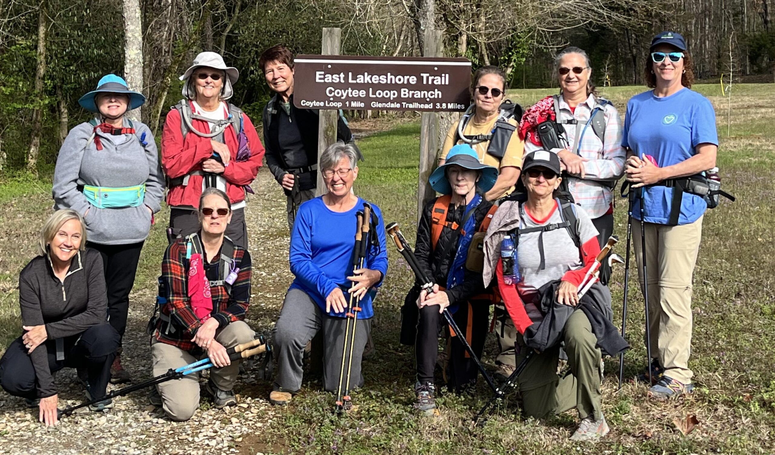
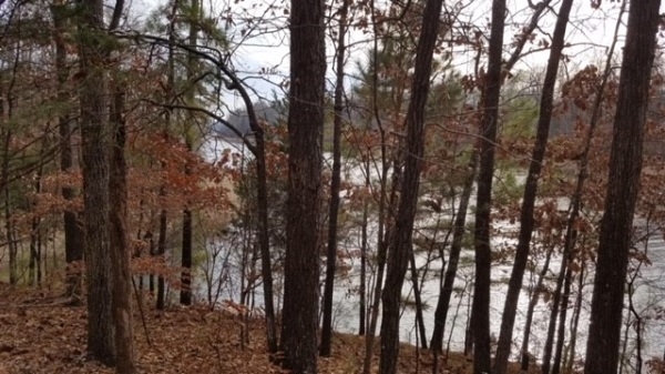
Coytee Loop Branch and Glendale Branch Loop Trail - East Lakeshore Trail in Greenback, TN on Tellico Lake. 5.4 miles. This hike is rated easy. The hike will start at the Coytee Loop Branch trailhead parking lot off Axley Chapel Rd., and connects with the Glendale Branch Trail. The trail follows the shoreline and is […]

Nashville Urban History Hike – Changed to Sunday, April 28

Sunday, April 28 (changed from Saturday, April 27) – Nashville Urban History Hike. 6-8 miles, on mostly level terrain. Joint hike with the Nashville chapter. We will meet just before 9:00 A.M. CT at the north end of the Bicentennial Mall. Free parking is available near the Tennessee State Museum and the Farmer’s Market. Our […]

Walk in the Woods Fairfield Glade: Windsor Bluff Overlook

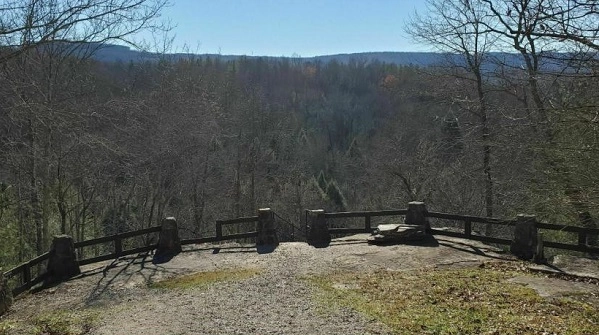
Distance: 1.6 miles. Rating: Easy The Overlook Trail is a local hiker's favorite and a gem for the Fairfield Glade area. For those wanting a quick and enjoyable reset in nature this is a great trail. It's recommended to complete the look clockwise to have a mostly flat/downhill hike until the final stretch of climbing […]

Flat Rock SNA Wildflower Pop-up

Flat Rock Cedar Glades and Barrens Factory Road, Murfreesboro, TN, United States

Flat Rock Cedar Glades and BarrensMurfreesboro, TN3.7 miles - easy This Middle Tennessee cedar glades and barrens features wooded sections, meadows, and contrasting rocky areas. We can expect to see a number of wildflower species - many of which are specifically adapted to the geography - and we’ll hike at a pace that allows us […]

Benton McKaye Trail to Hiwassee River

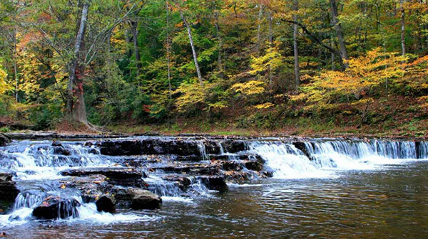
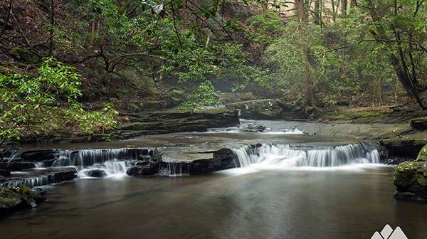
Tuesday, April 30 — Benton McKaye Trail: Lost Creek Campground to the Hiwassee River, 4.1 miles, easy. Requires shuttle. This is an especially outstanding section of the Benton McKaye Trail, which parallels Big Lost Creek through a deep limestone gorge with cascades and waterfalls. The trail follows an old railroad grade built for logging in […]

East Lakeshore Trail, Greenback, TN.

Joint hike with Upper Cumberland Chapter. Long Hike: East shore of Tellico from Lotterdale branch to Coytee 8.4 miles. Short hike to Stinging Creek 4.4 miles. Both long or short are easy to moderate miles with shuttle. WARNING LOTS OF POISON IVY. OPTION TO EAT AT LOCAL RESTAURANT. Carpool cost is $7. Sturdy hiking boots […]

McGregor Park to Fort Defiance

2.7 miles Easy Out and Back After the hike we can eat lunch at Wendy's. The whole hike is paved. We walk along both the Cumberland and Red Rivers, cross the Red River on a highway sidewalk and hike up switchbacks through the woods to the Fort's Museum. There are a couple of vistas overlooking […]

Canceled Cancelled – Fiery Gizzard North and Dog Hole Trail

Thursday, May 2 – Fiery Gizzard North and Dog Hole Trail. South Cumberland State Park, near Tracy City, TN. 8.5-10 miles depending on how many overlooks and waterfalls we include and rated difficult. Early morning start, exact time determined closer to the hike date. All day and expect around 7 hours hiking. The Fiery Gizzard […]

Canceled Cancelled – Fiery Gizzard North and Dog Hole Trail

Thursday, May 2 – Fiery Gizzard North and Dog Hole Trail. South Cumberland State Park, near Tracy City, TN. 8.5-10 miles depending on how many overlooks and waterfalls we include and rated difficult. Joint hike with Murfreesboro chapter. Early morning start, exact time determined closer to the hike date. All day and expect around 7 […]

Tims Ford State Park Hike

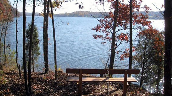
Thursday, May 2 – Tims Ford State Park, Winchester, TN.  Lost Creek Overlook Trail and a section of the Ray Branch Overlook Trail.  5 miles.  Easy.  Nice views of Tims Ford Lake while hiking over rolling hills in a mature hardwood forest.  Contact Joan Hartvigsen to register, jhartvigs@comcast.net or 931-636-2914. Meet at 9 am at […]

polygon(703 1, 703 1, 695 1, 694 4, 676 5, 668 5, 664 5, 638 7, 638 7, 620 8, 608 8, 567 10, 567 10, 551 10, 551 10, 530 12, 525 13, 525 13, 505 13, 503 13, 460 13, 459 13, 444 13, 419 12, 419 12, 417 12, 406 13, 377 13, 361 13, 343 12, 343 12, 326 11, 313 13, 297 12, 272 12, 268 12, 268 12, 250 13, 225 13, 220 13, 207 13, 207 10, 194 9, 189 9, 191 28, 155 27, 153 27, 128 26, 126 26, 84 26, 78 26, 73 26, 68 26, 68 43, 60 58, 60 58, 51 77, 55 87, 52 87, 51 87, 49 88, 49 88, 48 88, 40 103, 35 125, 15 135, 20 141, 20 141, 20 142, 21 166, 21 166, 21 166, 20 168, 10 174, 2 176, 0 179, 0 180, 50 182, 56 182, 81 182, 94 183, 94 183, 109 183, 125 183, 128 183, 162 183, 164 183, 178 183, 196 182, 196 182, 227 183, 260 183, 261 183, 292 184, 296 184, 336 183, 336 183, 374 183, 396 183, 407 183, 416 183, 424 182, 448 181, 448 181, 462 181, 465 181, 465 181, 478 180, 503 180, 505 157, 512 152, 521 152, 525 150, 527 147, 532 129, 532 129, 533 130, 556 117, 556 117, 557 117, 558 118, 570 117, 571 117, 586 107, 590 103, 590 101, 590 101, 614 91, 618 76, 622 75, 630 69, 635 64, 637 63, 639 62, 640 62, 641 63, 641 63, 642 65, 642 65, 651 70, 657 60, 673 51, 673 51, 685 55, 696 38, 697 36, 698 34, 702 30, 707 28, 707 28, 707 27, 708 29, 710 30, 711 30, 711 30, 713 29, 713 24, 715 3, 718 1)