Monte Sano Wildflowers (updated)

Monte Sano State Park Hiker's Trailhead SE Nolen AVE, Huntsville, AL, United States

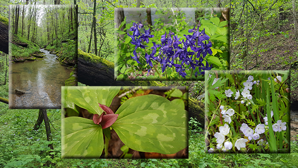
3-1/2 or 8-9 miles Strenuous for rugged terrain, length, and elevation change. Huntsville, AL.Monte Sano offers a combination of unique geographic features and scenic views and we’ll see an array of beautiful spring wildflowers. We've updated our trail selections: The Sinks / Stone Cuts loop is between 2 and 3 miles. The Natural Well hike […]
BSFNRA Sheltowee Trace/Gobbler Arch Jamestown, TN.

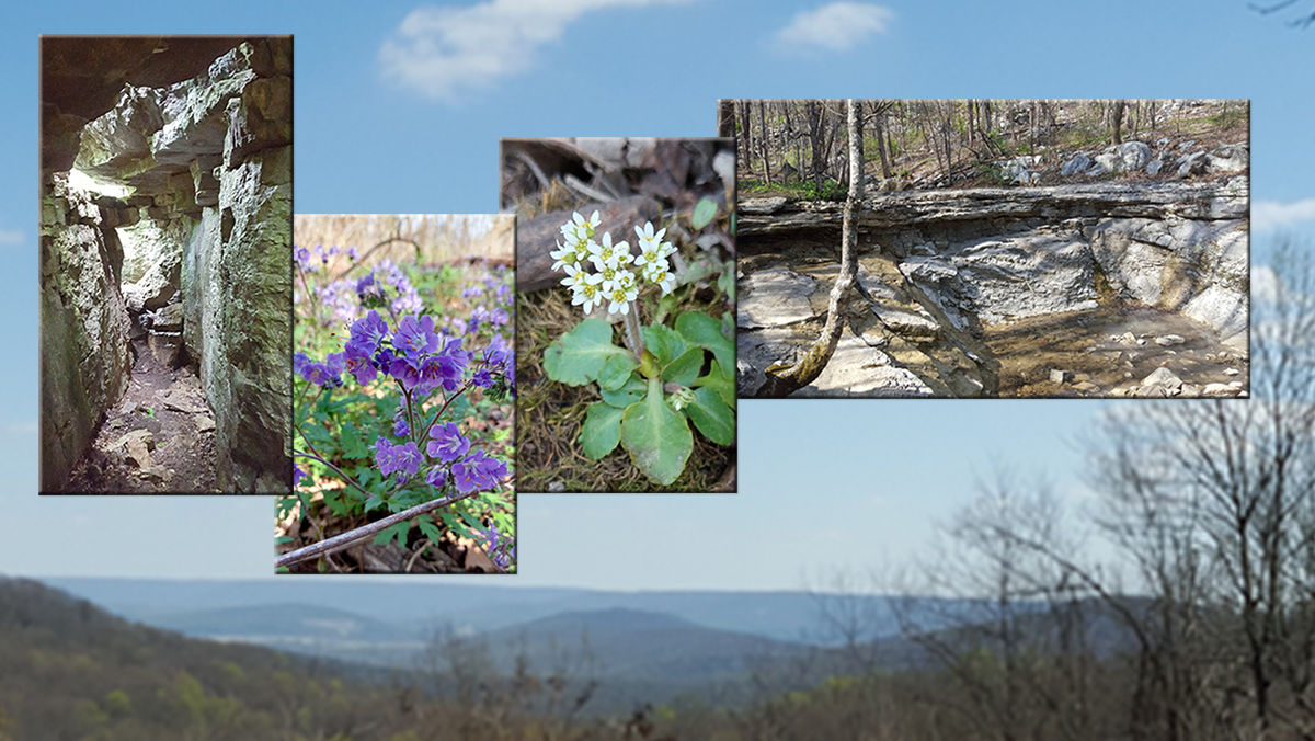
BSFNRA Sheltowee Trace/Gobblers Arch Jamestown, TN. 6 mile moderate to strenuous hike due to the climb up the Gobbler Arch Trail. The hike starts at the Peter’s Mountain trailhead on Divide Rd in the Big South Form Recreation Area and descends down the Sheltowee Trace Trail following the Mark Branch Creek past rock houses and […]

Meriwether Lewis National Monument

Meriwether Lewis Loop Trail 4.5 Miles Moderate & a side trip to Jackson Falls 3 Mile round trip Visit the Meriwether Lewis National Monument and a reconstruction of the location where Meriwether Lewis died in 1809. Meet at 8am CT at Big Lots Parking, Riverside Drive, Clarksville.  85 Miles to Trailhead  $10 Carpool Cost Hike […]

Walls of Jericho

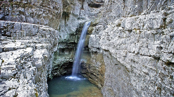
Saturday, April 12 – The Walls of Jericho, trailhead in AL, on the state line south of Winchester, around 7 miles, 1350’ el. gain, out-and -back, moderate/strenuous due to a long uphill on the way back. The Walls of Jericho are an awesome combination of rocks, cascades, cliffs, water spurting out of cliffs, water disappearing into a hole, and […]

Sarah Benson Park, Thompson’s Station

Sarah Benson Park is part of the Williamson County Park System.(1513 Thompson's Station Rd W, Thompson's Station, TN 37179). Goingsouth on Columbia Pike, at the intersection of Thompson's Station Roadand Columbia Pike, take a right onto Thompsons Station Road West, justpast the Exxon Gas Station. Go 350 yards and on the left is the entrance […]

Walk in the Woods

Daddy’s Creek Trail OVERLOOK Distance: 2.2 miles.  Rating: Easy to moderate. Daddy’s Creek Trailhead Overlook is a 2.2 mile lightly trafficked out and back trail located near Crab Orchard, Tennessee that features a river and is good for all skill levels. The trail is primarily used for hiking and nature trips and is accessible year-round. […]

Workday: Reflection Riding

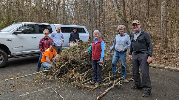
Tuesday, April 15 — VOLUNTEER WORK DAY AT REFLECTION RIDING ARBORETUM, at the base of Lookout Mountain in Chattanooga, 8:30 am to 12:30 pm ET. We will be doing light work to reroute the Profile Trail along Lookout Creek. Created long ago, this trail has fallen into disrepair. We are bringing it back by rerouting an […]

Weekly Radnor Lake Hike

Radnor Lake State Park 1160 Otter Creek Road, Nashville, Tennessee, United States

Wednesdays - Radnor Lake Standing Hike - 7 AM Radnor Lake State Park, Nashville TN. 5 miles. Moderate. Meet at the Visitor Center, West Parking Lot off Granny White, 1160 Otter Creek Road. Arrive 5-10 minutes early to be ready to hike at 7 am, or earlier if everyone has arrived. This hike has elevation […]

Washmorgan Hollow Wildflowers

Washmorgan Hollow State Natural Area Spring Creek Road, Dodson Branch, TN, United States

Gainesboro / Cookeville area. About 5 miles. Moderate to strenuous. This hike is for TTA members and guests only. We'll visit unique natural areas that offer a huge variety of spring ephemeral wildflowers and even the roadsides along the way are covered. The Washmorgan Hollow out-and-back trail follows a stream bed to a lovely waterfall, […]

Washmorgan Hollow Wildflowers plus Bee Rock, near Cookeville, TN 

*Thursday*, April 17th This is a joint hike, approximately 5 miles with Nashville Chapter for TTA members and guests only. We’ll visit unique natural areas that offer a huge variety of spring ephemeral wildflowers and even the roadsides along the way are covered. The Washmorgan Hollow out-and-back trail follows a stream bed to a lovely […]

Short Springs Wildflower and Waterfalls Hike with Randy Hedgepath

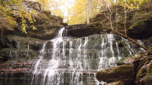
Thursday, April 17 – Short Springs SNA Wildflower and Waterfalls Hike with Retired Tennessee State Naturalist Randy Hedgepath, Tullahoma, TN.  About 5 miles, moderate.  Our hike leader, Margie Schumacher, will take us on all the trails:  Busby Falls Trail, Laurel Bluff Trail, Machine Falls Trail, Wildflower Loop, Adams Falls Loop.  Bring water and lunch. Bring […]

polygon(703 1, 703 1, 695 1, 694 4, 676 5, 668 5, 664 5, 638 7, 638 7, 620 8, 608 8, 567 10, 567 10, 551 10, 551 10, 530 12, 525 13, 525 13, 505 13, 503 13, 460 13, 459 13, 444 13, 419 12, 419 12, 417 12, 406 13, 377 13, 361 13, 343 12, 343 12, 326 11, 313 13, 297 12, 272 12, 268 12, 268 12, 250 13, 225 13, 220 13, 207 13, 207 10, 194 9, 189 9, 191 28, 155 27, 153 27, 128 26, 126 26, 84 26, 78 26, 73 26, 68 26, 68 43, 60 58, 60 58, 51 77, 55 87, 52 87, 51 87, 49 88, 49 88, 48 88, 40 103, 35 125, 15 135, 20 141, 20 141, 20 142, 21 166, 21 166, 21 166, 20 168, 10 174, 2 176, 0 179, 0 180, 50 182, 56 182, 81 182, 94 183, 94 183, 109 183, 125 183, 128 183, 162 183, 164 183, 178 183, 196 182, 196 182, 227 183, 260 183, 261 183, 292 184, 296 184, 336 183, 336 183, 374 183, 396 183, 407 183, 416 183, 424 182, 448 181, 448 181, 462 181, 465 181, 465 181, 478 180, 503 180, 505 157, 512 152, 521 152, 525 150, 527 147, 532 129, 532 129, 533 130, 556 117, 556 117, 557 117, 558 118, 570 117, 571 117, 586 107, 590 103, 590 101, 590 101, 614 91, 618 76, 622 75, 630 69, 635 64, 637 63, 639 62, 640 62, 641 63, 641 63, 642 65, 642 65, 651 70, 657 60, 673 51, 673 51, 685 55, 696 38, 697 36, 698 34, 702 30, 707 28, 707 28, 707 27, 708 29, 710 30, 711 30, 711 30, 713 29, 713 24, 715 3, 718 1)