Frozen Head State Park

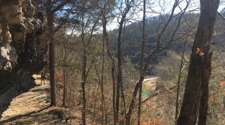
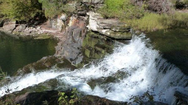
Hike Emory Gap, Panther Creek, Judge Branch, Frozen Head State Park. Join us on a flower hike in the Cumberland Mountains. We will park at the end of Flat Fork Road, hike a portion of the Panther Creek trail and the entire Emory Gap trail to the falls. On the Panther Creek trail we will […]
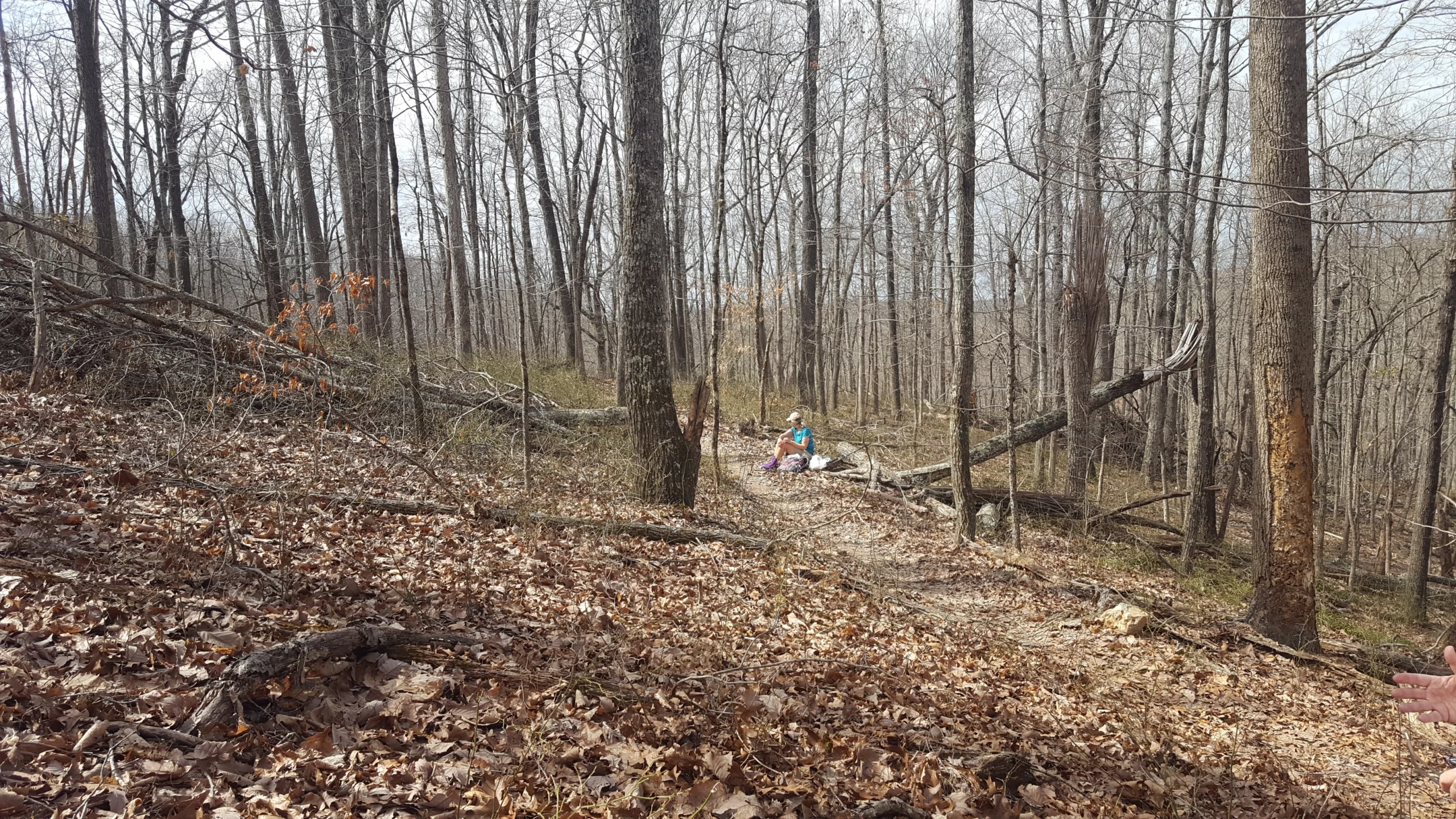
Walk in the Woods Woodlawn Loop Trail

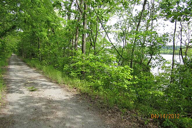
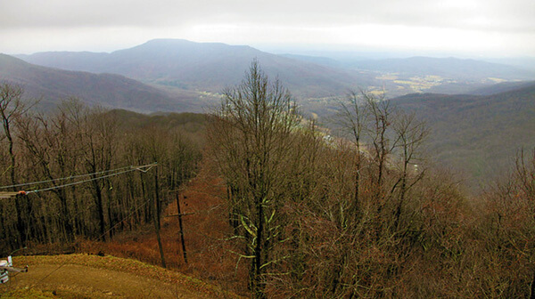
Distance: 1.2 miles (loop). Rating: Easy Explore this 1.2-mile loop trail near Crossville, Tennessee. Generally considered an easy route. This trail is great for hiking, running, and walking, and it's unlikely you'll encounter many other people while exploring.    MEET AT: the Trailhead on Wyatt Court, off Woodlawn Rd.  (Close to Buc-ee’s) Bring water, bug […]

Crockett Park Walk – Brentwood

Tuesday, April 23 – Crockett Park Walk – Brentwood. 5 miles rated moderate. Joint walk with the Nashville chapter. We will meet at 7:00 A.M. CT, though the time may be adjusted depending on the forecast. Meet in front of the Tennis Center building. It is closest to location G on the park map (Wilson […]

Crockett Park Walk – Brentwood

Tuesday, April 23 – Crockett Park Walk – Brentwood. 5 miles rated moderate. Joint walk with the Murfreesboro chapter. We will meet at 7:00 A.M. CT, though the time may be adjusted depending on the forecast. Meet in front of the Tennis Center building. It is closest to location G on the park map (Wilson […]

Base of Lookout Mountain

Tuesday, April 23 —St. Elmo and the bottom tip of Lookout Mountain, 4-5 miles, easy/moderate. We start from our meeting place at the foot of Lookout Mountain directly into historic St. Elmo, established in 1885 as Chattanooga’s first suburb. Our short urban walk leads us in a few blocks to Far Enough Trail, the first […]

Chapter Meeting

Nashville Chapter Meeting, REI Community Room, 261 Franklin Rd, Brentwood, TN. 6 P.M. Mary Priestly, editor of the new book, The Essential Mark Pritchard, Writings of a Conservation Hero, will give a talk at our April meeting. Mack was Tennessee's most passionate and articulate advocate for preservation of natural and cultural resources, including helping to […]

Picket State Park, Pogue Creek with the Ranger, Jamestown, TN.

This will be off trail. Difficultly level: Hard and strenuous. Hike will be around the mesas on Pogue Creek. Total distance is 4 miles, however, it's a hard 4 miles with rocky terrain and steep slopes. Total estimated hike time is 4-6 hours. It will have impressive sandstone rock formations. The Rangers have never taken […]

Winding Stairs

Wednesday, April 24. Winding Stairs. Lafayette, TN. 3.6 miles. We will hike the Red Oak to Milk Pail loop. Moderately strenuous with difficult uneven footing in places. There are several small waterfalls and beautiful rock formations. The trail consists of some optional stairs and concrete trail but most of the trail is rock, dirt and gravel […]

Barfield Crescent Park – Murfreesboro

Thursday, April 25 – Barfield Crescent Park. 697 Veterans Parkway, Murfreesboro. 4.9 miles rated moderate. From 6:30 A.M. to 10:00 A.M. CT. Meet at the porch of the Wilderness Station. Follow signs in the park to locate the station. There is a restroom at the station but none along the hiking route. We will hike […]

North Sylamore Creek Trail near Blanchard Springs, AR

This trip includes three days of hiking, Friday afternoon, Saturday and Sunday. Friday's hike will be on the extended Mirror Lake Trail at the Blanchard Springs Recreation Area. This easy approximately 2.5 mile hike passes by the foundations of the Blanchard Springs Mill, Mirror Lake and follows the Spring Creek to Blanchards Springs, then returns […]

CANCELED-Stone Fort & Machine Falls Loops.

This will be two hikes. The first hike is a 2.8-mile moderate loop on the enclosure, moat and backbone trails. After a 20-minute drive to Short Springs Natural Area the second hike is a 3.1 mile moderate loop to Machine, Adams, Busby, Falls and Laurel Bluff. Old Stone Fort was a Native American ceremonial gathering […]

Cumberland River Bicentennial Trail – Eagle Pass Trailhead

5.5 miles Easy We will hike from the Eagle Pass Trailhead towards Fox Bluff. Meet at Food Lion parking area on Madison Street, Clarksville for an 8am departure. Drive 18 miles to the Trailhead. Contact Hike Leader: Angela Leandre (931) 216-4231.

polygon(703 1, 703 1, 695 1, 694 4, 676 5, 668 5, 664 5, 638 7, 638 7, 620 8, 608 8, 567 10, 567 10, 551 10, 551 10, 530 12, 525 13, 525 13, 505 13, 503 13, 460 13, 459 13, 444 13, 419 12, 419 12, 417 12, 406 13, 377 13, 361 13, 343 12, 343 12, 326 11, 313 13, 297 12, 272 12, 268 12, 268 12, 250 13, 225 13, 220 13, 207 13, 207 10, 194 9, 189 9, 191 28, 155 27, 153 27, 128 26, 126 26, 84 26, 78 26, 73 26, 68 26, 68 43, 60 58, 60 58, 51 77, 55 87, 52 87, 51 87, 49 88, 49 88, 48 88, 40 103, 35 125, 15 135, 20 141, 20 141, 20 142, 21 166, 21 166, 21 166, 20 168, 10 174, 2 176, 0 179, 0 180, 50 182, 56 182, 81 182, 94 183, 94 183, 109 183, 125 183, 128 183, 162 183, 164 183, 178 183, 196 182, 196 182, 227 183, 260 183, 261 183, 292 184, 296 184, 336 183, 336 183, 374 183, 396 183, 407 183, 416 183, 424 182, 448 181, 448 181, 462 181, 465 181, 465 181, 478 180, 503 180, 505 157, 512 152, 521 152, 525 150, 527 147, 532 129, 532 129, 533 130, 556 117, 556 117, 557 117, 558 118, 570 117, 571 117, 586 107, 590 103, 590 101, 590 101, 614 91, 618 76, 622 75, 630 69, 635 64, 637 63, 639 62, 640 62, 641 63, 641 63, 642 65, 642 65, 651 70, 657 60, 673 51, 673 51, 685 55, 696 38, 697 36, 698 34, 702 30, 707 28, 707 28, 707 27, 708 29, 710 30, 711 30, 711 30, 713 29, 713 24, 715 3, 718 1)