TTA Annual Meeting

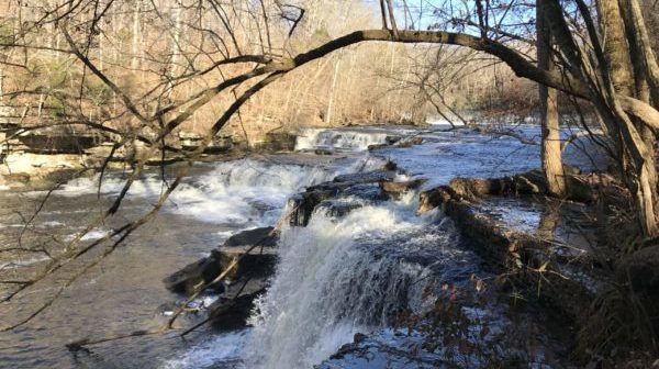
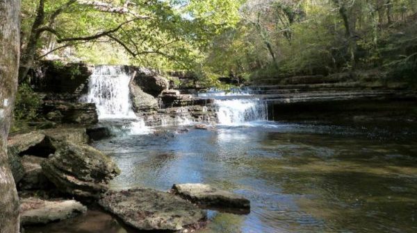
Friday, October 25 to Sunday, October 27 — TTA Annual Meeting at Fall Creek Falls. See the TTA August Newsletter for registration materials and further information.

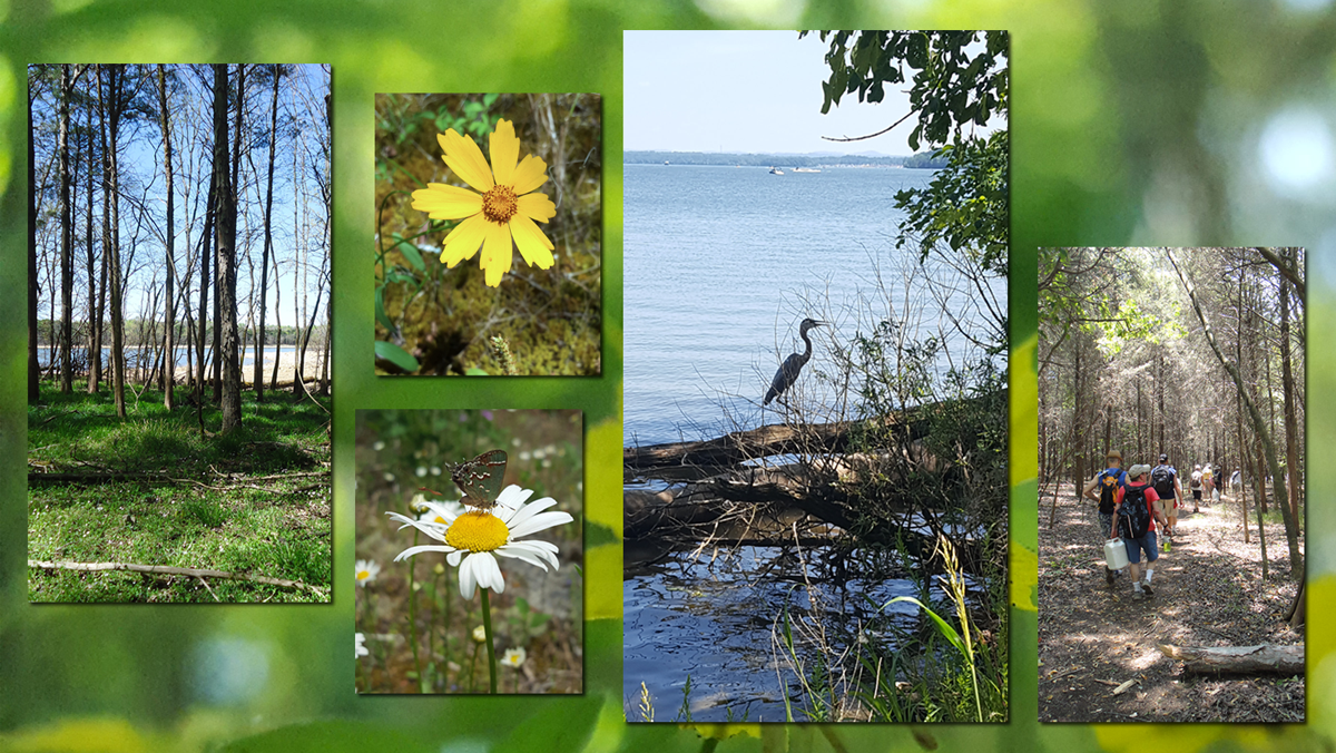
Walk in the Woods THE CROSSVILLE GREENWAY: Habitat Trail

Distance: 2.1 miles.  Rating: Easy                                     This trail opened in July 2022.  This is an easy lollypop trail along the Obed River. MEET AT: The trail-head parking lot on Deerfield Road by Spiders Branch. The trail starts across the road from the parking lot.   Bring water, bug spray, sunscreen and a snack.  Persons 18 and over, members and non-members […]

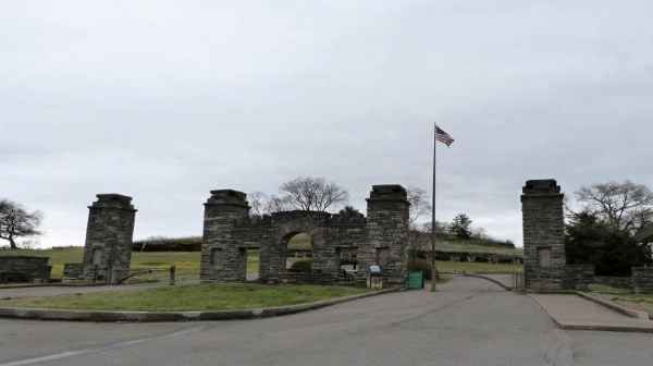
Chattanooga National Cemetery

Tuesday, October 29 — Chattanooga National Cemetery History Walk, 3 to 5 miles, easy, pavement and grass, some climbing is required. This property was vital to the battles for Chattanooga. Due to its location between Missionary Ridge and Lookout Mountain, General U. S. Grant chose it for his headquarters. We will see many monuments recognizing […]

Cumberland Cove – Icy Cove Trail, Monterey, TN

Joint hike with Upper Cumberland Chapter. Hike is 5 miles total rated moderate to strenuous. Meet hike leader, Sheila, at the Cove Deli & Market 15454 Hwy 70 N, Monterey, TN. We’ll eat lunch at the Long Road Cafe in Mayland. Depart 8:00 am CDST from the outer parking lot of Harbor Freight, 145 Highland […]

Mammoth Cave National Park, 4.3 Miles, Moderate + Cave Tour, 2 Miles and 540 Steps

We will Hike the Green River Bluffs and Heritage Loop Trail in Mammoth Cave National Park (4.3 Miles Moderate). This beautiful trail leads from the picnic area down to the Green River along the bluffs. It's a broad path, making it easy to navigate. There are many scenic viewpoints along this route and interesting geological features […]

Short Springs Workday

Saturday, November 2 – Short Springs State Natural Area Workday.  Meet in the parking lot at 8:00 am.  The address is 2250 Short Springs Road, Tullahoma.  Let Joan Hartvigsen know you will help, jhartvigs@comcast.net or 931-636-29194.  Bring water and a snack.  Bring work gloves, loppers and pruners.  Bring safety glasses, mattocks, shovels, hand saws, drill […]

Snow Falls

Saturday, November 2 — Snow Falls in the Laurel/Snow SNA, Dayton TN, out-and-back, about 10 miles,1328’ el. gain., rocky, moderate/strenuous. The first part of our hike is a pleasant stroll along Richland Creek, where we can admire its Class III-IV rapids (assuming it starts raining again in our area), along with scattered remnants of coal mining operations. […]

Lucius Burch Natural Area – North

The hike will be approximately 5.75 miles and take between 2 1/2 and 3 hours. The terrain is relatively flat with a few steep ravine crossings. Bring water and a snack. Hiking boots are recommended especially if we have had recent rain. Rain will cancel hike. We will meet in the unpaved parking area on […]

Elsie Holmes Nature Trails

Tuesday, November 5 — Elsie Holmes Nature Trails near Ringgold GA, around 3.5 to 4 miles, loop, a few hundred feet of elevation gain, easy. Our goal on this hike is to walk on almost every trail in this quiet park, starting with a loop and then a loop within a loop. This will be […]

Savage Gulf Backpacking Trip

Wednesday-Thursday, November 6-7 – Beginner Overnight Backpacking Trip – Savage Gulf State Park.  Savage Falls Group Campsite.  Joint event with the Murfreesboro Chapter.  From the Savage Gulf East Parking Lot, the group campsite is 1.5 miles via the Savage Day Loop and South Rim Trails.  After setting up camp, we will hike the 5.8 mile […]

Savage Gulf Overnight Backpacking Trip

Wednesday-Thursday, Nov 6-7 – Beginner Overnight Backpacking Trip – Savage Falls Group Campsite. Savage Gulf State Park. Address for trailhead is 3157 TN 399 in Palmer. Joint event with the Highland Rim chapter. From the Savage Gulf East parking lot, the campground is 1.5 miles via the Savage Day Loop and South Rim trails. After […]

CT Upper Piney River Spring City, TN.

Wednesday November 6 - CT Upper Piney River, Spring City, TN. Joint hike with Upper Cumberland Chapter. We'll start on the southern end of the newly opened Upper Piney Section and hike North. Long Hike: Choice of in/out 8 mi total or 12 mi thru hike to Shut-in Gap Road. Both are strenuous/difficult due to […]

polygon(703 1, 703 1, 695 1, 694 4, 676 5, 668 5, 664 5, 638 7, 638 7, 620 8, 608 8, 567 10, 567 10, 551 10, 551 10, 530 12, 525 13, 525 13, 505 13, 503 13, 460 13, 459 13, 444 13, 419 12, 419 12, 417 12, 406 13, 377 13, 361 13, 343 12, 343 12, 326 11, 313 13, 297 12, 272 12, 268 12, 268 12, 250 13, 225 13, 220 13, 207 13, 207 10, 194 9, 189 9, 191 28, 155 27, 153 27, 128 26, 126 26, 84 26, 78 26, 73 26, 68 26, 68 43, 60 58, 60 58, 51 77, 55 87, 52 87, 51 87, 49 88, 49 88, 48 88, 40 103, 35 125, 15 135, 20 141, 20 141, 20 142, 21 166, 21 166, 21 166, 20 168, 10 174, 2 176, 0 179, 0 180, 50 182, 56 182, 81 182, 94 183, 94 183, 109 183, 125 183, 128 183, 162 183, 164 183, 178 183, 196 182, 196 182, 227 183, 260 183, 261 183, 292 184, 296 184, 336 183, 336 183, 374 183, 396 183, 407 183, 416 183, 424 182, 448 181, 448 181, 462 181, 465 181, 465 181, 478 180, 503 180, 505 157, 512 152, 521 152, 525 150, 527 147, 532 129, 532 129, 533 130, 556 117, 556 117, 557 117, 558 118, 570 117, 571 117, 586 107, 590 103, 590 101, 590 101, 614 91, 618 76, 622 75, 630 69, 635 64, 637 63, 639 62, 640 62, 641 63, 641 63, 642 65, 642 65, 651 70, 657 60, 673 51, 673 51, 685 55, 696 38, 697 36, 698 34, 702 30, 707 28, 707 28, 707 27, 708 29, 710 30, 711 30, 711 30, 713 29, 713 24, 715 3, 718 1)