July 12, 2024 @ 8:30 am – 1:30 pm
College Grove, TN
6 miles. Moderately strenuous for elevation change.
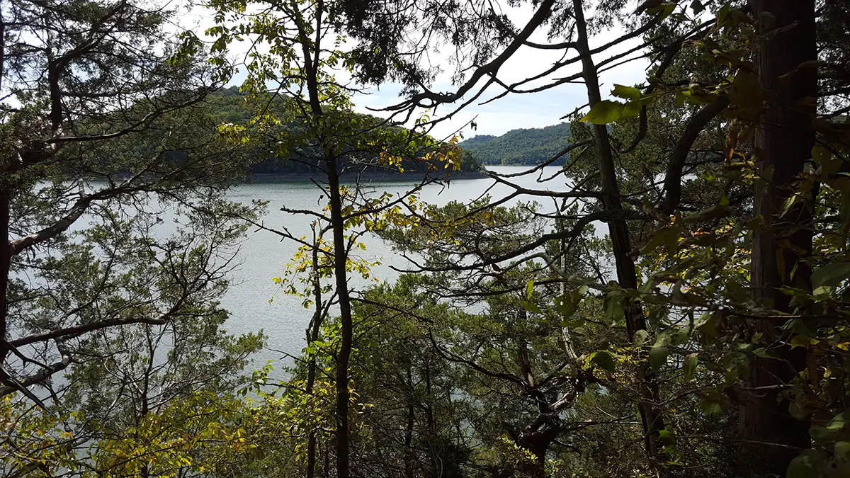
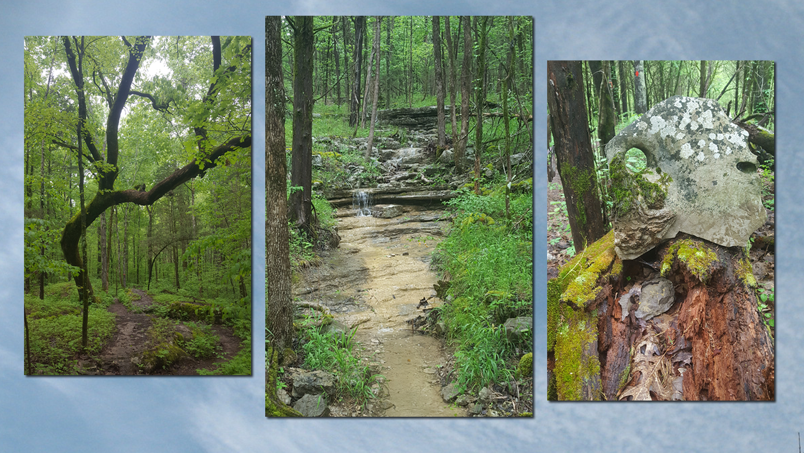
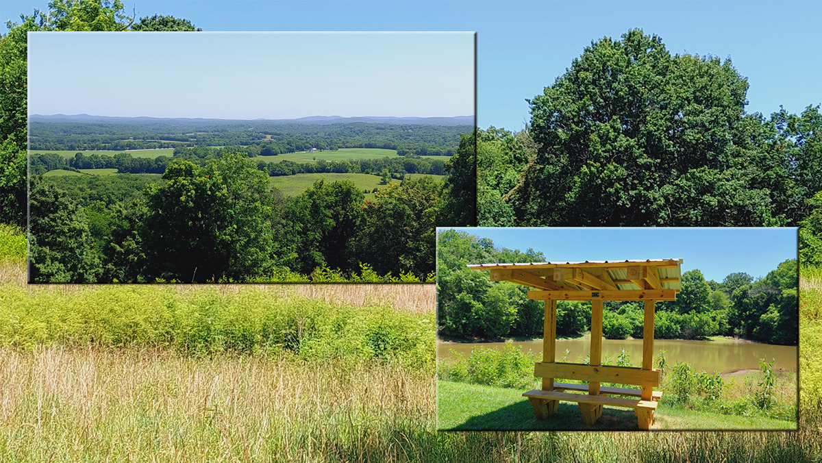
Joint hike with the Murfreesboro chapter. This park has 246 acres that includes 6 interconnected trails, a visitor center and several dramatic overlooks. We’ll spend time on open prairie as well as the tree canopy, and hiking gravel, dirt, farm road, and mowed grass trails. Bring sun protection, bug spray, and plenty of water and snacks. Meet in the visitor center parking lot for an 8:30 AM step-off. Register with Mark for details and updates: midtn@tnhiker.net (615) 669-3221.
Alternate date for inclement weather: Tuesday, July 16th.
Mark H
(615) 669-3221
midtn@tnhiker.net